MyTopo
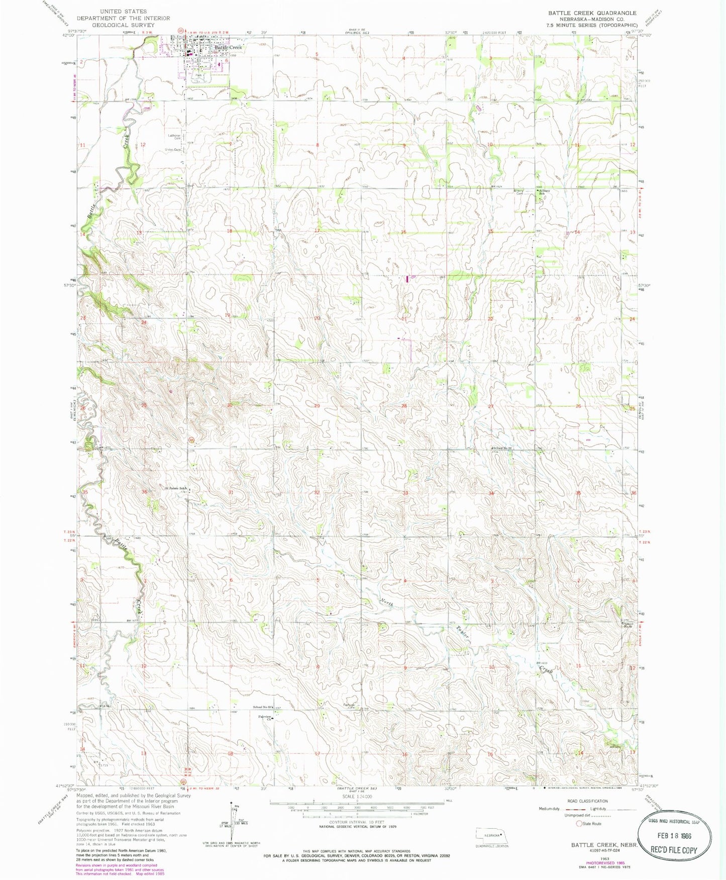
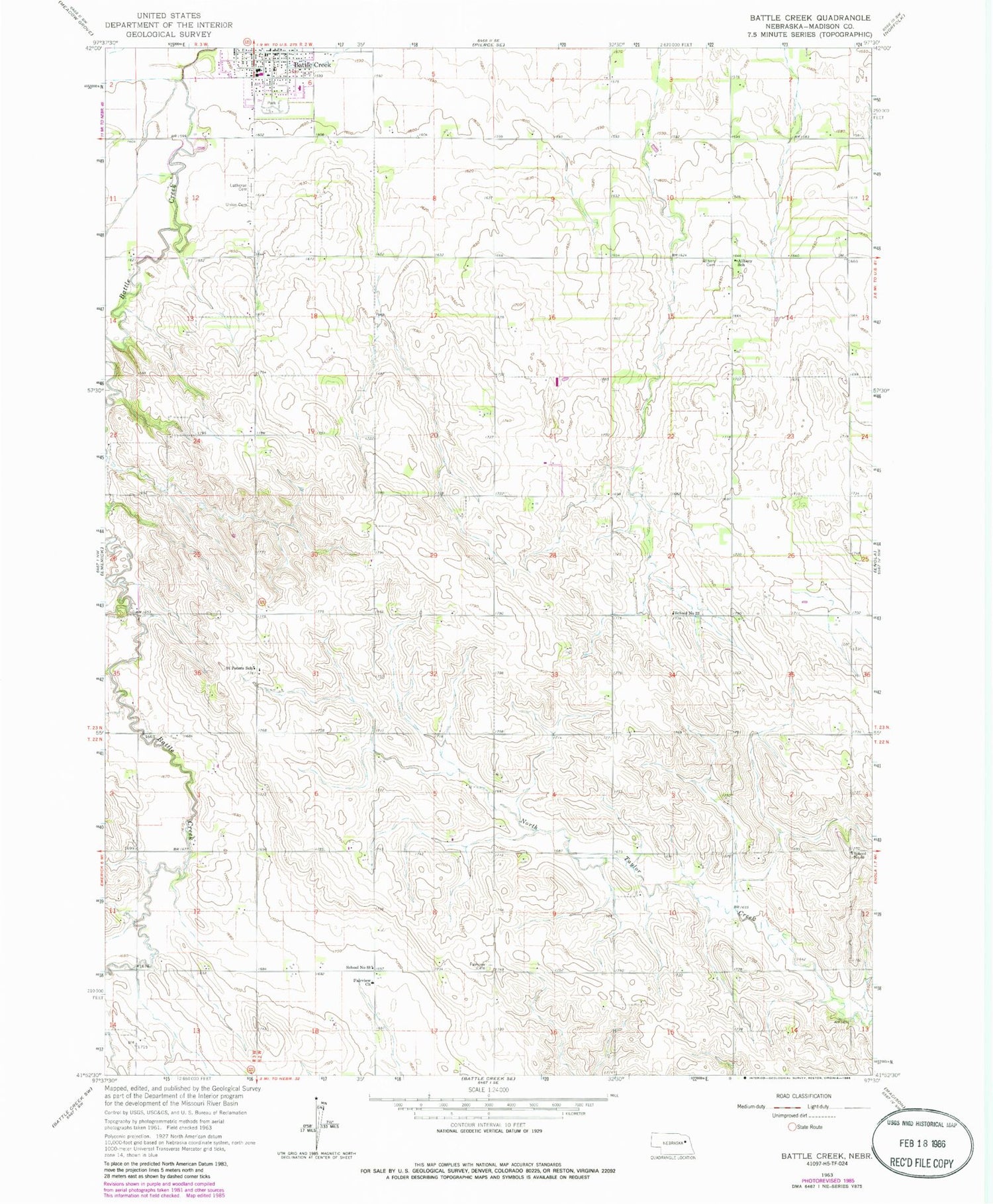
Classic USGS Battle Creek Nebraska 7.5'x7.5' Topo Map
Couldn't load pickup availability
Historical USGS topographic quad map of Battle Creek in the state of Nebraska. Map scale may vary for some years, but is generally around 1:24,000. Print size is approximately 24" x 27"
This quadrangle is in the following counties: Madison.
The map contains contour lines, roads, rivers, towns, and lakes. Printed on high-quality waterproof paper with UV fade-resistant inks, and shipped rolled.
Contains the following named places: Allbery Cemetery, Allbery School, Battle Creek, Battle Creek City Park, Battle Creek Election Precinct, Battle Creek Elementary School, Battle Creek Municipal Park Campground, Battle Creek Police Department, Battle Creek Post Office, Battle Creek Public Library, Battle Creek Volunteer Fire and Rescue, City of Battle Creek, Community Pride Care Center, Evergreen Hill Golf Course, Fairview, Fairview Cemetery, Fairview Church, KNEN-FM (Norfolk), Lutheran Cemetery, Madison County, Oak Valley State Wildlife Management Area, Parks of Pride Arboretum, Saint John Lutheran School, Saint Johns Lutheran Church, Saint Peters School, School Number 22, School Number 66, School Number 88, Union Cemetery, United Methodist Church, ZIP Code: 68715