MyTopo
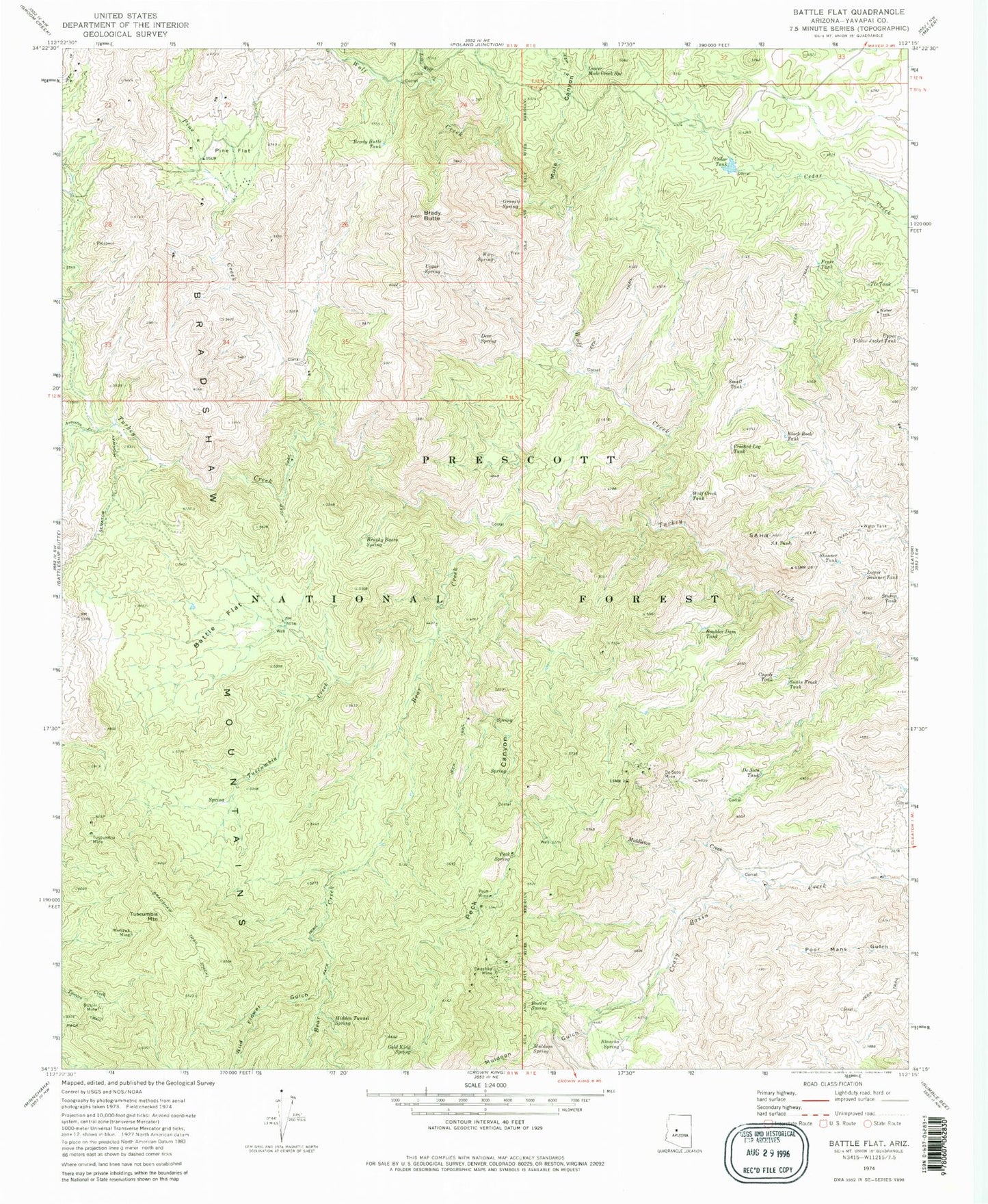
Classic USGS Battle Flat Arizona 7.5'x7.5' Topo Map
Couldn't load pickup availability
Historical USGS topographic quad map of Battle Flat in the state of Arizona. Typical map scale is 1:24,000, but may vary for certain years, if available. Print size: 24" x 27"
This quadrangle is in the following counties: Yavapai.
The map contains contour lines, roads, rivers, towns, and lakes. Printed on high-quality waterproof paper with UV fade-resistant inks, and shipped rolled.
Contains the following named places: Arrastra Creek, Battle Flat, Bear Creek, Black Rock Tank, Blancho Spring, Boulder Dam Tank, Bradshaw Trail, Brady Butte, Brady Butte Tank, Brushy Basin Spring, Bucket Spring, Buster Mine, Cedar Tank, Coyote Tank, Crooked Leg Tank, De Soto Mine, De Soto Tank, Deer Spring, Fence Tank, Gold King Spring, Granite Spring, Hidden Tunnel Spring, Little Wolf Creek, Lower Mule Creek Spring, Lower Skinner Tank, Middleton Creek, Mohawk Mine, Muldoon Gulch, Muldoon Spring, Mule Canyon, Peck Canyon, Peck Mine, Peck Spring, Pine Creek, Pine Flat, S A Hill, S A Tank, Skinner Tank, Small Tank, Snake Track Tank, Stump Tank, Swastika Mine, T D Tank, Tuscumbia Creek, Tuscumbia Mine, Tuscumbia Mountain, Upper Spring, Upper Yellow Jacket Tank, Wild Flower Gulch, Wire Spring, Wolf Creek, Wolf Creek Tank, Goat Ranch, Gold King Mine, Harl Tank, Hawkey Well, Juniper Spring, Mineral Creek Dam Tank, Poor Mans Spring, Rocky Spring, Sandrock Spring, The Troughs Spring, Turkey Spring, Battle Flat Trick Tank, SA Hill Trick Tank, Coyote Spring, West Side Trick Tank


