MyTopo
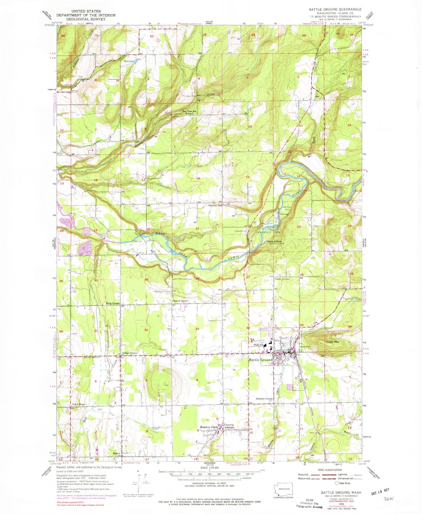
Classic USGS Battle Ground Washington 7.5'x7.5' Topo Map
Couldn't load pickup availability
Historical USGS topographic quad map of Battle Ground in the state of Washington. Typical map scale is 1:24,000, but may vary for certain years, if available. Print size: 24" x 27"
This quadrangle is in the following counties: Clark.
The map contains contour lines, roads, rivers, towns, and lakes. Printed on high-quality waterproof paper with UV fade-resistant inks, and shipped rolled.
Contains the following named places: Bee Tree School, Camp Juliana, Dublin Cemetery, Lewisville Cemetery, Manor, Lewisville Park, Cherry Grove, King Corner, Charter Oak, Dollar Corner, Meadow Glade, Scotton Corner, Tukes Mountain, Good Hope, Battle Ground Fairgrounds, Battle Ground High School, Battle Ground West, Chief Umtuch Middle School, Lewisville Middle School, Kumtux, Maple Grove School, Maple Grove Elementary School, Captain Strong Elementary School, Morgan Creek, Rock Creek, Battle Ground, Columbia Adventist Academy, Harden Reservoir Dam, Harden Reservoir, Goheen Airport, Parkside Airpark, Cedars North Airpark, Lewisville, Cherry Grove Census Designated Place, Lewisville Census Designated Place, Dollars Corner Census Designated Place, Meadow Glade Census Designated Place, City of Battle Ground, Cherry Grove Friends Church, Community Baptist Church, Cornerstone Baptist Church, Battle Ground Baptist Church, Battle Ground Faith Church of the Nazarene, Battle Ground United Methodist Church, Landmark Christian Assembly Church, Maple Grove Church, Meadow Glade Seventh Day Adventist Church at Battle Ground, Smirna Christian Church, New Vision Church, Battle Ground Post Office, Clark County Fire District 3 Station 35, Clark County Fire and Rescue Station 22, Clark County Fire and Rescue Station 26, Becker Field, Battle Ground Police Department


