MyTopo
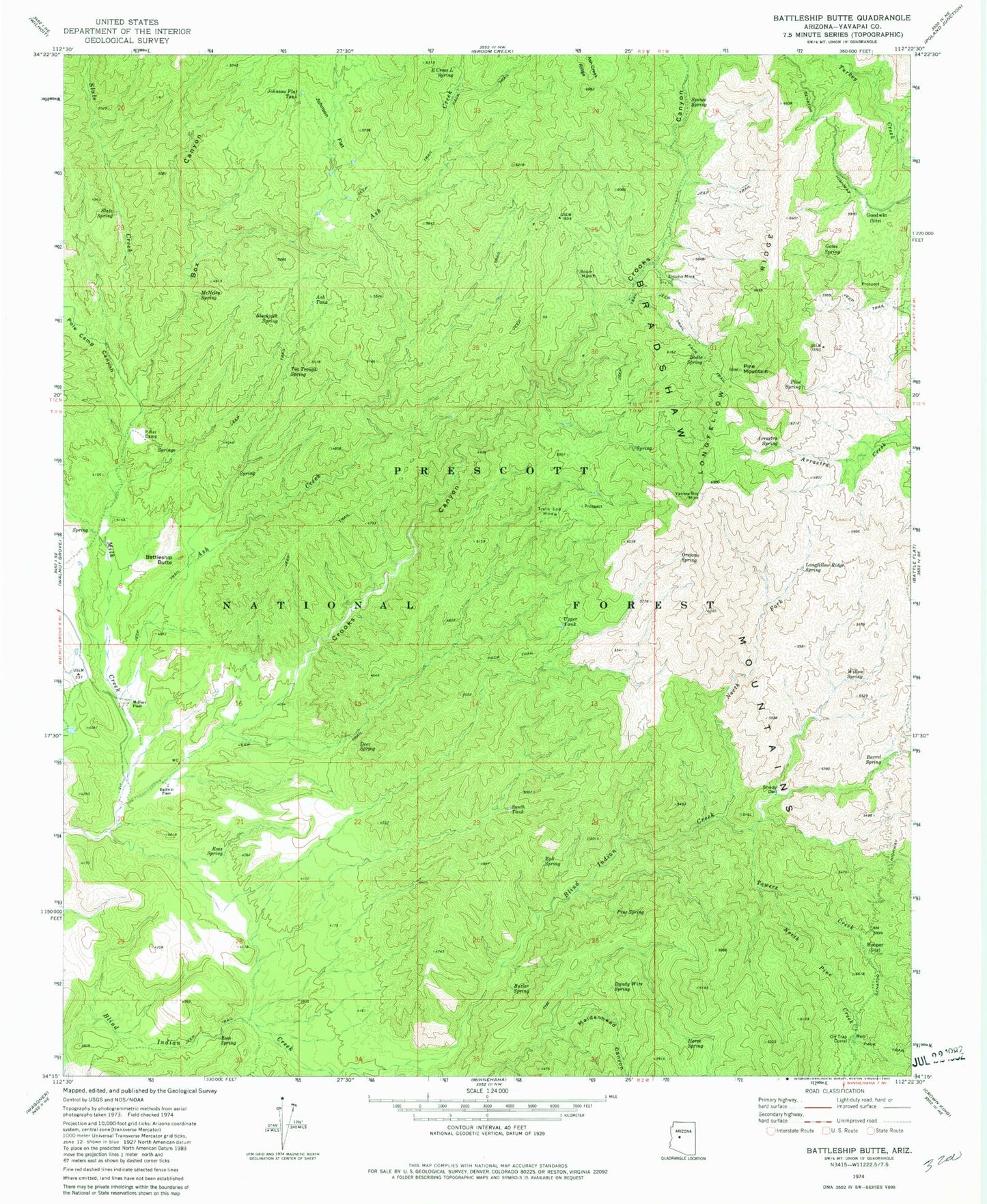
Classic USGS Battleship Butte Arizona 7.5'x7.5' Topo Map
Couldn't load pickup availability
Historical USGS topographic quad map of Battleship Butte in the state of Arizona. Typical map scale is 1:24,000, but may vary for certain years, if available. Print size: 24" x 27"
This quadrangle is in the following counties: Yavapai.
The map contains contour lines, roads, rivers, towns, and lakes. Printed on high-quality waterproof paper with UV fade-resistant inks, and shipped rolled.
Contains the following named places: Arrastra Spring, Ash Creek, Ash Tank, Baldwin Place, Barrel Spring, Battleship Butte, Blackjack Spring, Bodie Mine, Bodie Spring, Box Canyon, Butler Spring, Crooks Canyon, Dandy Wire Spring, Deer Spring, E Cross L Spring, Elouise Mine, Eph Spring, Gates Spring, Goodwin, Hooper, Horse Spring, Johnson Flat, Johnson Flat Tank, Longfellow Ridge, Longfellow Ridge Spring, Maidenhead Canyon, McNary Place, McNelty Spring, North Fork Blind Indian Creek, North Pine Creek, Orejano Spring, Orr Trap Corral, P Bar Camp, Pine Mountain, Pine Spring, Pine Spring, Pole Camp Canyon, Ross Spring, Ross Spring, Shady Dell, Slate Creek, Slate Spring, South Tank, Spence Spring, Tin Trough Spring, Towers Creek, Trails End Mine, Upper Tank, Willow Spring, Yankee Boy Mine, Berry Spring, Cottonwood Spring, Dandrea, Lower Tank, North Fork Spring, North Tank, Orr Spring, Orr Trap Tank, Pine Spring, Shipley Well, Walnut Spring, South Trick Tank, Deer Trick Tank, West Trick Tank


