MyTopo
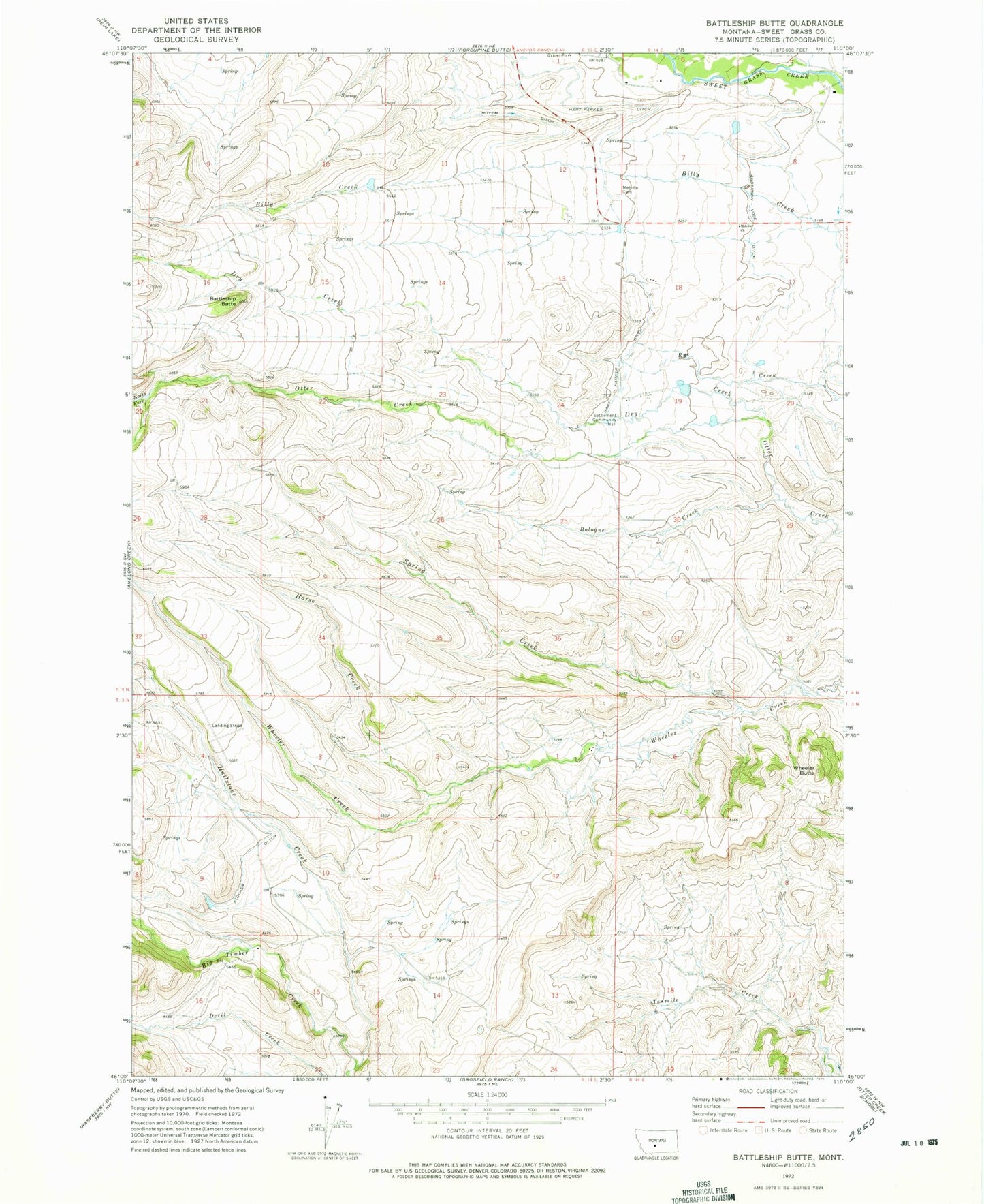
Classic USGS Battleship Butte Montana 7.5'x7.5' Topo Map
Couldn't load pickup availability
Historical USGS topographic quad map of Battleship Butte in the state of Montana. Map scale may vary for some years, but is generally around 1:24,000. Print size is approximately 24" x 27"
This quadrangle is in the following counties: Sweet Grass.
The map contains contour lines, roads, rivers, towns, and lakes. Printed on high-quality waterproof paper with UV fade-resistant inks, and shipped rolled.
Contains the following named places: 04N14E05____01 Well, 04N14E07____01 Well, 04N14E18____01 Well, 04N14E20____01 Well, Anderson Vose Ditch, Battleship Butte, Billy Creek, Bologne Creek, Dry Creek, Hailstone Creek, Hart Parker Ditch, Horse Creek, Melville Cemetery, Melville Church, Spring Creek, Stevens Number 1 Dam, Stocker Ditch