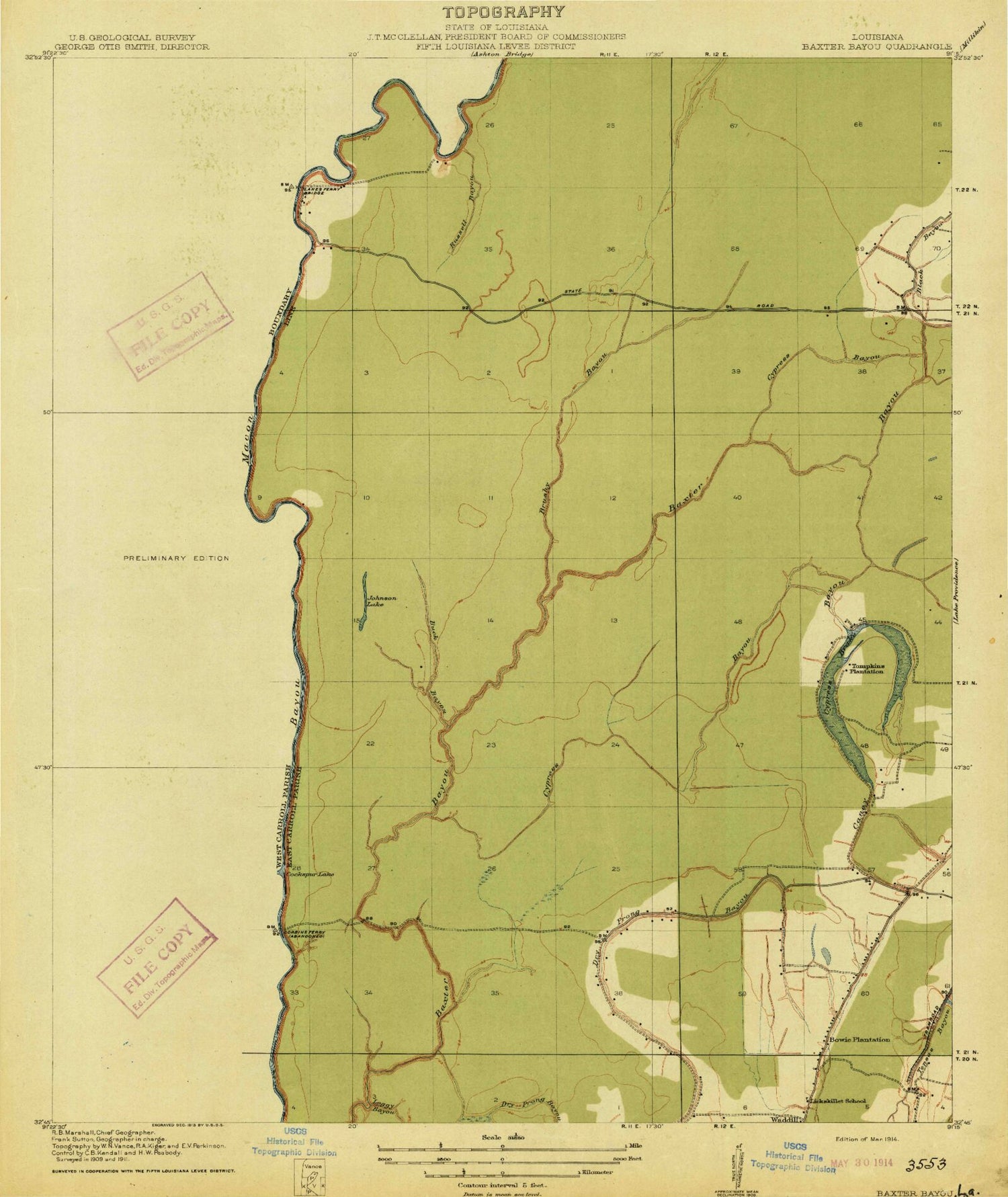

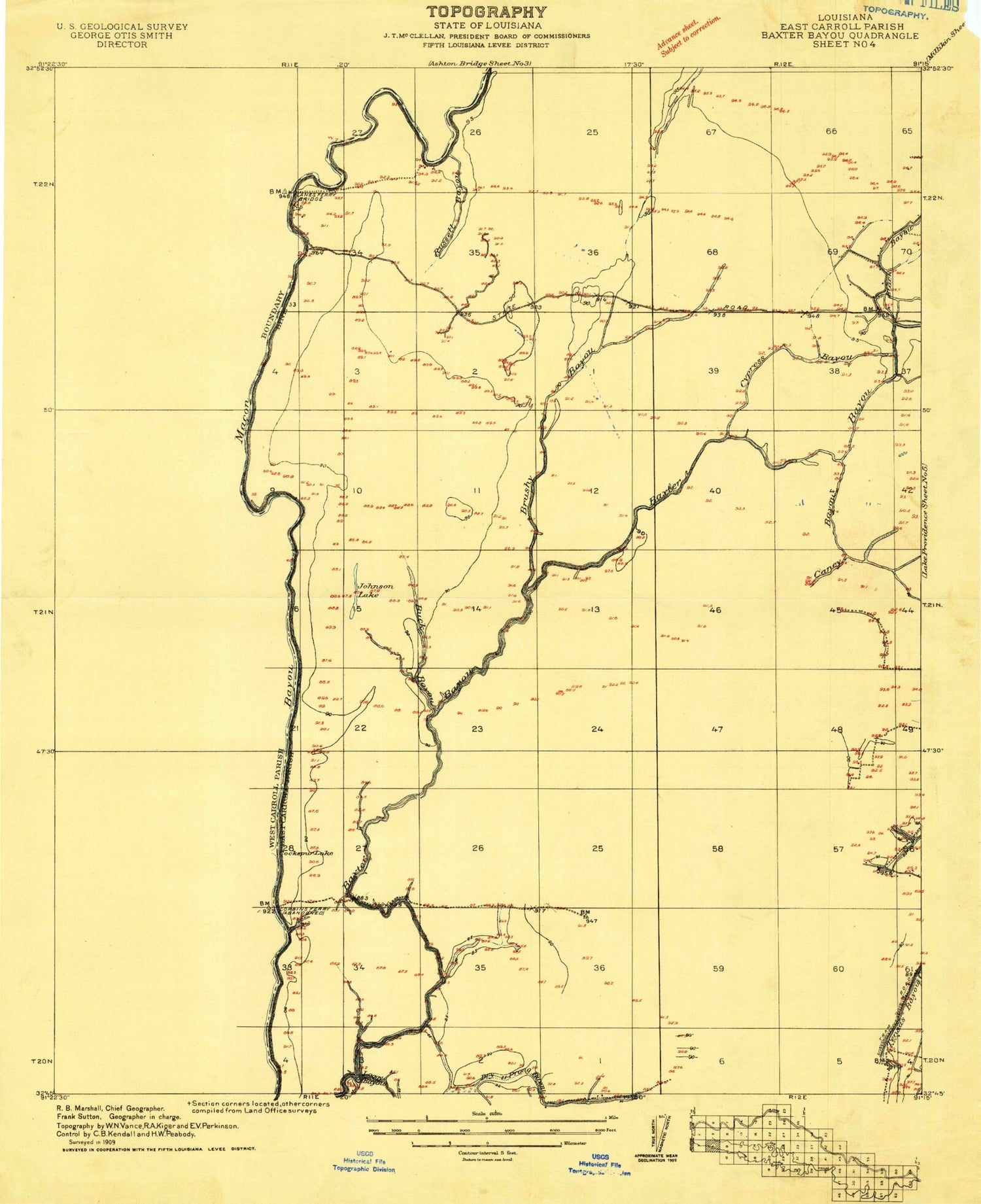
MyTopo
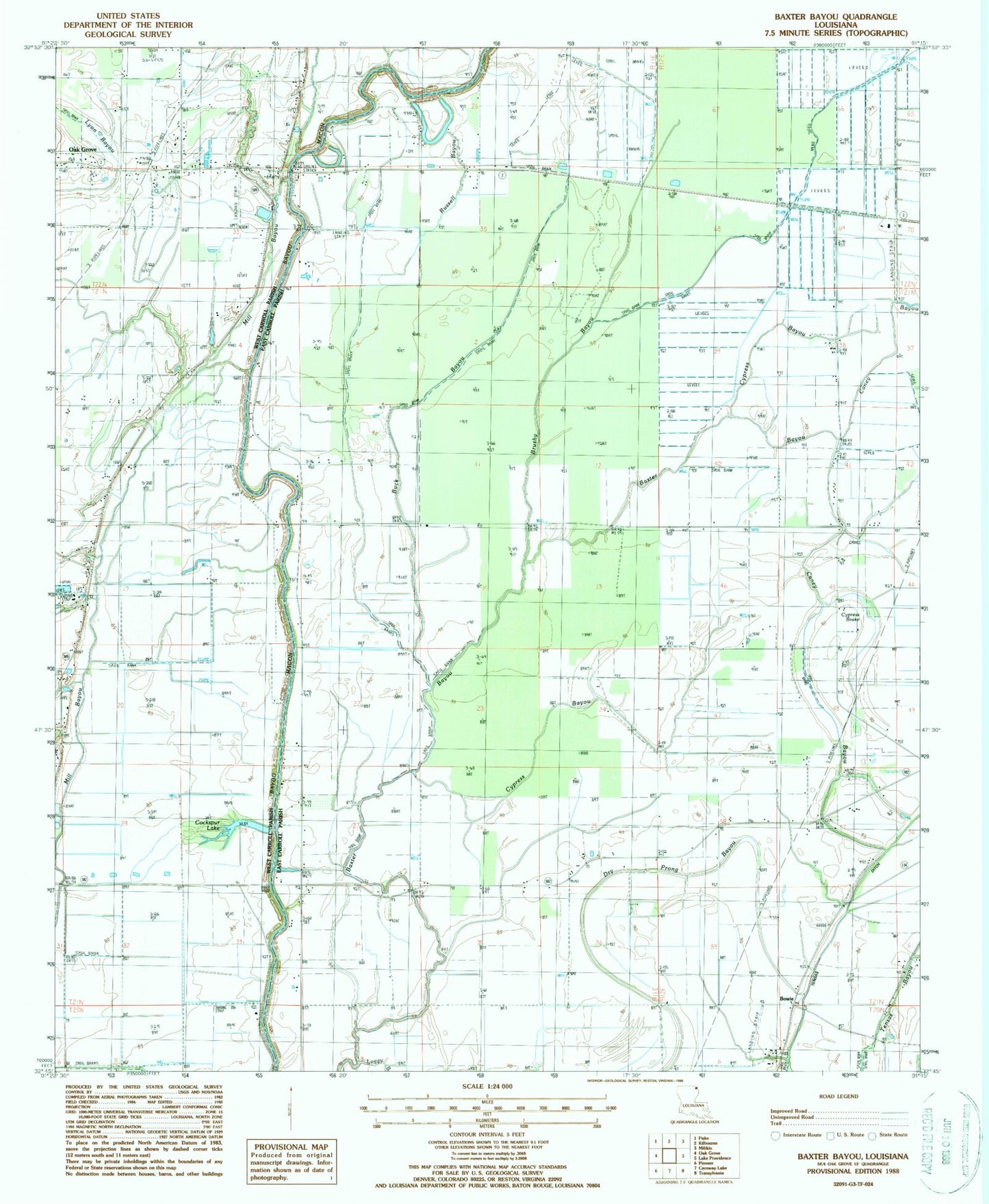
Classic USGS Baxter Bayou Louisiana 7.5'x7.5' Topo Map
Couldn't load pickup availability
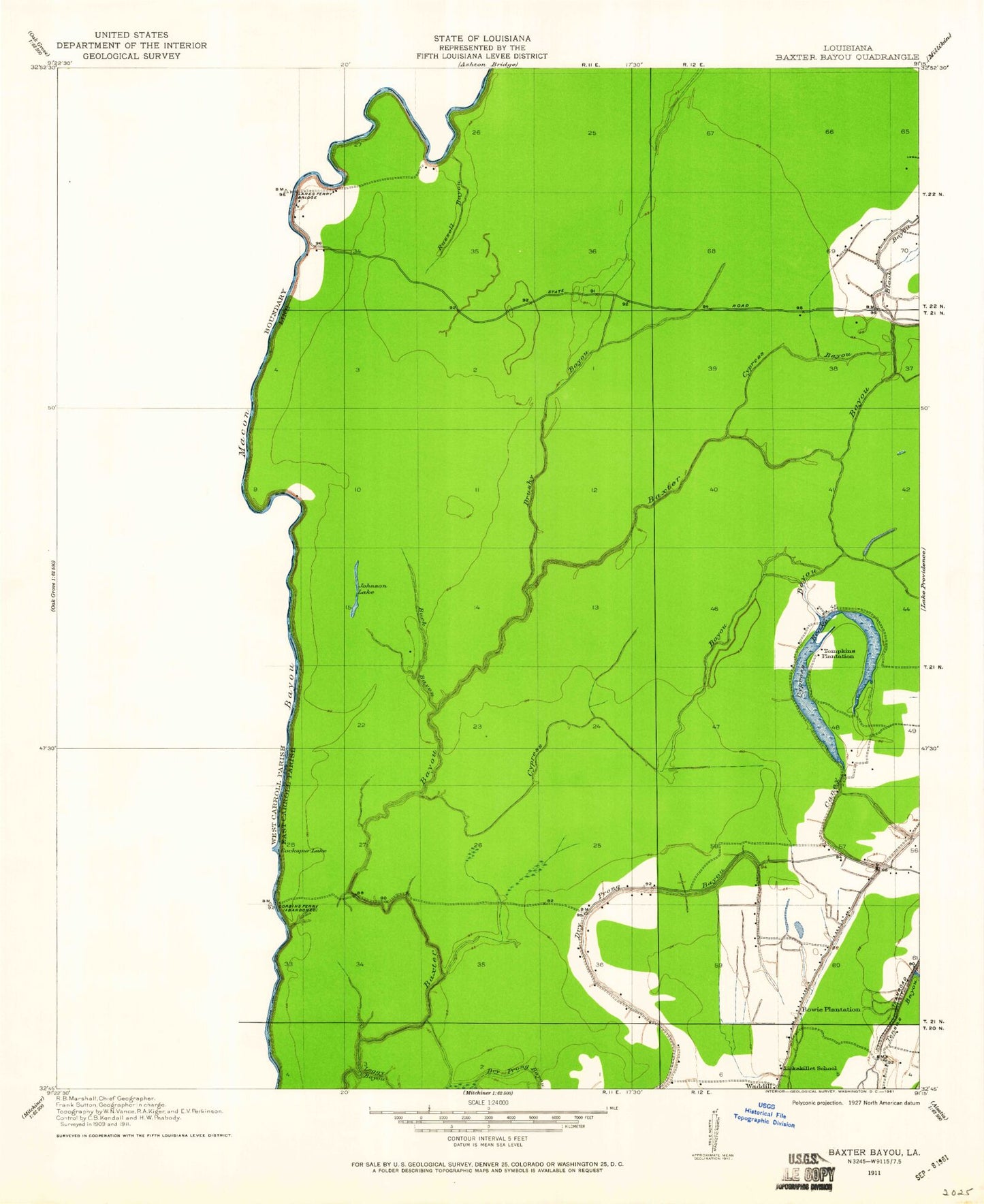
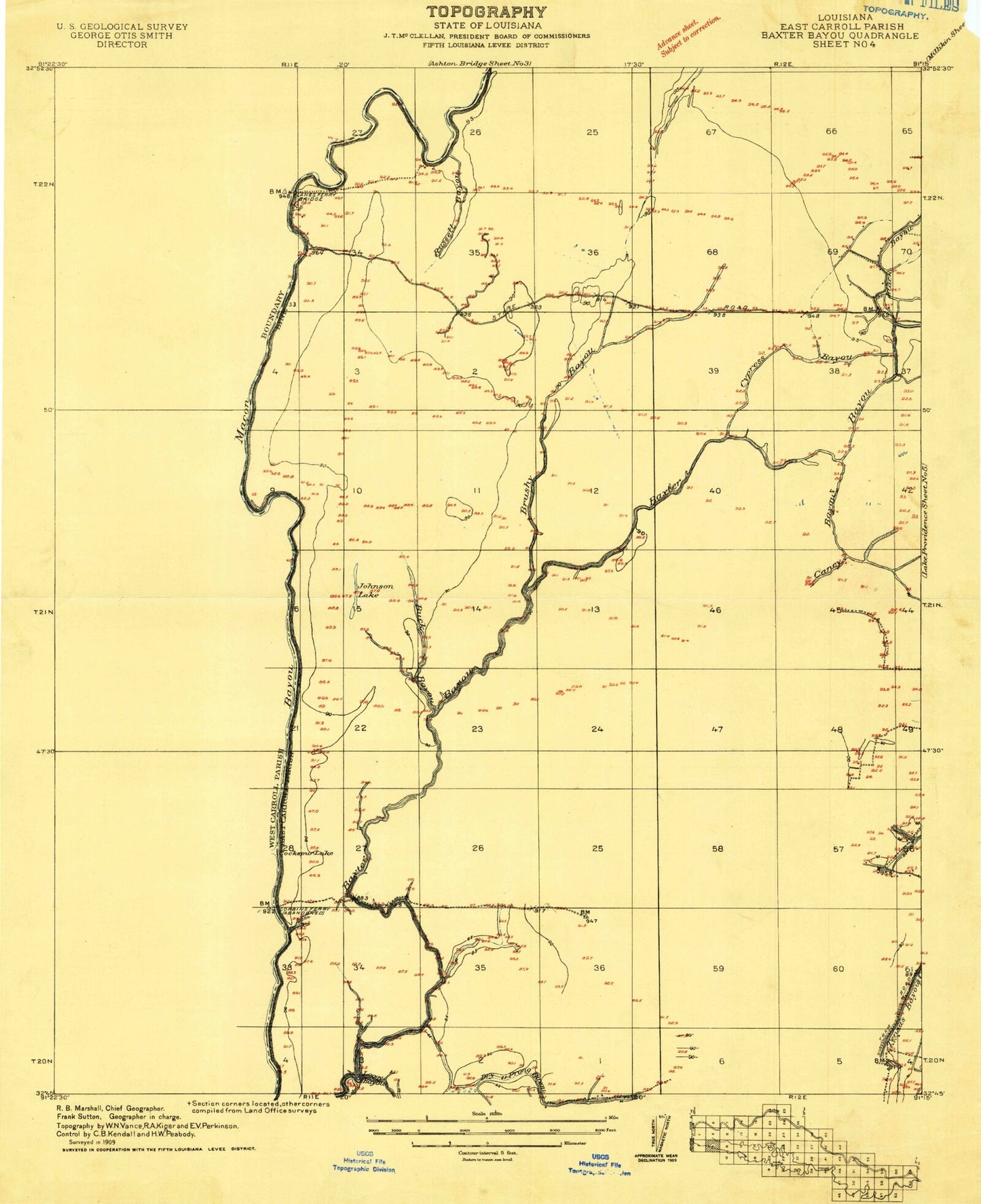
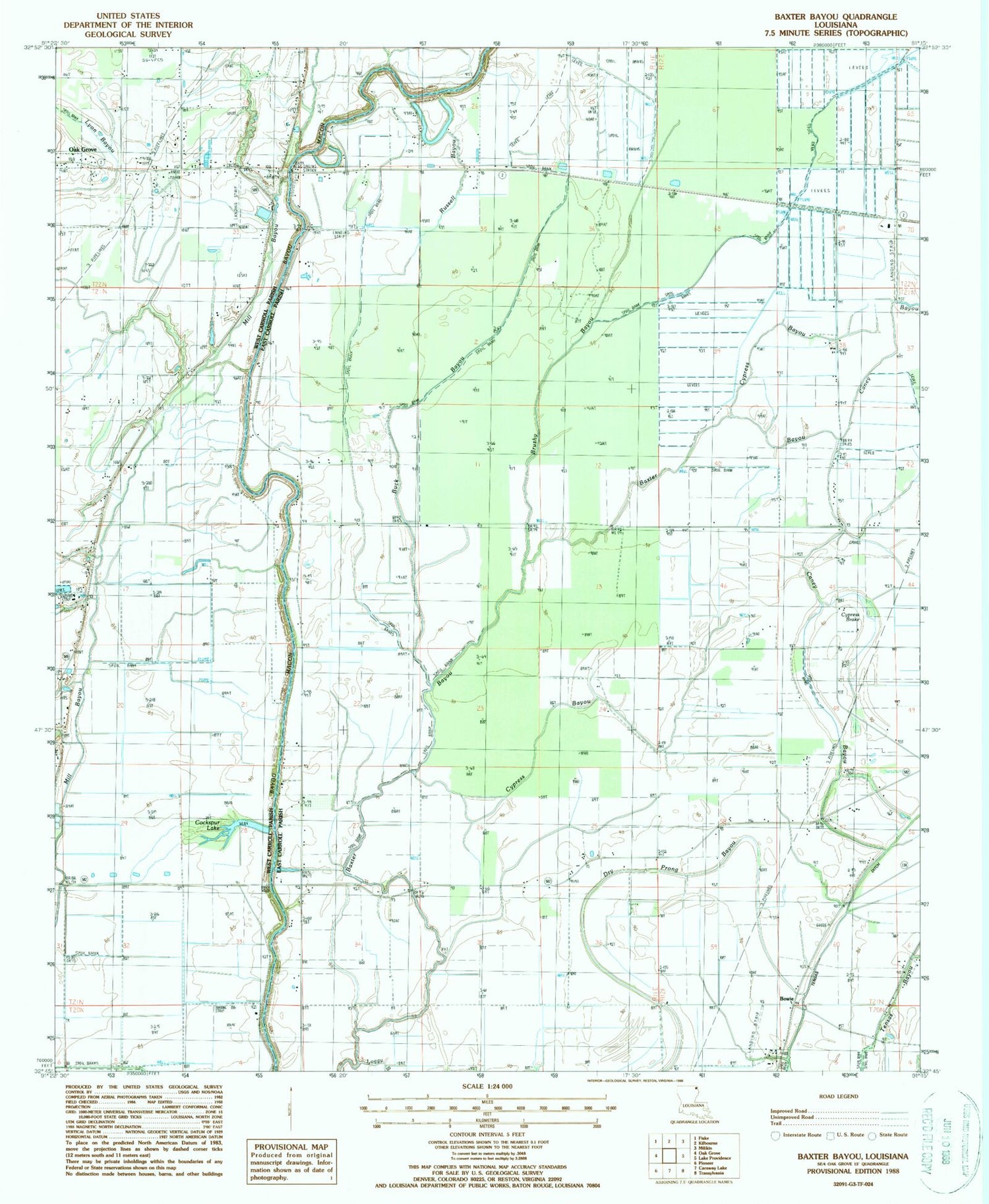
Historical USGS topographic quad map of Baxter Bayou in the state of Louisiana. Map scale may vary for some years, but is generally around 1:24,000. Print size is approximately 24" x 27"
This quadrangle is in the following counties: East Carroll, West Carroll.
The map contains contour lines, roads, rivers, towns, and lakes. Printed on high-quality waterproof paper with UV fade-resistant inks, and shipped rolled.
Contains the following named places: Berry Airport, Bowie, Bowie Oil Field, Bowie Plantation, Brushy Bayou, Buck Bayou, Caney Bayou, Cockspur Lake, Corbin Ferry Church, Corbins Ferry, Cordley School, Cypress Bayou, Cypress Brake, Dry Prong Bayou, Johnson Lake, KWCL-AM (Oak Grove), KWCL-FM (Oak Grove), Lanes Ferry Bridge, Lanes Ferry Church, Lickskillet School, Loggy Bayou, Lone Star Cemetery, Oakland Ridge Church, Olivedell Church, Parish Governing Authority District 3, Pilgrim Rest Church, Ruseell Bayou Oil Field, Russell Bayou, Tensas Ditch, The Bible Missionary Church, Tompkins Plantation, Waddell, ZIP Code: 71254