MyTopo
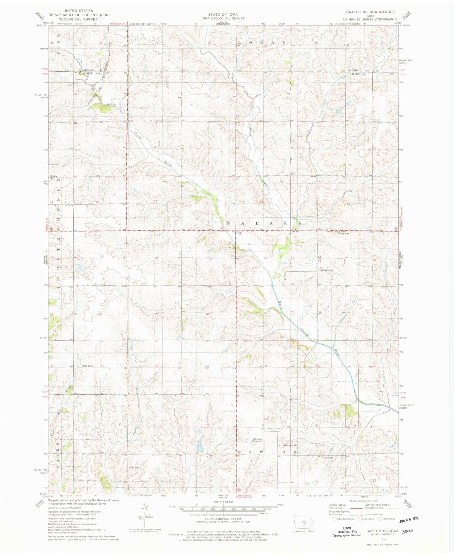
Classic USGS Baxter SE Iowa 7.5'x7.5' Topo Map
Regular price
$16.95
Regular price
Sale price
$16.95
Unit price
per
Couldn't load pickup availability
Historical USGS topographic quad map of Baxter SE in the state of Iowa. Map scale may vary for some years, but is generally around 1:24,000. Print size is approximately 24" x 27"
This quadrangle is in the following counties: Jasper, Marshall.
The map contains contour lines, roads, rivers, towns, and lakes. Printed on high-quality waterproof paper with UV fade-resistant inks, and shipped rolled.
Contains the following named places: Church of Christ Number 1, Horn, Horn Post Office, Linder Cemetery, Little Snipe Creek, Saint Johns Cemetery, Snipe Creek, Township of Malaka, Wittemberg Cemetery, Wittemberg Church, Wittemberg Grange Hall, Zoar Cemetery