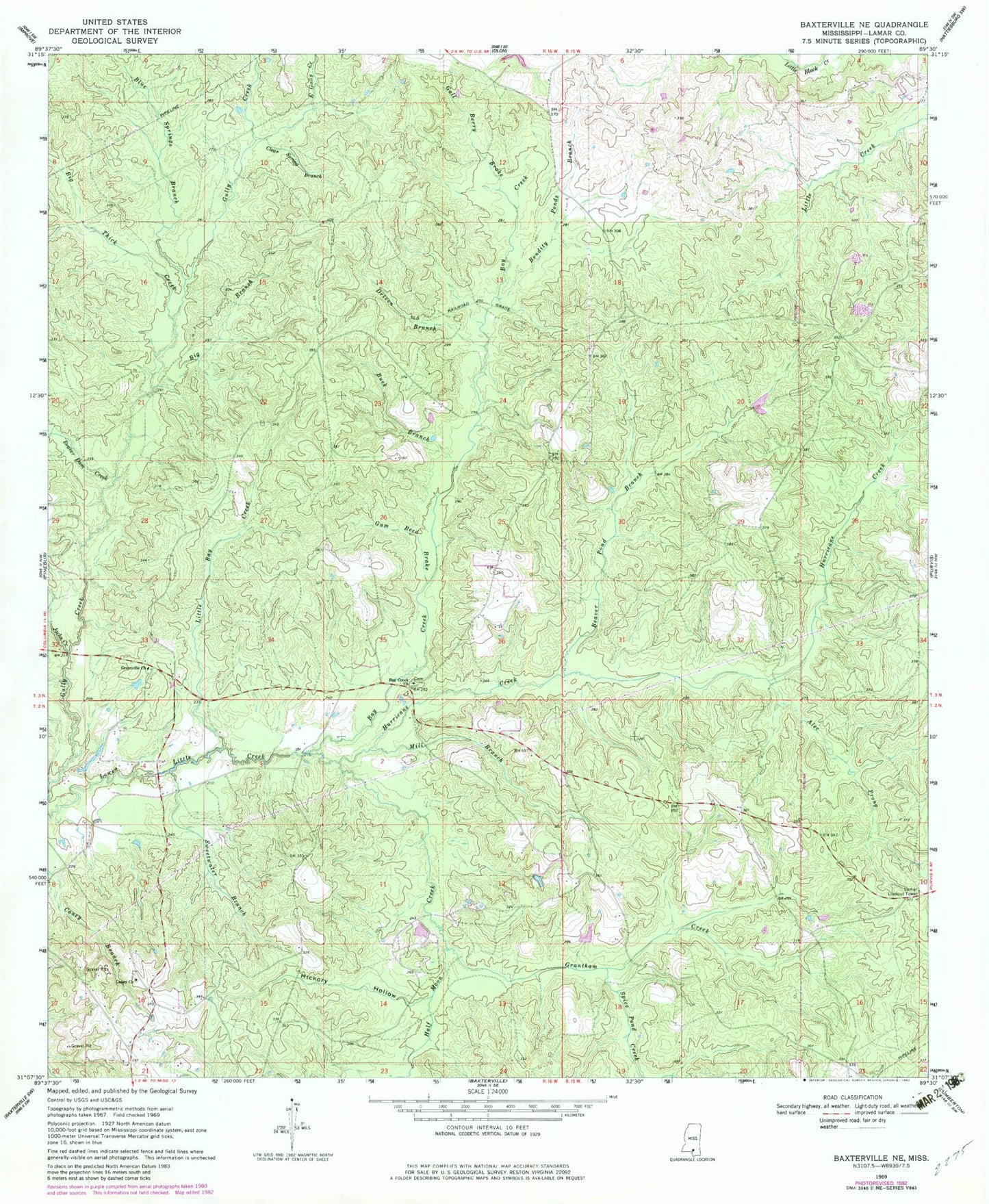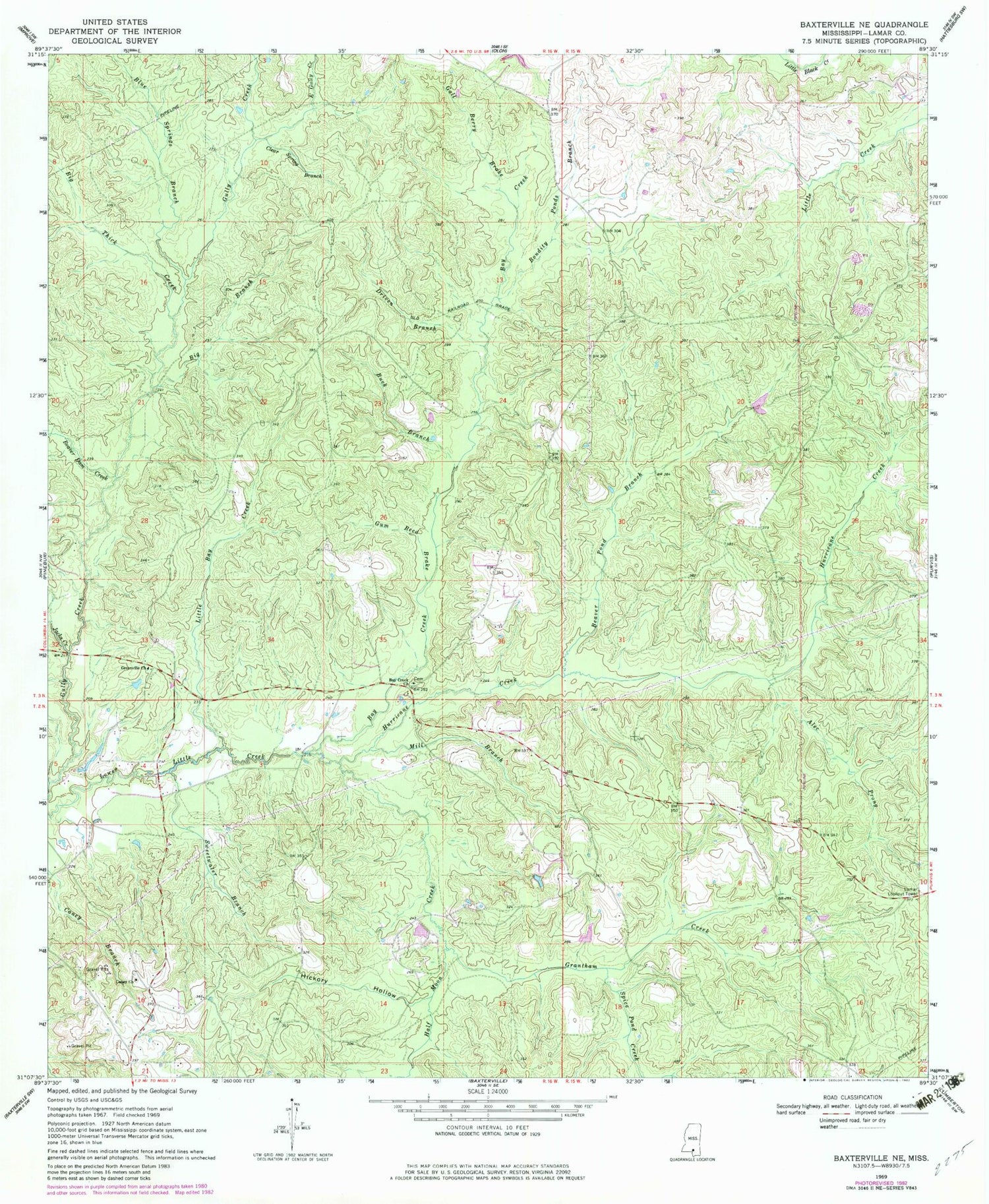
MyTopo
Classic USGS Baxterville NE Mississippi 7.5'x7.5' Topo Map
Couldn't load pickup availability
Historical USGS topographic quad map of Baxterville NE in the state of Mississippi. Map scale may vary for some years, but is generally around 1:24,000. Print size is approximately 24" x 27"
This quadrangle is in the following counties: Lamar.
The map contains contour lines, roads, rivers, towns, and lakes. Printed on high-quality waterproof paper with UV fade-resistant inks, and shipped rolled.
Contains the following named places: Alec Prong, Bay Creek, Bay Creek Cemetery, Bay Creek Church, Beaver Dam Creek, Beaver Pond Branch, Big Branch, Big Thick Creek, Blue Springs Branch, Bondity Ponds Branch, Buck Branch, Burnt School, Caney Church, Clear Spring Branch, Driven Branch, East Gully Creek, Gall Berry Brake, Grantham Creek, Greenville Church, Gum Reed Brake, Half Moon Creek, Hickory Hollow, Hurricane Creek, Jacks Creek, Lamar County, Lamar County Volunteer Fire Department, Lamar Lookout Tower, Little Bay Creek, Mill Branch, Spice Pond Creek, Supervisor District 3, Sweetwater Branch, Tatums Camps, Wolf Branch, York S Lake Dam