
MyTopo
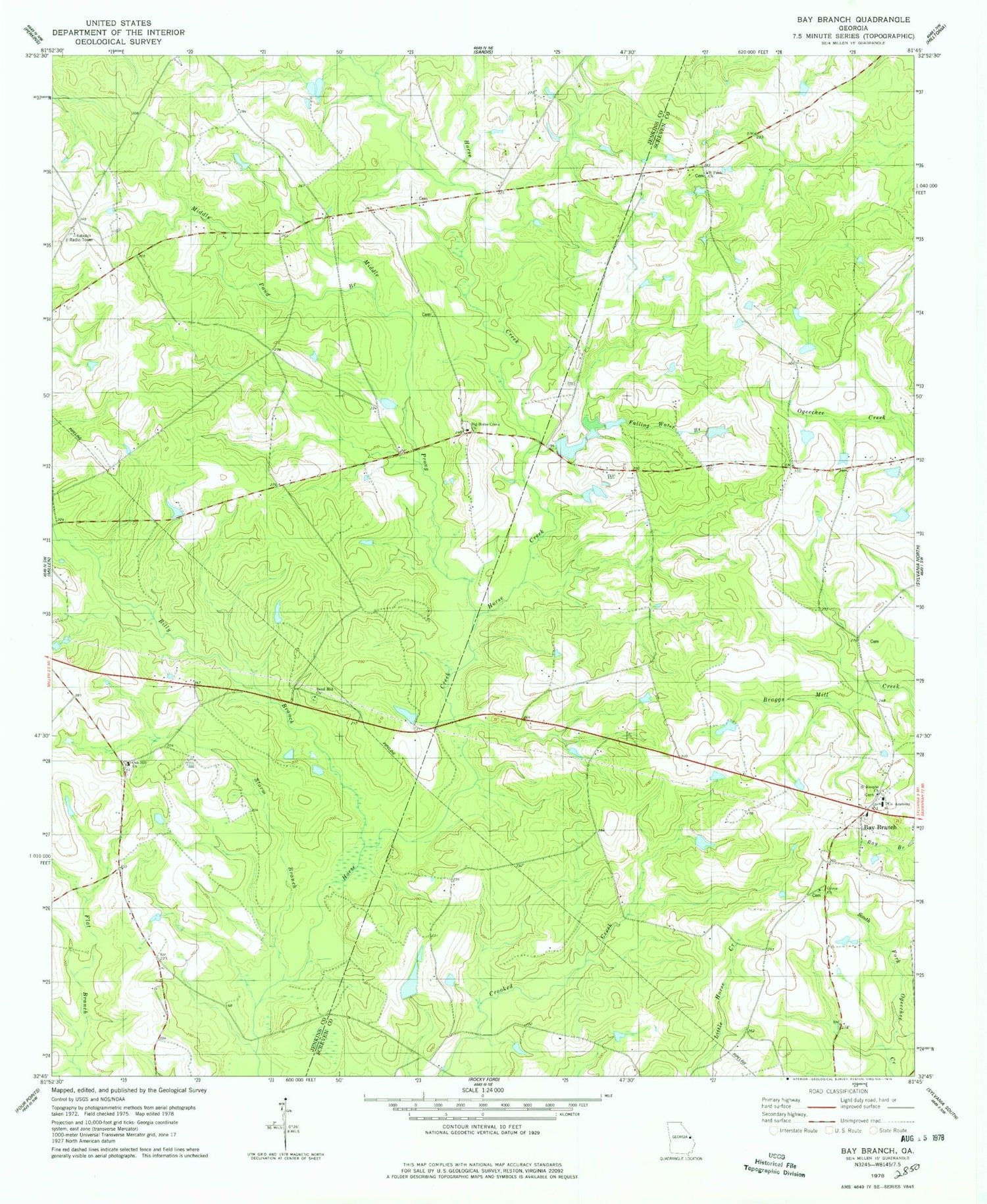
Classic USGS Bay Branch Georgia 7.5'x7.5' Topo Map
Couldn't load pickup availability
Historical USGS topographic quad map of Bay Branch in the state of Georgia. Typical map scale is 1:24,000, but may vary for certain years, if available. Print size: 24" x 27"
This quadrangle is in the following counties: Jenkins, Screven.
The map contains contour lines, roads, rivers, towns, and lakes. Printed on high-quality waterproof paper with UV fade-resistant inks, and shipped rolled.
Contains the following named places: Bay Branch, Big Horse Creek Church, Billy Branch, Co Academy, Falling Water Branch, Grove Church, Middle Pond, Middle Prong Horse Creek, Oak Hill Church, Saint Josephs Church, Saint Puals Church, Sand Hill Church, Storm Branch, Horse Creek School (historical), Oak Grove School (historical), Sand Hill School (historical), Bay Branch School (historical), Little Horse Creek School (historical), Pine Vale School (historical), Walker Academy (historical), Pierce Pond Dam, Pierce Pond, Pryor Pond Dam, Pryor Pond, Robert Grove Church, Saint Pauls Church, Screven County Fire Department Station 9


