MyTopo
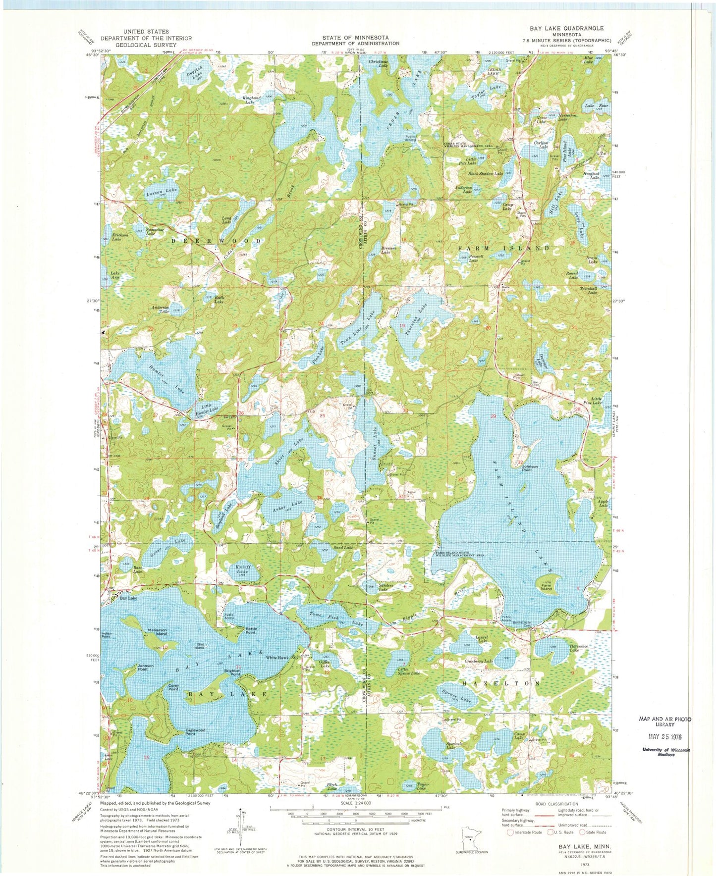
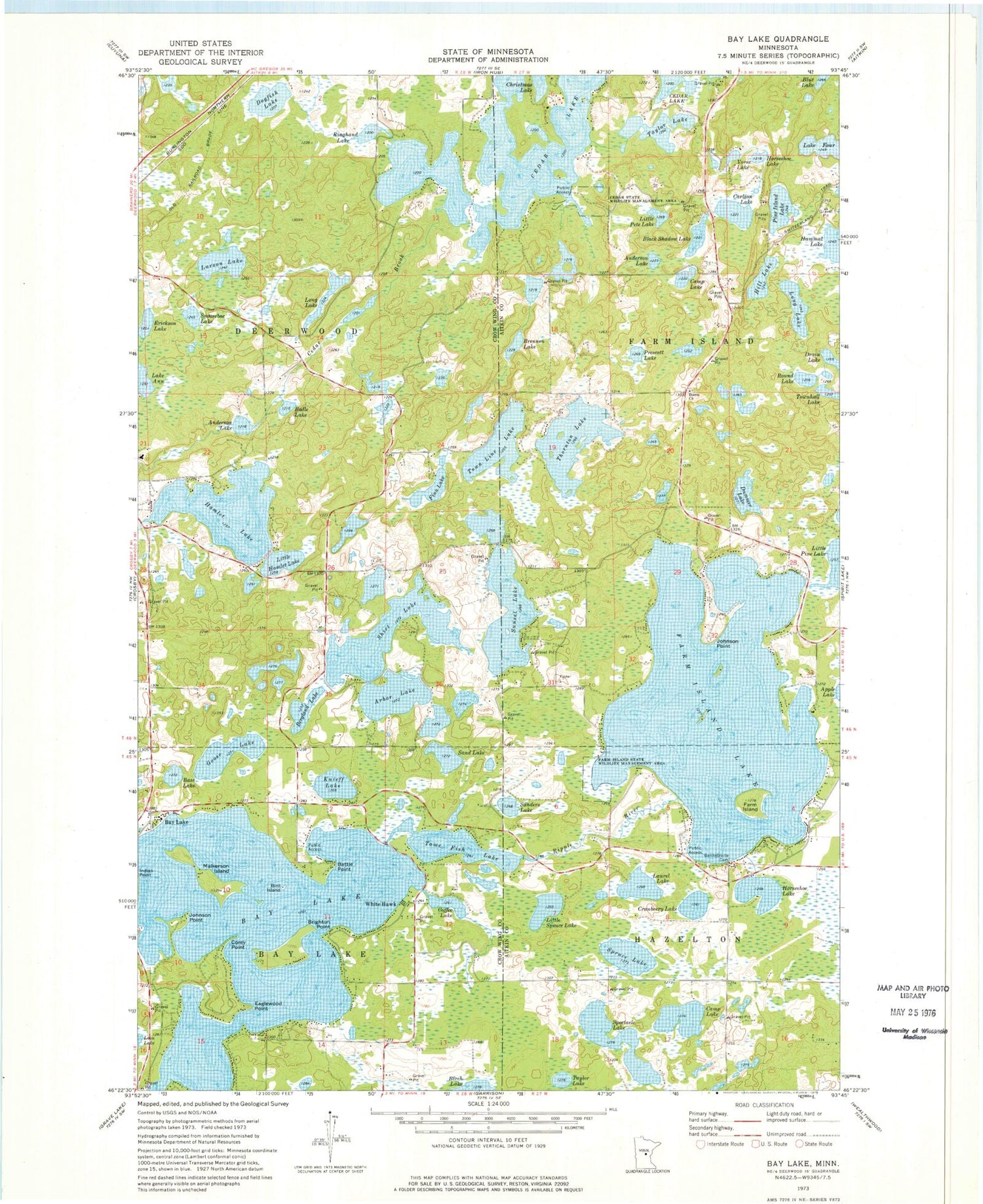
Classic USGS Bay Lake Minnesota 7.5'x7.5' Topo Map
Couldn't load pickup availability
Historical USGS topographic quad map of Bay Lake in the state of Minnesota. Typical map scale is 1:24,000, but may vary for certain years, if available. Print size: 24" x 27"
This quadrangle is in the following counties: Aitkin, Crow Wing.
The map contains contour lines, roads, rivers, towns, and lakes. Printed on high-quality waterproof paper with UV fade-resistant inks, and shipped rolled.
Contains the following named places: Anderson Lake, Anderson Lake, Arbor Lake, Bass Lake, Battle Point, Bay Lake, Bay Lake, Bennettville Cemetery, Berglund Lake, Bird Island, Black Shadow Lake, Bodle Lake, Brennen Lake, Brighton Point, Camp Lake, Camp Lake, Carlson Lake, Cedar Brook, Cedar State Wildlife Management Area, Christmas Lake, Coffee Lake, Corey Point, Cranberry Lake, Dogfish Lake, Dorris Church, Drain Lake, Dummer Lake, Eaglewood Point, Erickson Lake, Farm Island, Farm Island Lake, Farm Island State Wildlife Management Area, Finn Lake, Lake Four, Goose Lake, Hamlet Lake, Hill Lake, Horseshoe Lake, Horseshoe Lake, Johnson Point, Johnson Point, Knieff Lake, Larson Lake, Laurel Lake, Little Hamlet Lake, Little Pete Lake, Little Spruce Lake, Long Lake, Long Lake, Malkerson Island, Pine Island Lake, Prescott Lake, Ringhand Lake, Round Lake, Sand Lake, Sanders Lake, Shirt Lake, Snoosebox Lake, Spectacle Lake, Spruce Lake, Sunset Lake, Switzerland Trail, Tame Fish Lake, Taylor Lake, Taylor Lake, Thornton Lake, Town Line Lake, Townhall Lake, Vorse Lake, White Hawk, Sethney Personal Airport (historical), Birch Lake Seaplane Base, Township of Deerwood, Dorris Cemetery, Dorris Post Office (historical), Ruttger's Bay Lake Lodge: Alec's Nine Golf Course, Ruttger's Bay Lake Lodge: the Lakes Golf Course, Bay Lake Cemetery, Baylake Post Office (historical)


