MyTopo
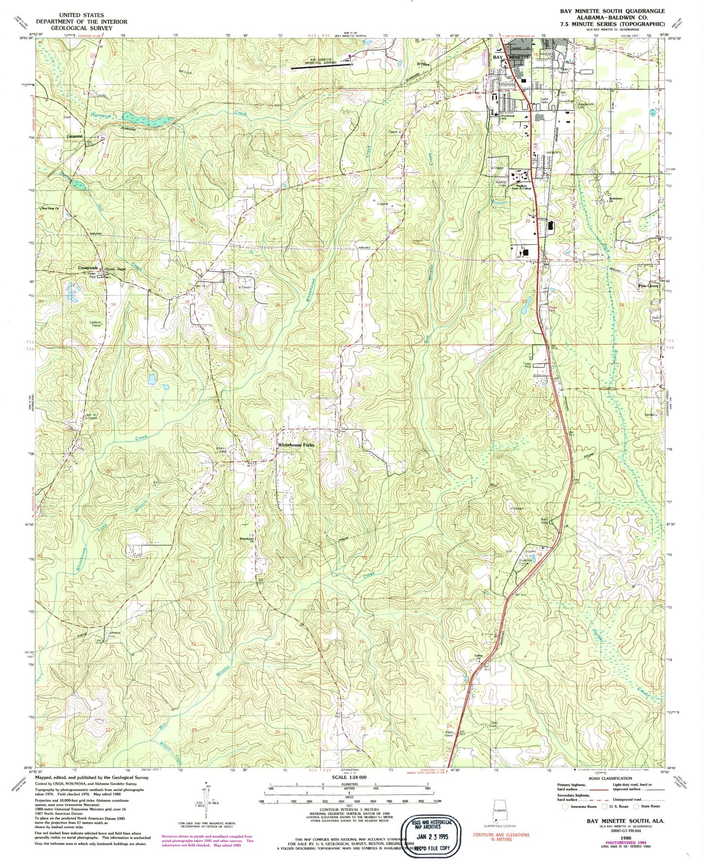
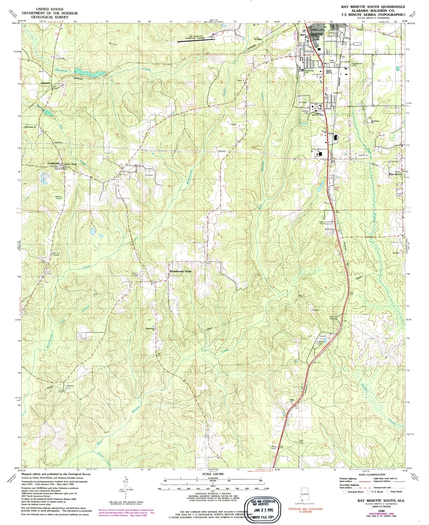
Classic USGS Bay Minette South Alabama 7.5'x7.5' Topo Map
Couldn't load pickup availability
Historical USGS topographic quad map of Bay Minette South in the state of Alabama. Map scale is 1:24000. Print size is approximately 24" x 27"
This quadrangle is in the following counties: Baldwin.
The map contains contour lines, roads, rivers, towns, and lakes. Printed on high-quality waterproof paper with UV fade-resistant inks, and shipped rolled.
Contains the following named places: Bay Minette Area Vocational School, Bay Minette Church of God in Christ, Bay Minette Commerce Park, Bay Minette Middle School, Bay Minette Municipal Airport, Bay Minette Transfer Station, Ben May Fire Tower, Bethlehem Church, Calvery Church, Carpenter, Cross Roads School, Crossroads, Crossroads Assembly of God Church, Crossroads Church, Crossroads Volunteer Fire Department, Dean Cemetery, Dickman Mobile Home Park, D'Olive, Douglasville, Douglasville High School (historical), Durant Chapel Baptist Church, Evangel Temple Church, Faulkner State Junior College, Full Power Holiness Church, Galilee Primitive Baptist Church, Gracelaine Shopping Center, Green Acres Baptist Church, Halls Mill (historical), Holly Hills, Holly Hills Country Club and Golf Course, Johnson Cemetery, Long Branch, McGhee Temple Church of God in Christ, Murray's Mobile Home Park, Mutual Aid Cemetery, New Hope Church, North Baldwin Emergency Medical Services, Oakwood Nursing Home, Old Charles Mobile Home Park, Pine Grove Church, Pine Grove Church, Pine Grove School, Pine Grove Volunteer Fire Department, Revelation Pentecostal Holiness Church, Saint Paul United Methodist Church, Spence Mobile Home Park, Stacey Lake, Stacey Lake Dam, Stapleton Cemetery, Stapleton Volunteer Fire Department, Trinity Chapel African Methodist Episcopal Church, Triumph Church, Union Baptist Church, Vangordon, WBCA-AM (Bay Minette), White House Fork Volunteer Fire Department, Whitehouse Church, Whitehouse Fork Church, Whitehouse Forks, Whitehouse Forks School, William F Green State Veterans Home, Wilson Creek, WWSM-FM (Bay Minette)


