MyTopo
Classic USGS Bay Springs Mississippi 7.5'x7.5' Topo Map
Couldn't load pickup availability
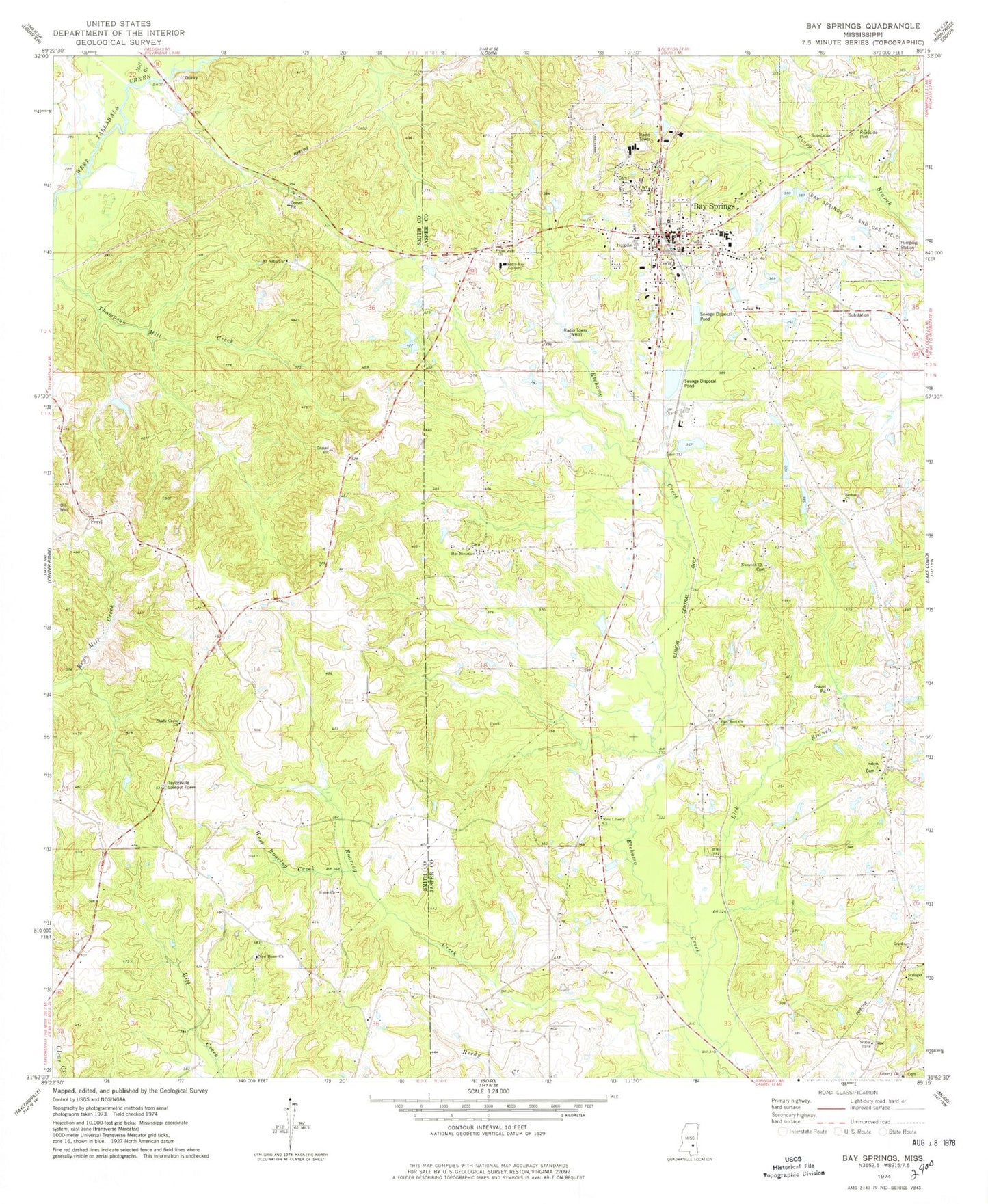
Historical USGS topographic quad map of Bay Springs in the state of Mississippi. Map scale may vary for some years, but is generally around 1:24,000. Print size is approximately 24" x 27"
This quadrangle is in the following counties: Jasper, Smith.
The map contains contour lines, roads, rivers, towns, and lakes. Printed on high-quality waterproof paper with UV fade-resistant inks, and shipped rolled.
Contains the following named places: Bay Springs, Bay Springs Baptist Church, Bay Springs Cemetery, Bay Springs Church of Christ, Bay Springs Elementary School, Bay Springs Fire Department, Bay Springs High School, Bay Springs Lagoon Dam, Bay Springs Methodist Church, Bay Springs Middle School, Bay Springs Oil and Gas Field, Bay Springs Police Department, Bay Springs Post Office, Bay Springs Presbyterian Church, Bethany Church, Big Creek Watershed Structure 2 Dam, Blue Mountain Church, City of Bay Springs, Etchehoma, Ford, Georgia Pacific Lake Dam, Jasper County Sheriff's Office, Jasper General Hospital, Johnston Lake Dam, Liberty Church, Lick Branch, McCraw Cemetery, Mill Branch, Mount Nebo Church, Nazareth Church, New Home Church, New Liberty Church, New Zion Cemetery, New Zion Missionary Baptist Church, Salem Baptist Church, Shady Grove Church, Stringer Church, Supervisor District 2, Supervisor District 4, Sylva-Bay Academy, Taylorsville Lookout Tower, Union Church, West Roaring Creek, WHII-AM (Bay Springs), WXIY-FM (Bay Springs), Zion Rest Church, ZIP Code: 39422