MyTopo
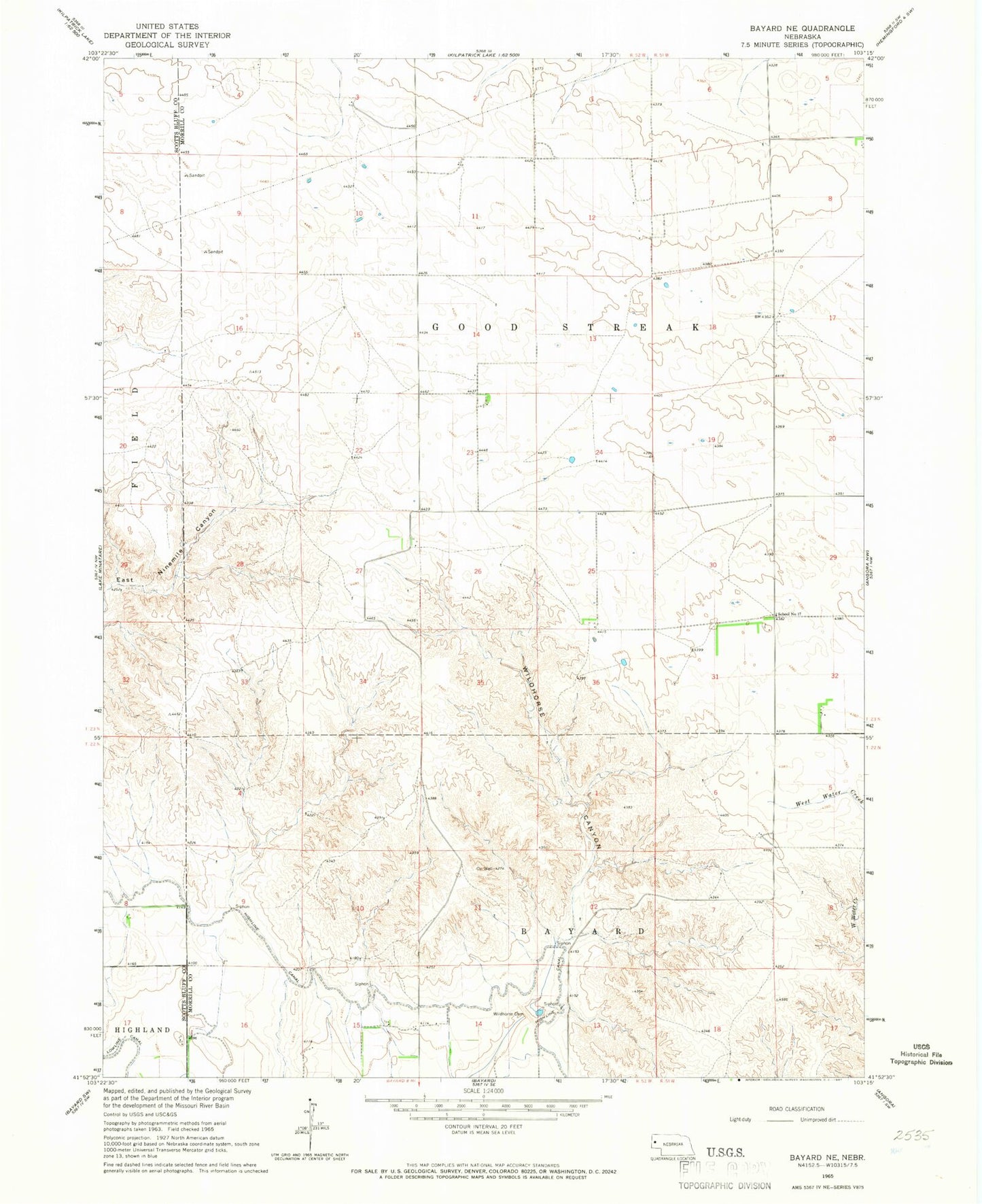
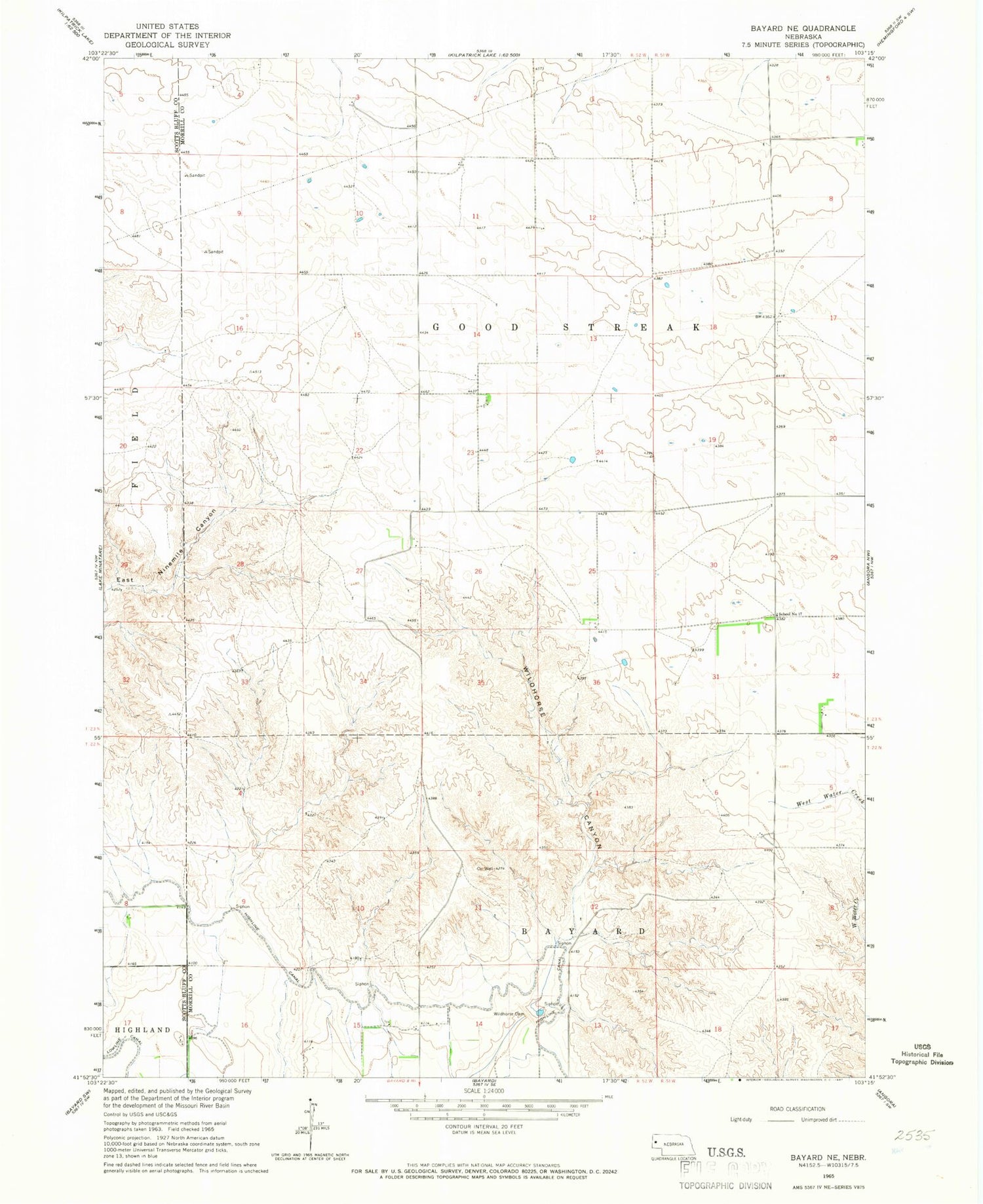
Classic USGS Bayard NE Nebraska 7.5'x7.5' Topo Map
Regular price
$16.95
Regular price
Sale price
$16.95
Unit price
per
Couldn't load pickup availability
Historical USGS topographic quad map of Bayard NE in the state of Nebraska. Map scale may vary for some years, but is generally around 1:24,000. Print size is approximately 24" x 27"
This quadrangle is in the following counties: Morrill, Scotts Bluff.
The map contains contour lines, roads, rivers, towns, and lakes. Printed on high-quality waterproof paper with UV fade-resistant inks, and shipped rolled.
Contains the following named places: Funk Dam, Funk Reservoir, Highline Canal, Ross Canyon Dam, Ross Canyon Reservoir, School Number 17, West Bayard Election Precinct, Wildhorse Dam, Wildhorse Dam 9-A, Wildhorse Reservoir 9-A