MyTopo
Classic USGS Bayard SW Nebraska 7.5'x7.5' Topo Map
Regular price
$16.95
Regular price
Sale price
$16.95
Unit price
per
Couldn't load pickup availability
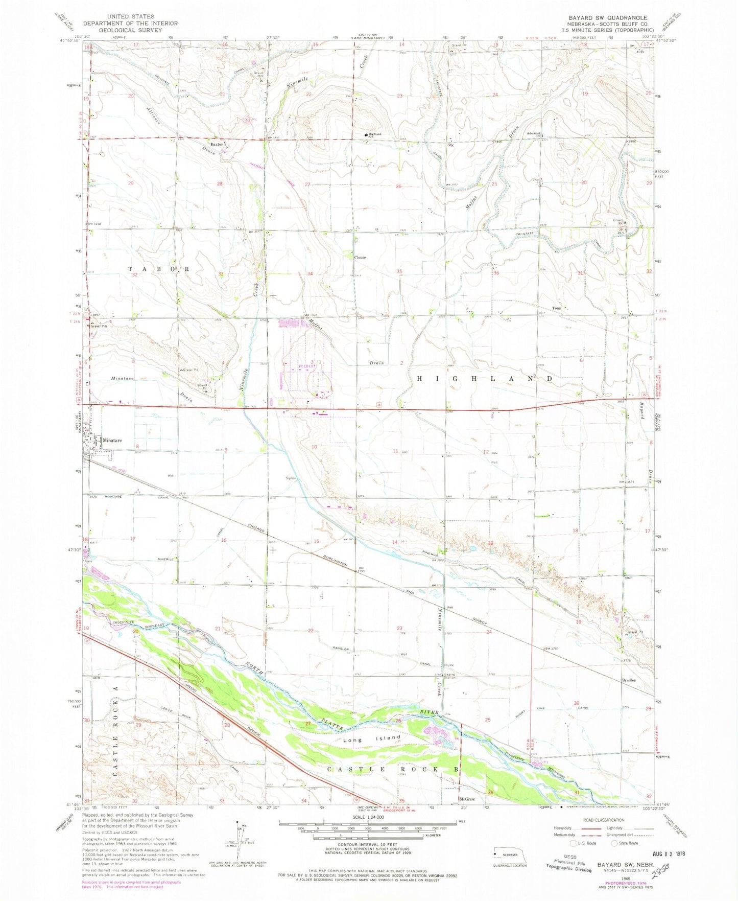
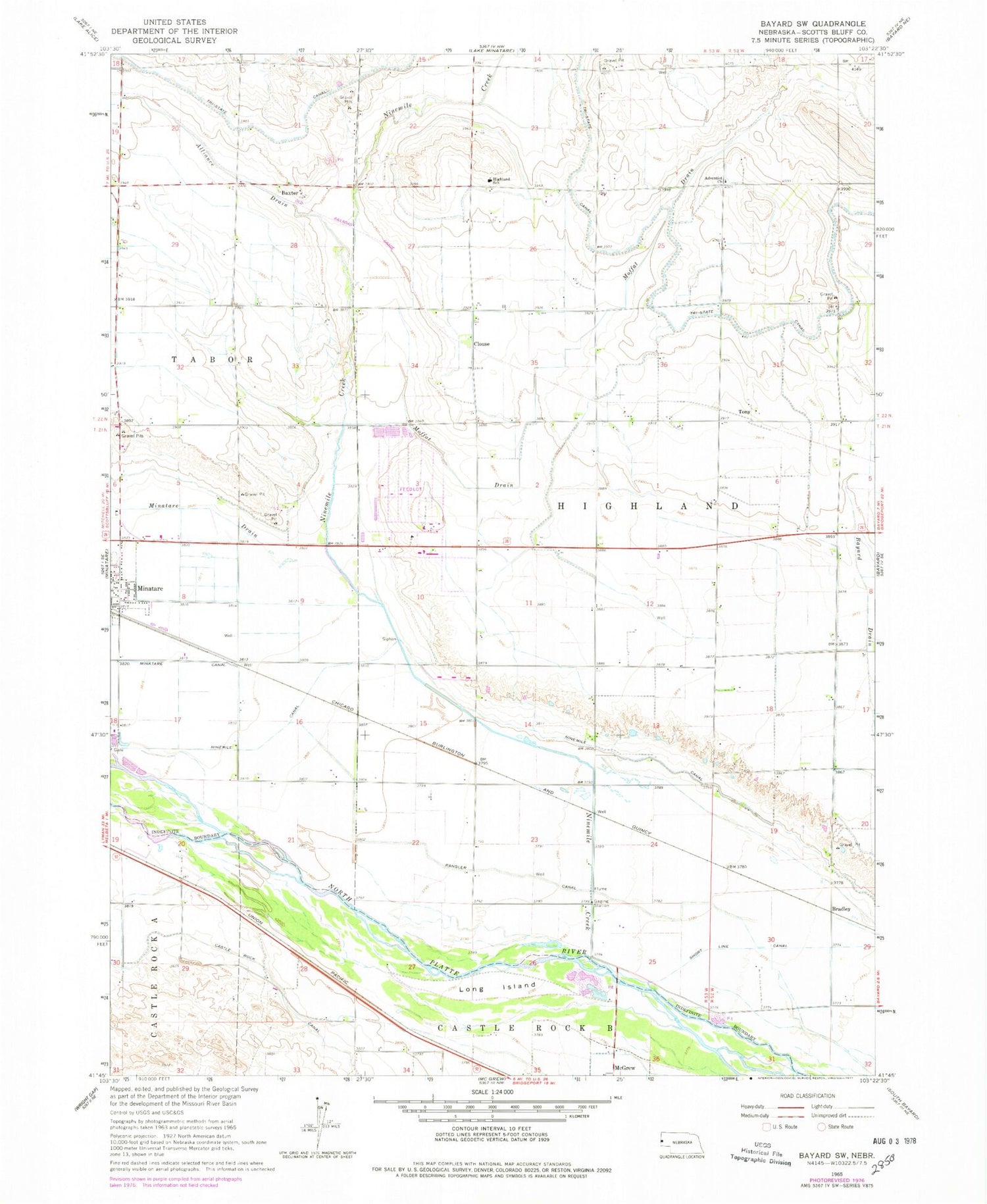
Historical USGS topographic quad map of Bayard SW in the state of Nebraska. Map scale may vary for some years, but is generally around 1:24,000. Print size is approximately 24" x 27"
This quadrangle is in the following counties: Scotts Bluff.
The map contains contour lines, roads, rivers, towns, and lakes. Printed on high-quality waterproof paper with UV fade-resistant inks, and shipped rolled.
Contains the following named places: Adventist Church, Alliance Drain, Bastron Lake, Baxter, Baxter Post Office, Bayard Drain, Bradley, Castle Rock Canal, Harrys RV Park, Highland School, Long Island, Minatare Canal, Minatare Drain, Moffat Drain, Ninemile Channel, Ninemile Creek, Rangler Canal, Tony