MyTopo
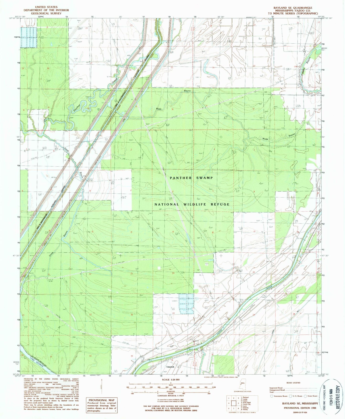
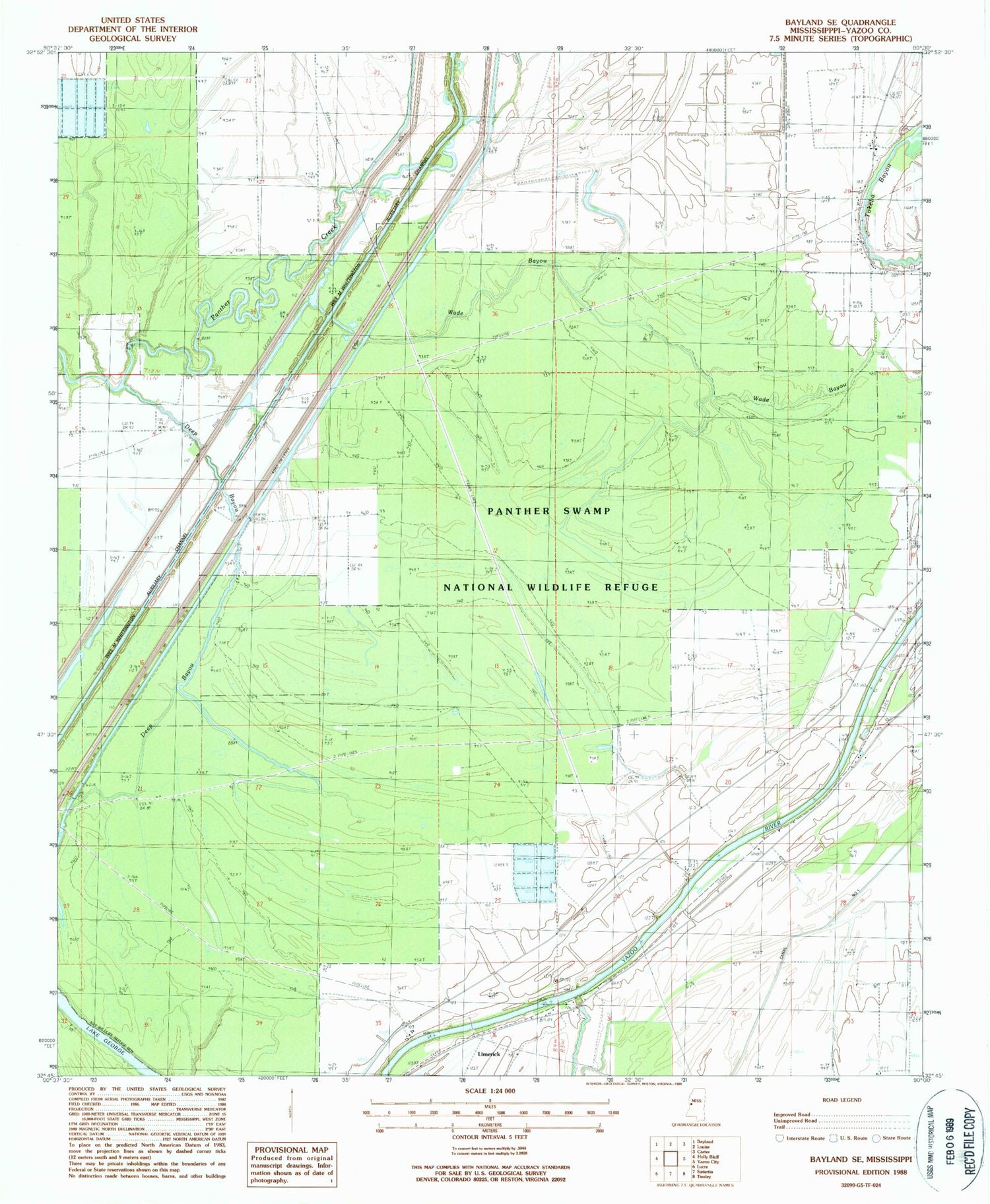
Classic USGS Bayland SE Mississippi 7.5'x7.5' Topo Map
Couldn't load pickup availability
Historical USGS topographic quad map of Bayland SE in the state of Mississippi. Typical map scale is 1:24,000, but may vary for certain years, if available. Print size: 24" x 27"
This quadrangle is in the following counties: Yazoo.
The map contains contour lines, roads, rivers, towns, and lakes. Printed on high-quality waterproof paper with UV fade-resistant inks, and shipped rolled.
Contains the following named places: Mount Olive Church, Banks Cemetery, Battaille School, Deep Bayou, John Roberson Cemetery, Mayday Cemetery, New Paradise Church, Oak Valley Cemetery, Triune Church, Wade Bayou, Willowdale Landing, Limerick, Lake George, Supervisor District 5, Panther Swamp National Wildlife Refuge, Avoca Landing, Haw Bluff Landing, Joes Walk Landing, Limericks Landing, Oak Valley Landing, Pauls Landing, Ratcliffs Landing, Rough and Ready Landing, Sherrards Old Landing, Twelve Mile Bayou Landing


