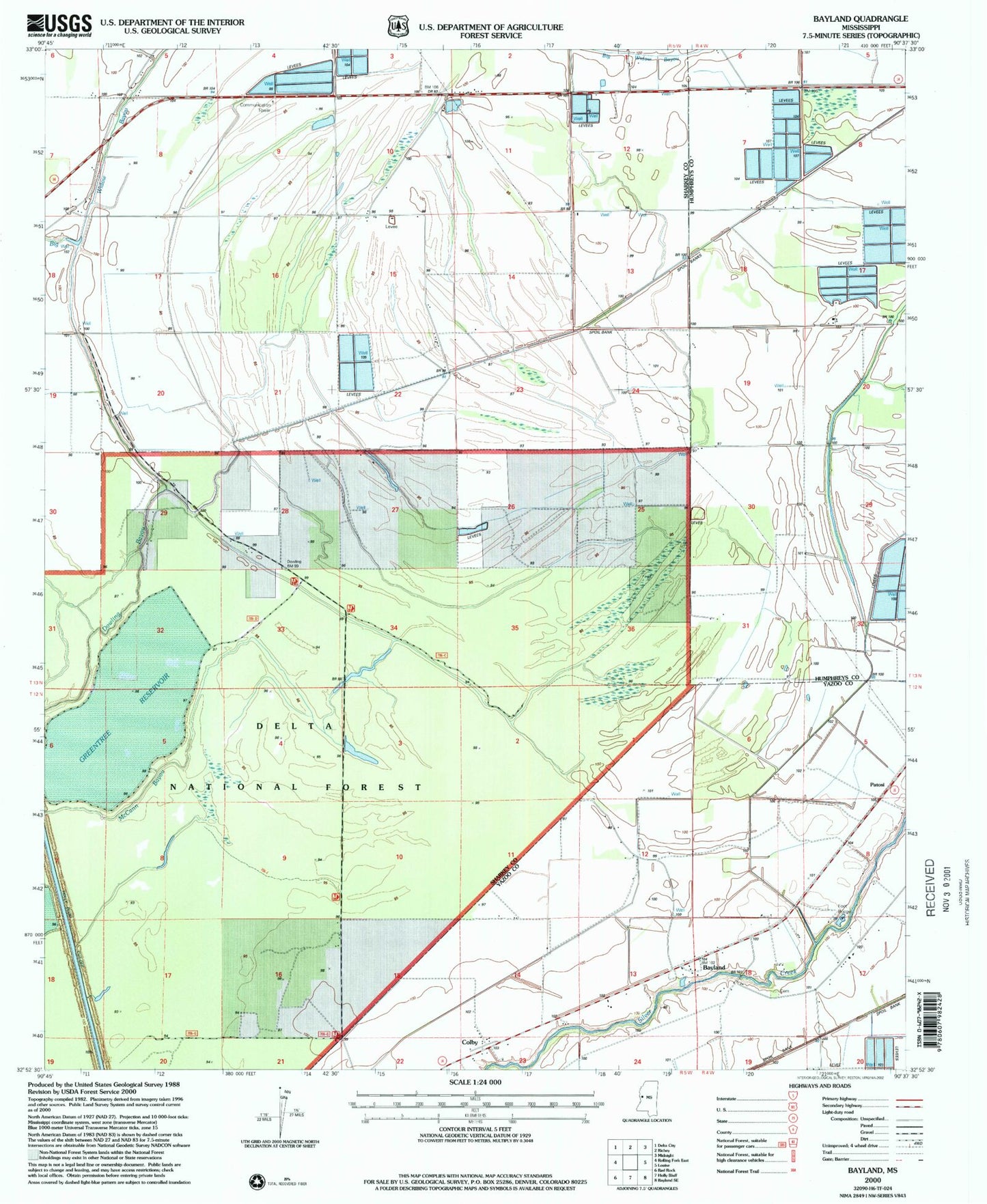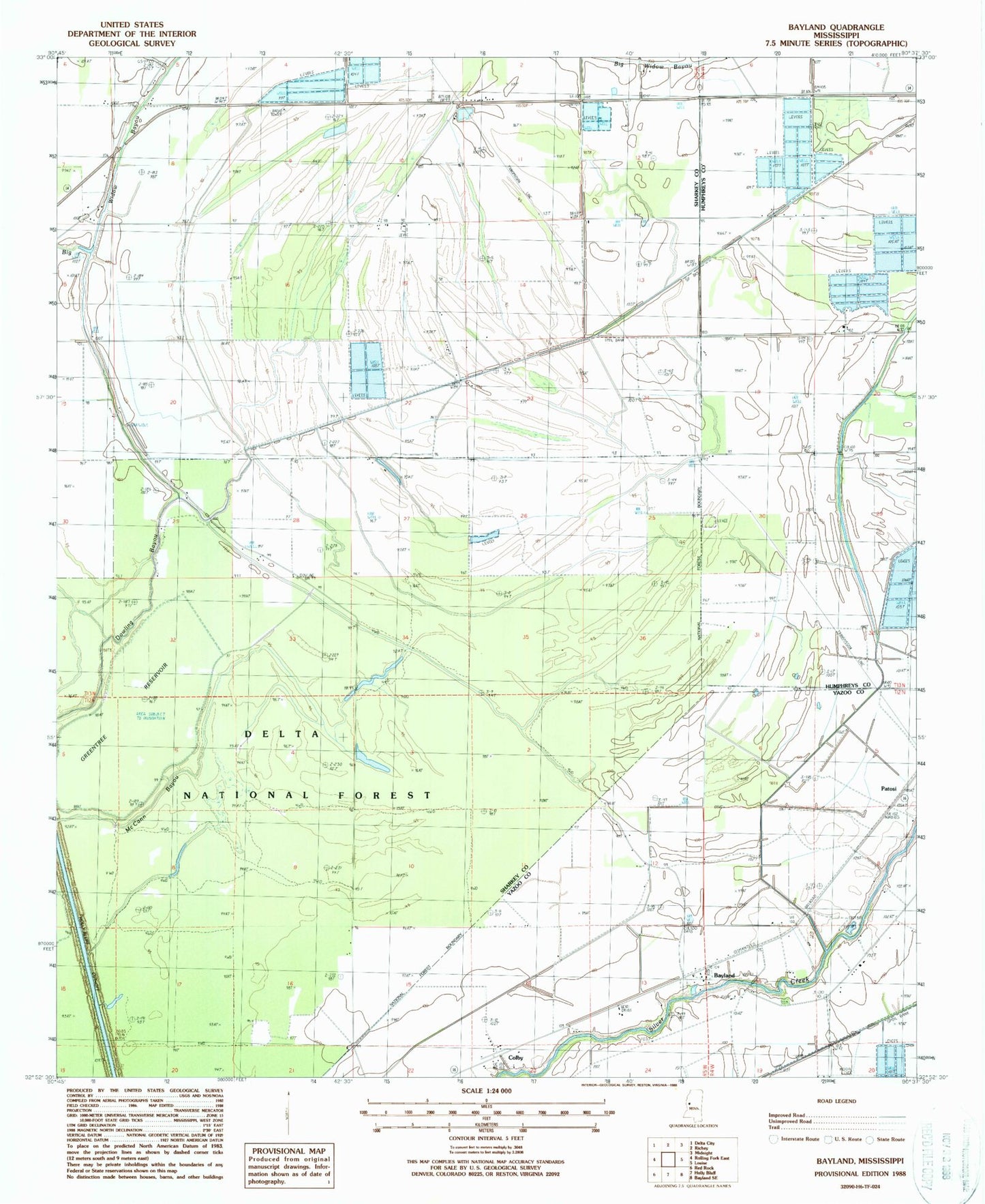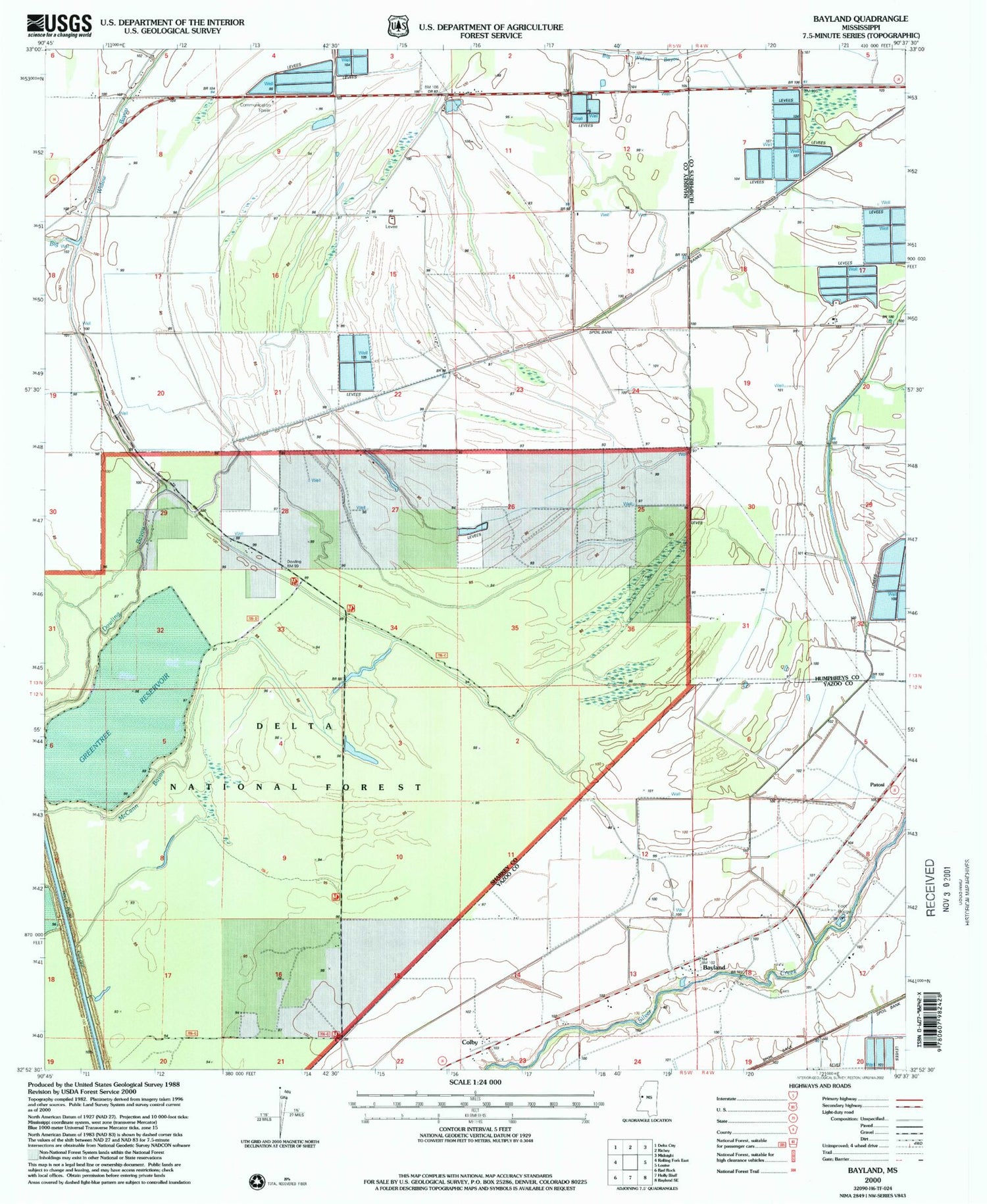

MyTopo
Classic USGS Bayland Mississippi 7.5'x7.5' Topo Map
Regular price
$16.95
Regular price
Sale price
$16.95
Unit price
per
Couldn't load pickup availability
Historical USGS topographic quad map of Bayland in the state of Mississippi. Map scale may vary for some years, but is generally around 1:24,000. Print size is approximately 24" x 27"
This quadrangle is in the following counties: Humphreys, Sharkey, Yazoo.
The map contains contour lines, roads, rivers, towns, and lakes. Printed on high-quality waterproof paper with UV fade-resistant inks, and shipped rolled.
Contains the following named places: Bayland, Colby, Dowling Bayou, Hollands, Holly Bluff Cut-Off, McCann Bayou, New Foundation Church, New Hope Church, Prices Chapel, Theodore Roosevelt National Wildlife Refuge, True Light Church, Valley Home Cemetery, W H Hodnett Catfish Ponds Dam, ZIP Code: 38721