
MyTopo
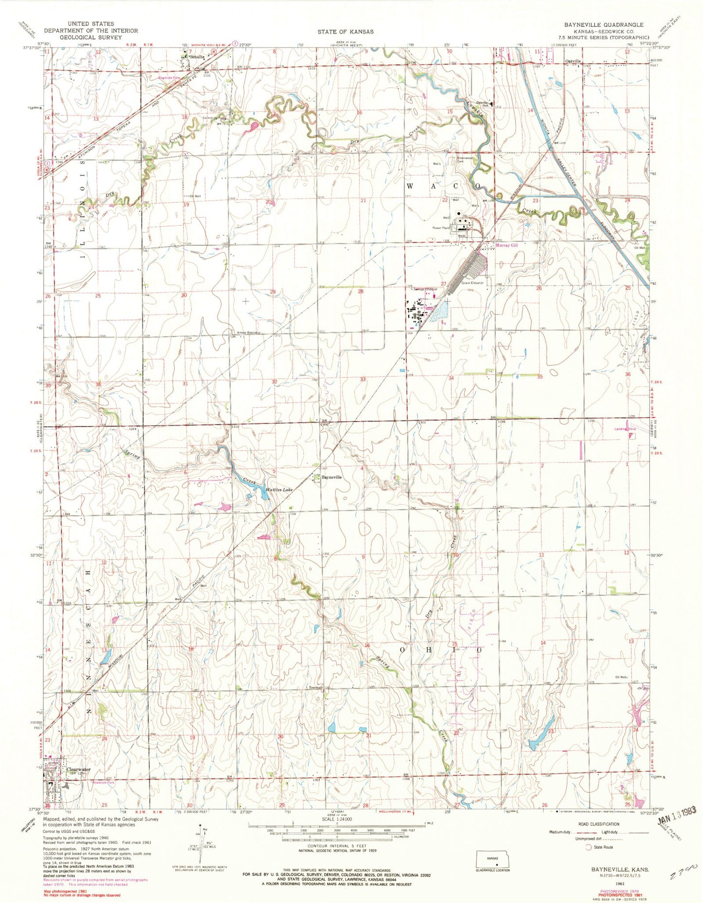
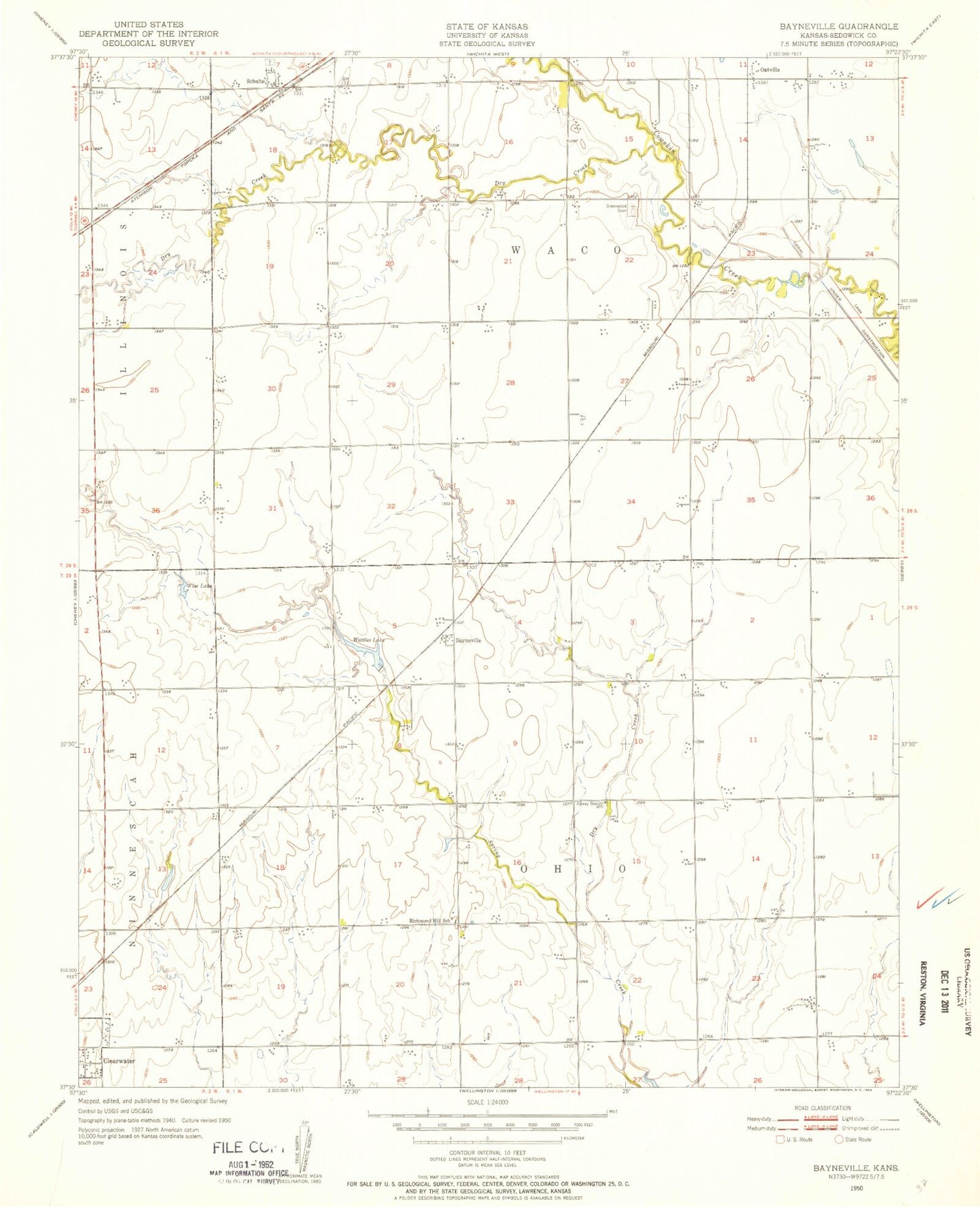
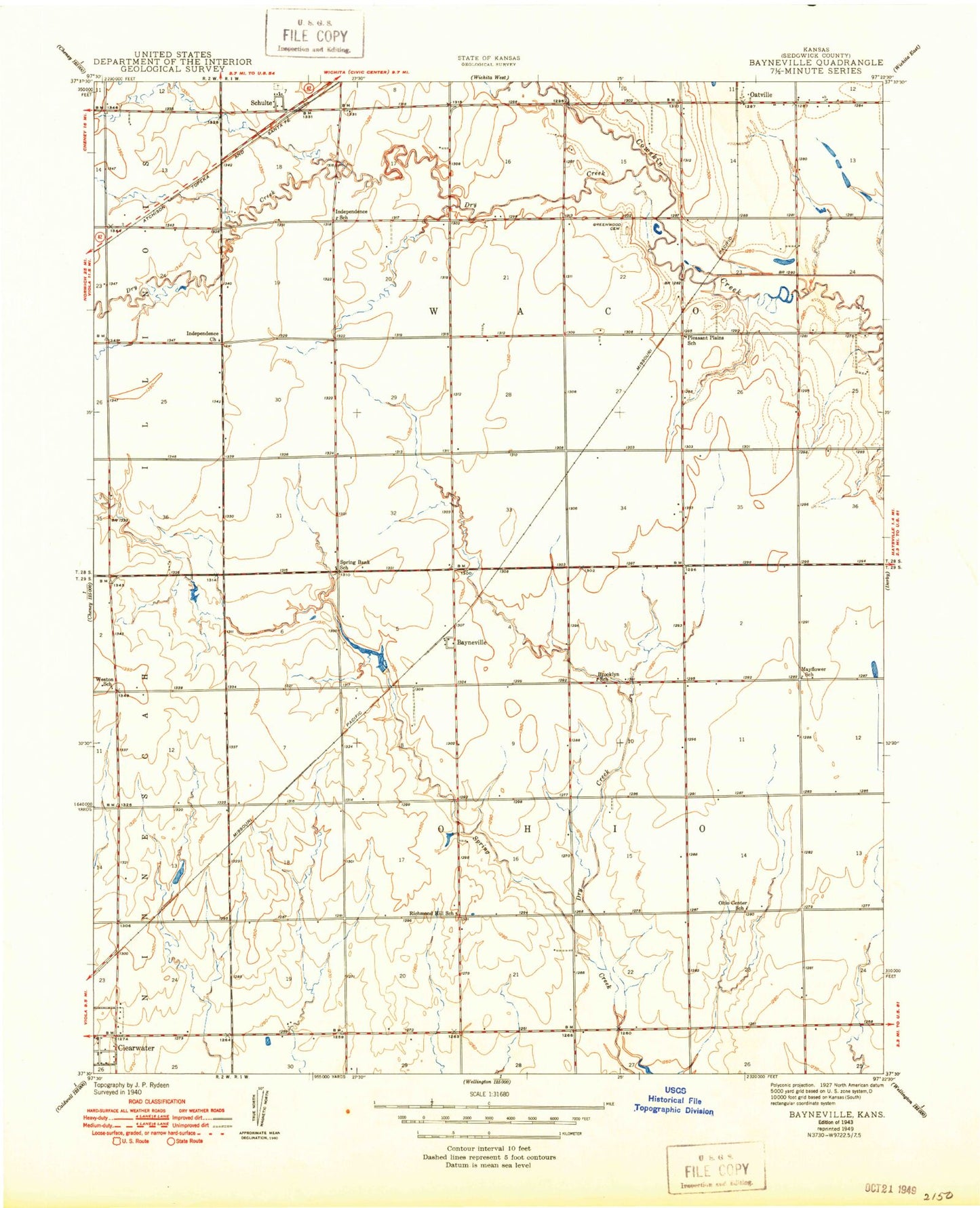
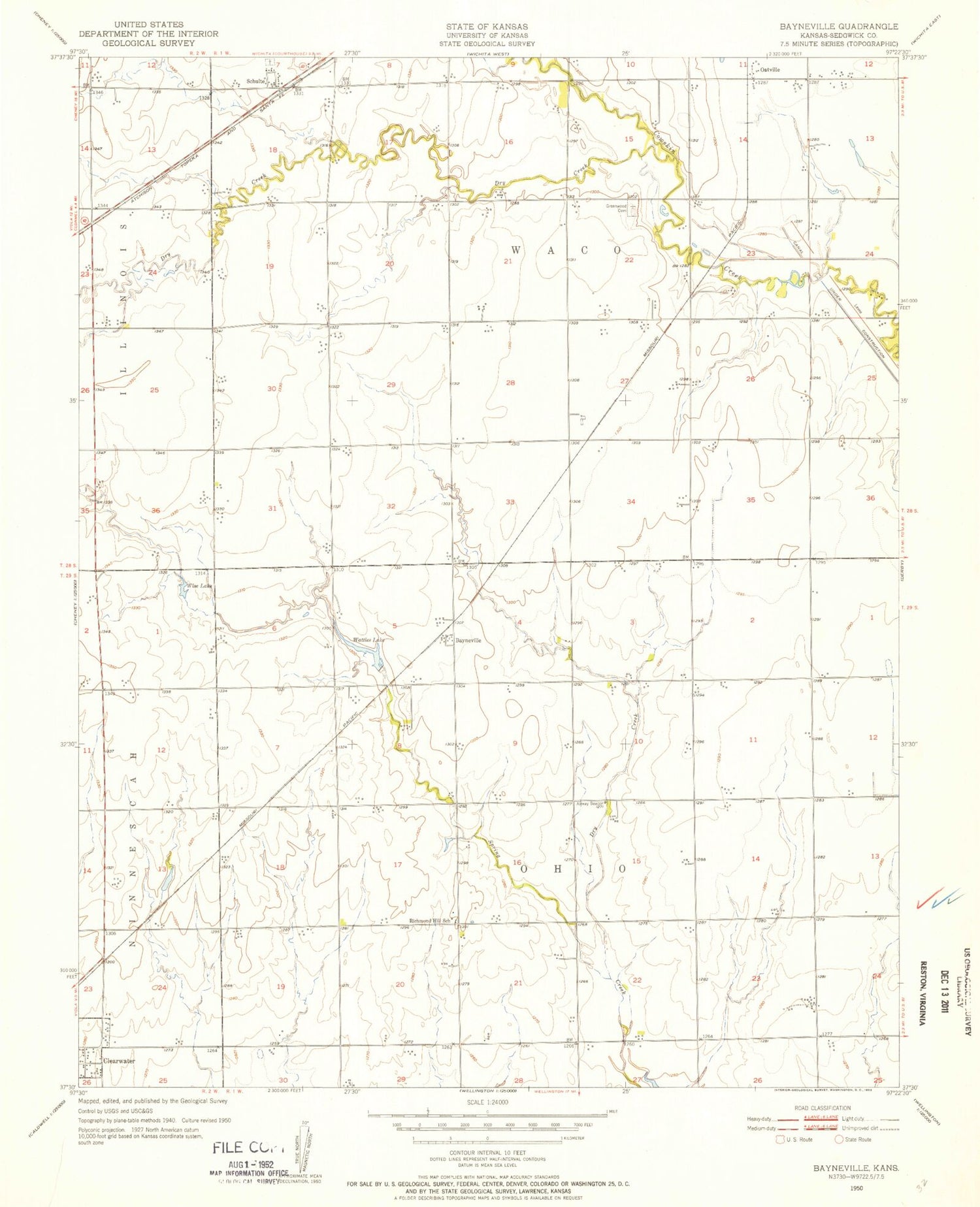
Classic USGS Bayneville Kansas 7.5'x7.5' Topo Map
Couldn't load pickup availability
Historical USGS topographic quad map of Bayneville in the state of Kansas. Map scale may vary for some years, but is generally around 1:24,000. Print size is approximately 24" x 27"
This quadrangle is in the following counties: Sedgwick.
The map contains contour lines, roads, rivers, towns, and lakes. Printed on high-quality waterproof paper with UV fade-resistant inks, and shipped rolled.
Contains the following named places: Bayneville, Brooklyn School, Church of the Nazarene, City of Clearwater, Clearwater Business Park, Clearwater Elementary East School, Clearwater Evangelical Free Church, Clearwater High School, Clearwater Historical Society Museum, Clearwater Intermediate Center, Clearwater Middle School, Clearwater Post Office, Clearwater Retirement Community I Nursing Home, Clearwater Retirement Community Village Assisted Living Facility, Clearwater Water Tower, Cottonwood Grove Mobile Home Park, Dry Creek, Foursquare Gospel Church, Garvey Industrial Park, Greenwood Cemetery, Haysville High School, Haysville West Middle School, Hope Community Baptist Church, Independence Church, Independence School, Mason Airport, Mayflower School, Mid Continent Industrial Park I, Murray Gill, Northwest Church of God, Oatville, Oatville Elementary School, Ohio Center, Ohio Center School, Pleasant Plains School, Resurrection Lutheran Church, Richmond Hill School, Rucker Airport, Saint Peters Cemetery, Schulte, Schulte Industrial Park, Second Addition Mobile Home Park, Spring Bank School, The River Valley Community Church, Township of Ohio, Township of Waco, Wattles Lake, Weston School, Wise Lake, ZIP Codes: 67026, 67215