MyTopo
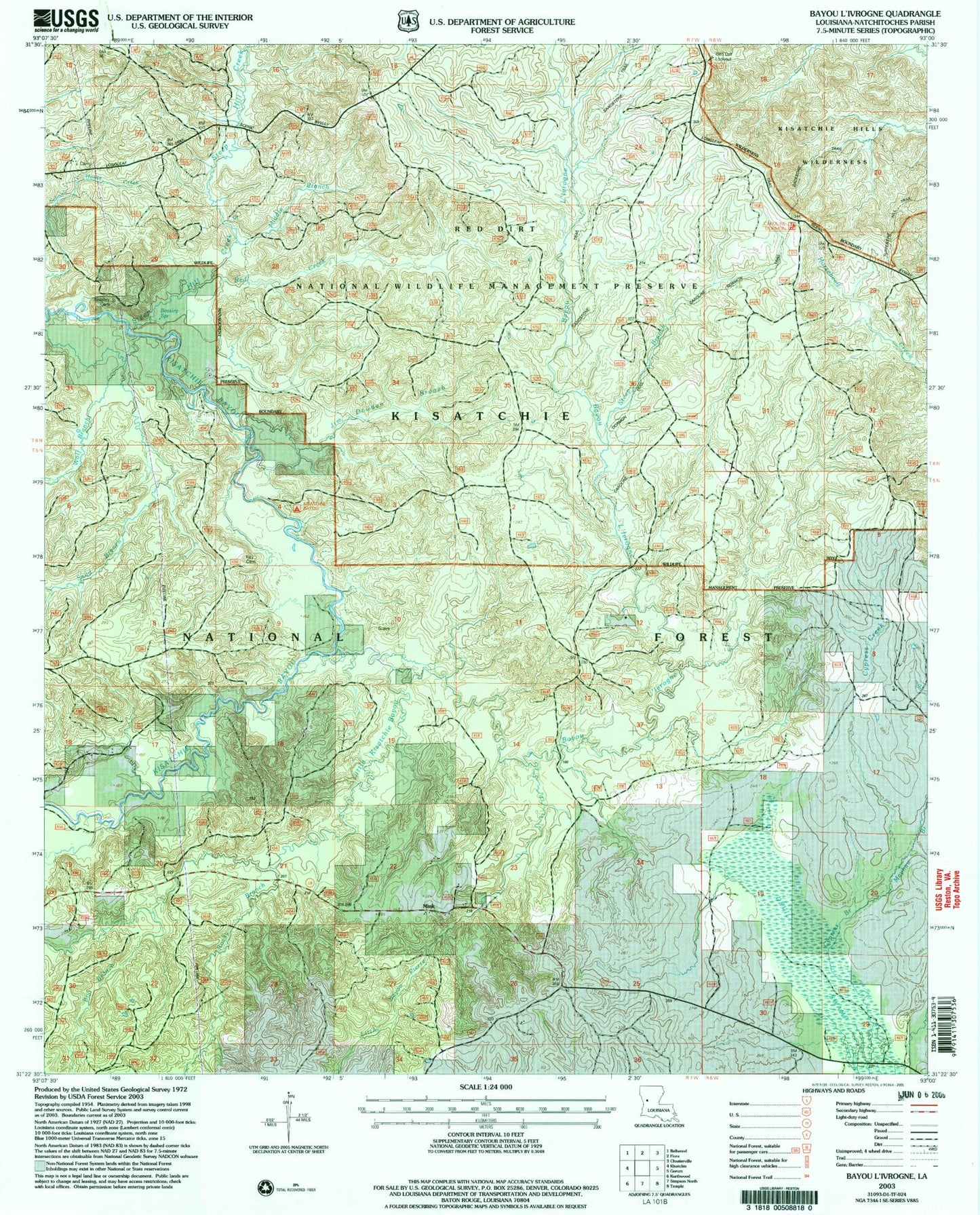
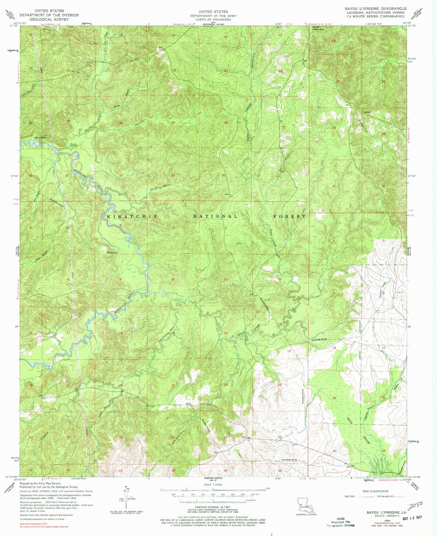
Classic USGS Bayou Livrogne Louisiana 7.5'x7.5' Topo Map
Couldn't load pickup availability
Historical USGS topographic quad map of Bayou Livrogne in the state of Louisiana. Typical map scale is 1:24,000, but may vary for certain years, if available. Print size: 24" x 27"
This quadrangle is in the following counties: Natchitoches.
The map contains contour lines, roads, rivers, towns, and lakes. Printed on high-quality waterproof paper with UV fade-resistant inks, and shipped rolled.
Contains the following named places: Bayou L'Ivrogne, Beasley Cemetery, Beasley Spring, Big Branch, Key Cemetery, Little Kisatchie Bayou, Mayhaw Branch, Middle Branch, Mink, Red Creek, Rocky Branch, Sand Branch, Steep Hill Creek, Wolf Branch, Red Dirt National Wildlife Management Area, Kisatchie Bayou Campground, Moss Branch, New Hope School (historical), Cypress Creek, Devil Swamp, Little Bayou Pierre, Steep Branch, Bedstead Hill, Pole Creek, Jim Dowden Branch, Red Dirt Lookout Tower