
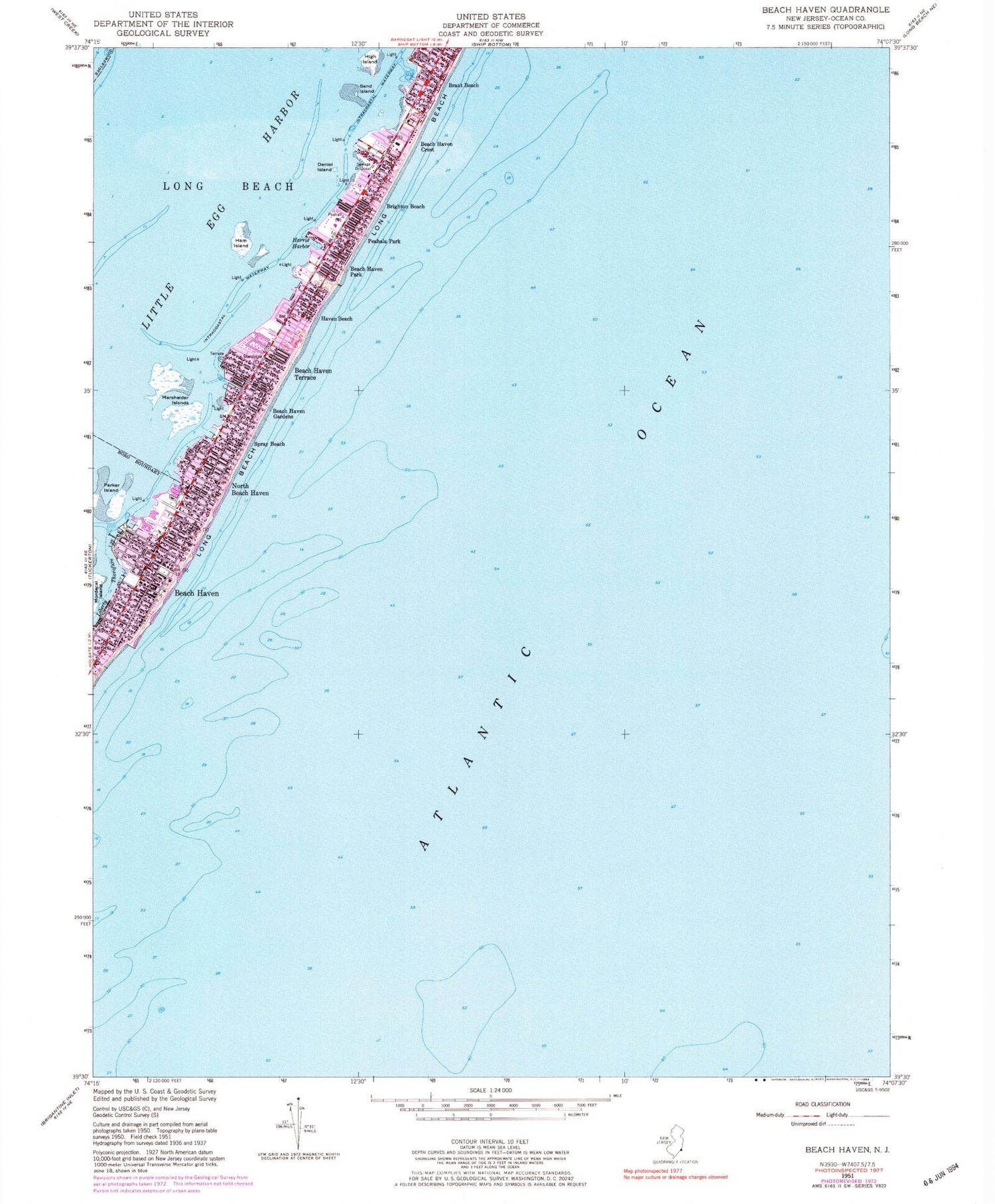
MyTopo
Classic USGS Beach Haven New Jersey 7.5'x7.5' Topo Map
Couldn't load pickup availability
Historical USGS topographic quad map of Beach Haven in the state of New Jersey. Map scale may vary for some years, but is generally around 1:24,000. Print size is approximately 24" x 27"
This quadrangle is in the following counties: Ocean.
The map contains contour lines, roads, rivers, towns, and lakes. Printed on high-quality waterproof paper with UV fade-resistant inks, and shipped rolled.
Contains the following named places: Beach Haven, Beach Haven Crest, Beach Haven Elementary School, Beach Haven First Aid Squad, Beach Haven Gardens, Beach Haven Inlet, Beach Haven Park, Beach Haven Police Department, Beach Haven Post Office, Beach Haven Terrace, Beach Haven Volunteer Fire Company 1, Borough of Beach Haven, Brant Beach, Brighton Beach, Daniel Island, Ham Island, Harris Harbor, Haven Beach, High Island, Liberty Thorofare, Long Beach Post Office, Long Beach Township Police Department, Marshelder Islands, North Beach Haven, North Beach Haven Census Designated Place, Parker Island, Peahala Park, Sand Island, Spray Beach, The Dunes, Township of Long Beach


