MyTopo
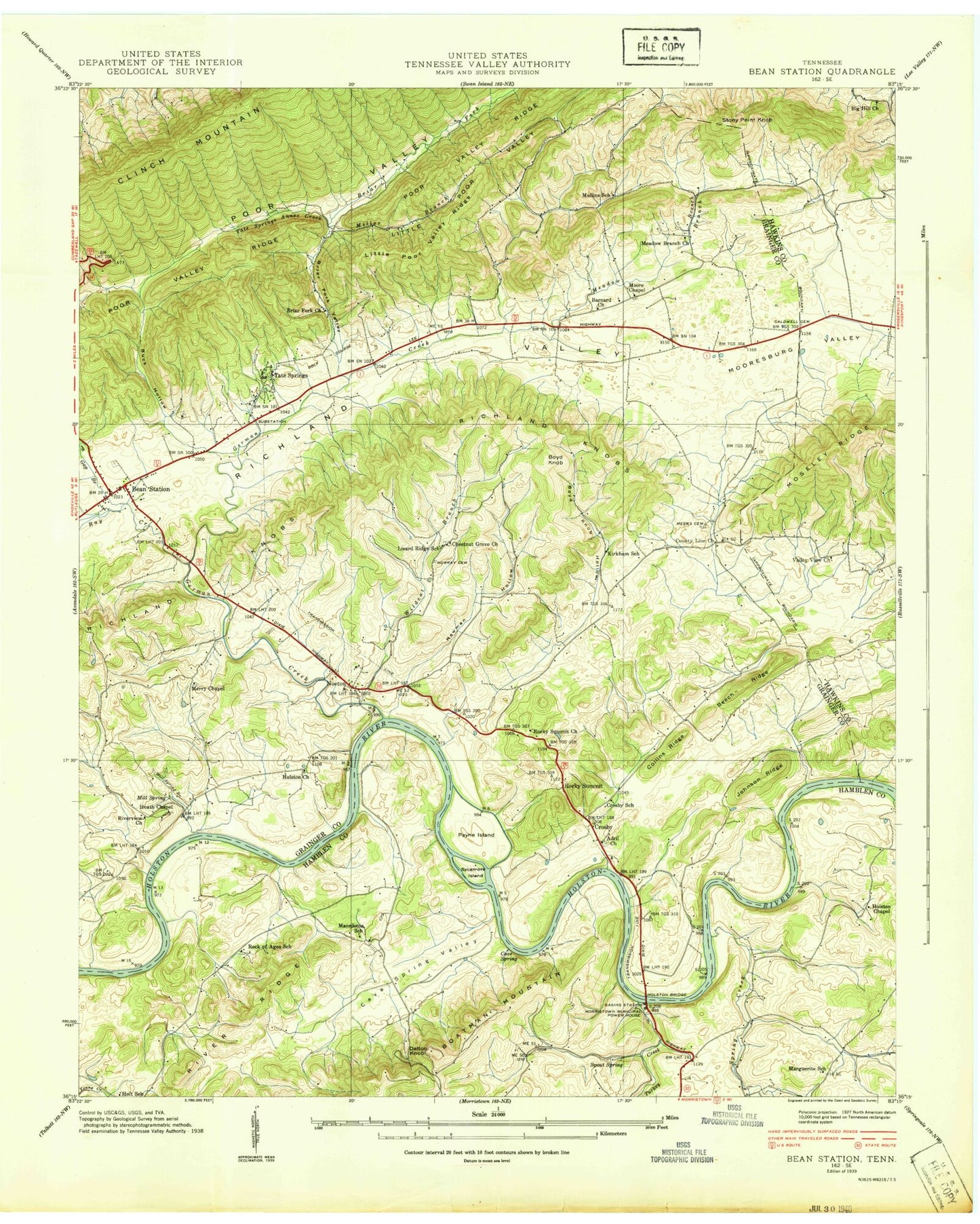
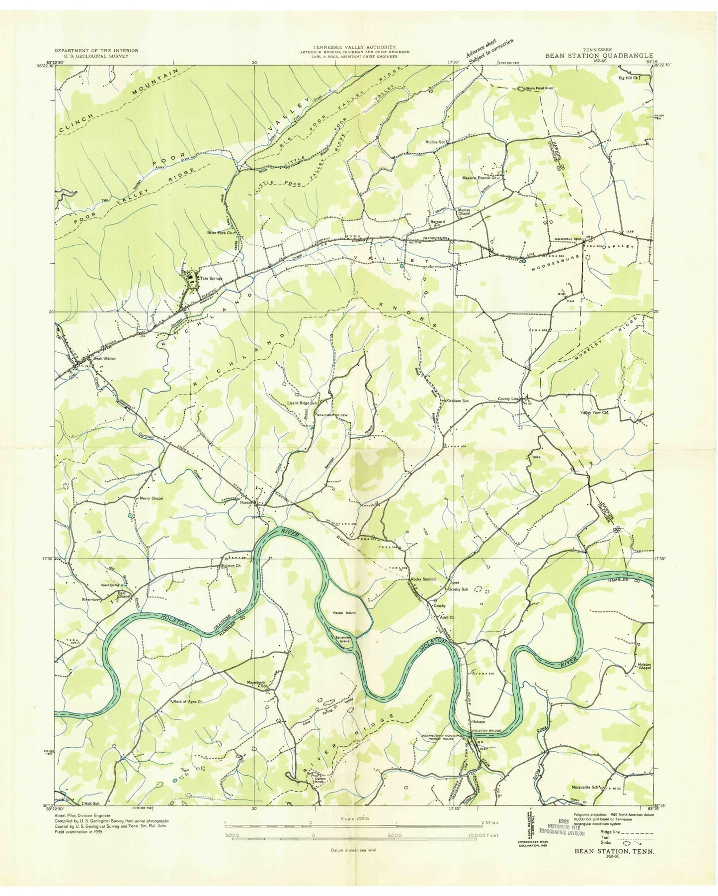
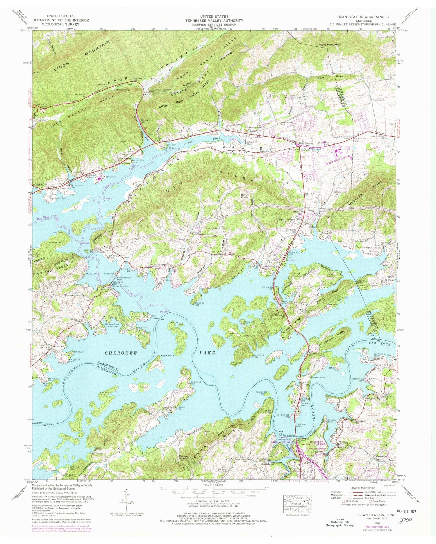
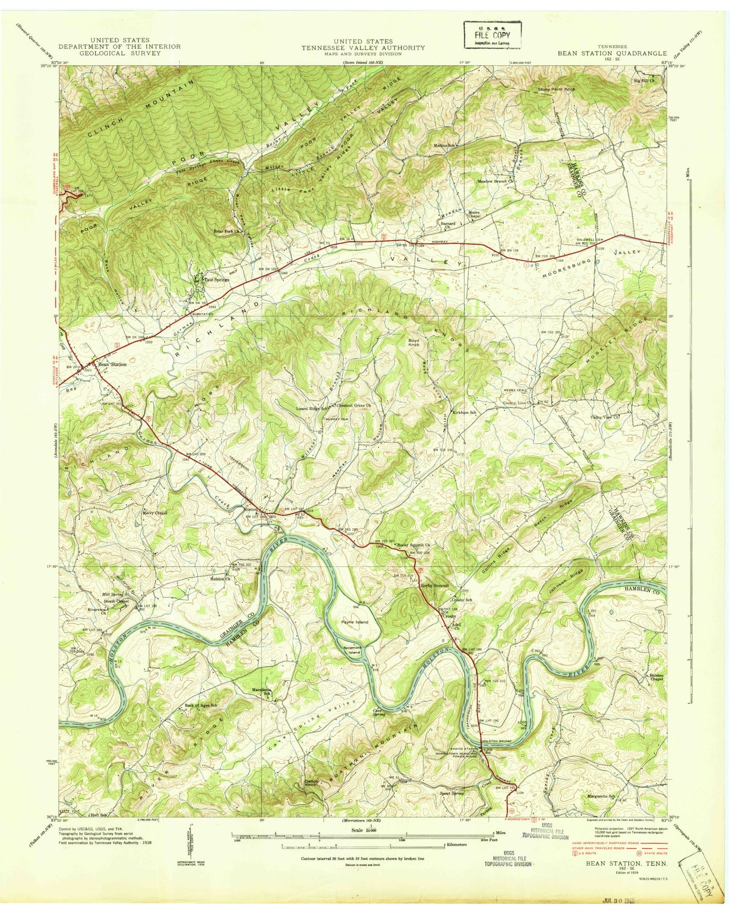
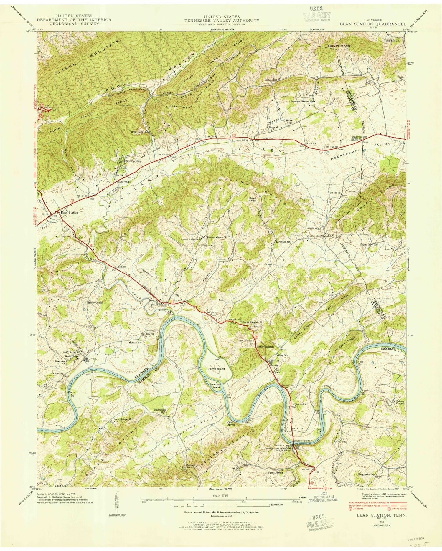
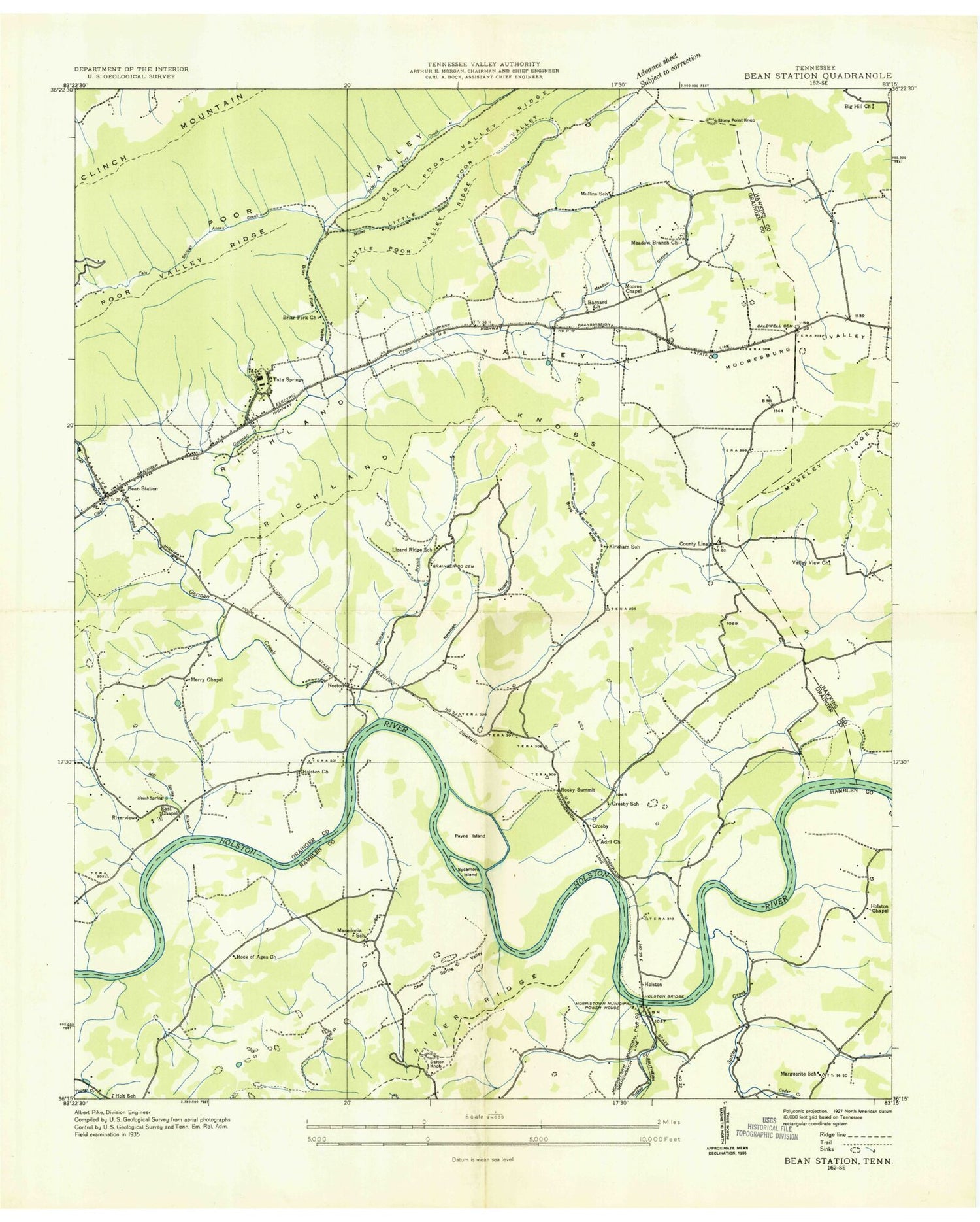
Classic USGS Bean Station Tennessee 7.5'x7.5' Topo Map
Couldn't load pickup availability
Historical USGS topographic quad map of Bean Station in the state of Tennessee. Map scale is 1:24000. Print size is approximately 24" x 27"
This quadrangle is in the following counties: Grainger, Hamblen, Hawkins.
The map contains contour lines, roads, rivers, towns, and lakes. Printed on high-quality waterproof paper with UV fade-resistant inks, and shipped rolled.
Contains the following named places: Adriel Church, Adriel Church, Adril Church (historical), Annex Creek, Annex Creek, Annex Spring, Annex Spring, Barnards Grove Church, Barnards Grove Church, Bean Station, Bean Station, Bean Station Cemetery, Bean Station Cemetery, Bean Station Cemetery, Bean Station Church, Bean Station Church, Bean Station Division (historical), Bean Station Elementary School, Bean Station Police Department, Bean Station Post Office, Bean Station Volunteer Fire Department, Beans, Beans, Beech Ridge, Beech Ridge, Big Hill Church, Big Hill Church, Big Ridge, Big Ridge, Boatman Mountain, Boatman Mountain, Boyd Knob, Boyd Knob, Boyd Knob Hollow, Boyd Knob Hollow, Briar Fork, Briar Fork, Briar Fork Church (historical), Briar Hollow, Buck Hollow, Buck Hollow, Buck Hollow Cemetery, Caldwell Cemetery, Caldwell Cemetery, Cave Spring, Cave Spring Valley, Central Church, Central Church, Cherokee Park, Chestnut Grove, Chestnut Grove, Chestnut Grove Cemetery, Chestnut Grove School, City of Bean Station, Cloud 9 Aerodrome, Cobb Cemetery, Cobb Cemetery, Collins Cemetery, Collins Cemetery, Collins Ridge, Collins Ridge, Commissioner District 5, Commissioner District 6, Commissioner District 7, Corbin Estates, Cornette Dock, Cornette Dock, Coulters Shoals, Crosby, Crosby School (historical), D A Green Bridge, D A Green Bridge, Dalton Cemetery, Dalton Cemetery, Dalton Knob, Dalton Knob, Davis Ridge, Davis Ridge, Dodson Cemetery, Dodson Cemetery, East Ridge, Ford Cemetery, Ford Cemetery, Gaby Hills, Gap Branch, Gap Branch, Garrett Cemetery, Garrett Cemetery, German Creek, German Creek, German Creek Cabin Area, German Creek Cabin Area, German Creek Dock, German Creek Dock, German Shoals, Grainger County Park, Hamblen County Park, Hamblen County Park, Hamblen Dock, Hamblen Dock, Harrell Cemetery, Harrell Cemetery, Harrell Park, Harrell Park, Harris Cemetery, Harris Cemetery, Harris Shoals, Heath Chapel, Heath Chapel, Heath Chapel Cemetery, Heath Spring, Heath Spring, Holston (historical), Holston (historical), Holston Chapel, Holston Chapel, Holston Church (historical), Holt School (historical), Indian HIlls, Isenberg Cemetery, Isenberg Cemetery, James Chapel, James Chapel, Johnson Ridge, Johnson Ridge, Kirkham School (historical), Lakemoore, Lakemoore, Lakeview School, Lakeview School, Lakewood Estates, Light House Church, Light House Church, Little Poor Valley, Little Poor Valley, Little Poor Valley Ridge, Little Poor Valley Ridge, Livingston Cemetery, Livingston Cemetery, Lizard Ridge School (historical), Long Ferry (historical), Macedonia Church, Macedonia Church, Macedonia School (historical), Manns Creek, Marguerita School (historical), Marguerite, Marshalls Ferry (historical), Marshalls Ford (historical), Marshalls Shoals, Marshalls Shoals, Mary Chapel, Mary Chapel, Mary Chapel, Marys Chapel Cemetery, McGinnis Cemetery, McGinnis Cemetery, Meadow Branch, Meadow Branch, Meadow Branch, Meadow Branch Cemetery, Meadow Branch Church, Meadow Branch Church, Meeks Cemetery, Meeks Cemetery, Mill Spring Branch (historical), Miller Branch, Miller Hollow, Miller Hollow, Moore Chapel, Moore Chapel, Moores Chapel Cemetery, Mooresburg Valley, Mooresburg Valley, Morristown Municipal Power House, Moseley Ridge, Moseley Ridge, Mountain View Church, Mountain View Church, Mountain View Meadows, Mullins School (historical), Murray Cemetery, Murray Cemetery, Murray Cemetery, Murray Cemetery, New Adriel Cemetery, Newman Hollow, Newman Hollow, Nicholson Cemetery, Nicholson Cemetery, Noeton (historical), Noeton Church, Noeton Church, Overbay Cemetery, Overbay Cemetery, Payne Island (historical), Ray Creek, Ray Creek, Ridgewood, Riverview, Riverview Baptist Church, Rock of Ages School (historical), Rocky Spring, Rocky Spring, Rocky Summit (historical), Rocky Summit Cemetery, Rocky Summit Church, Rocky Summit Church, Samsel Cemetery, Samsel Cemetery, Sheltons Ford (historical), Sheltons Shoals, Spout Spring, Spout Spring, Spring Creek, Spring Creek, Stony Point Knob, Stony Point Knob, Stubblefield Creek, Stubblefield Creek, Sugar Hollow, Sycamore Island (historical), Tate Springs, Tate Springs, Timbercrest, Turkey Creek, Turkey Creek, Valley View Church, Valley View Church, Wildcat Branch, Wildcat Hollow, Wildcat Hollow, William P Harrell Bridge, William P Harrell Bridge, Wyatt Village, Wyatt Village

