MyTopo
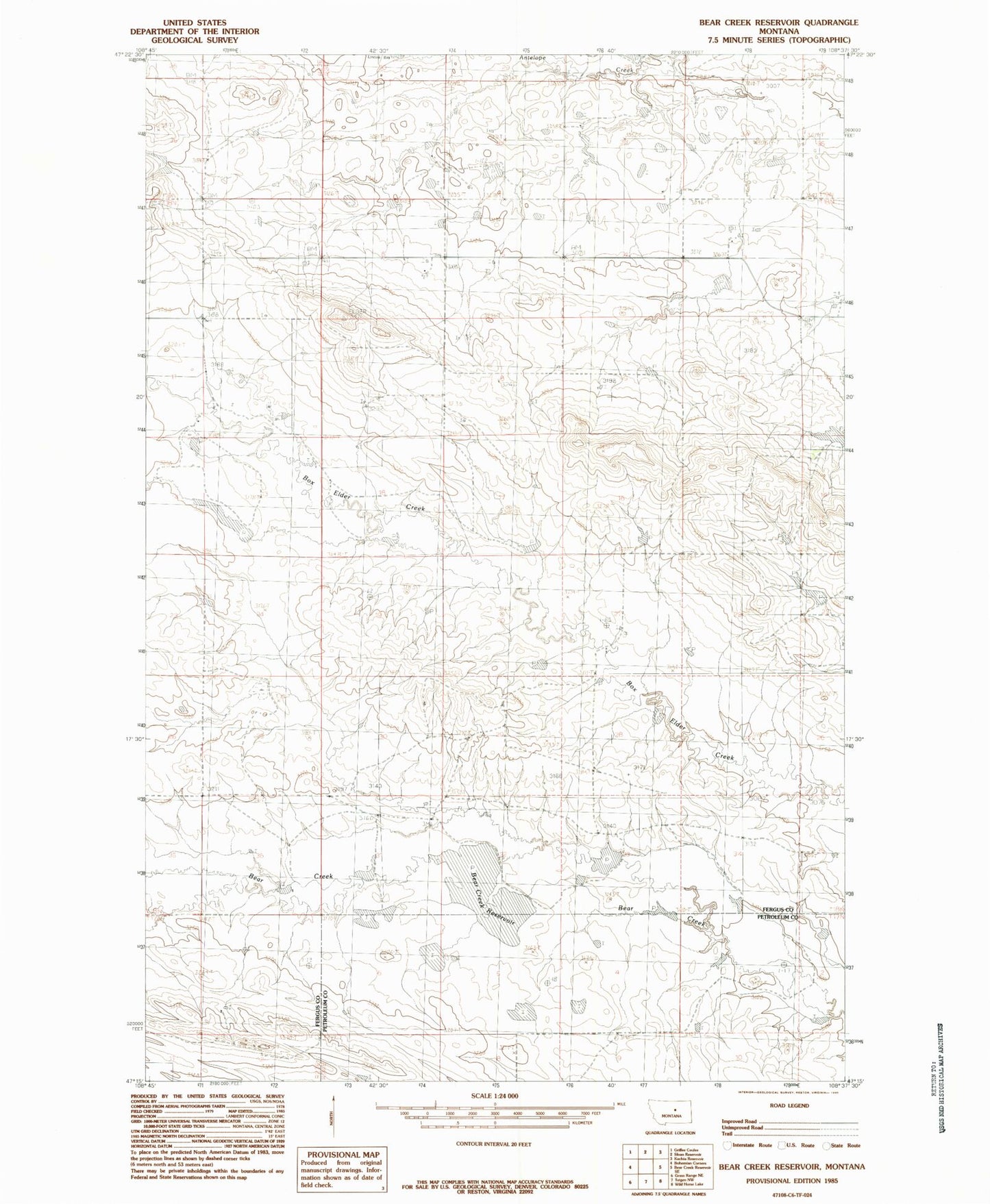
Classic USGS Bear Creek Reservoir Montana 7.5'x7.5' Topo Map
Couldn't load pickup availability
Historical USGS topographic quad map of Bear Creek Reservoir in the state of Montana. Map scale may vary for some years, but is generally around 1:24,000. Print size is approximately 24" x 27"
This quadrangle is in the following counties: Fergus, Petroleum.
The map contains contour lines, roads, rivers, towns, and lakes. Printed on high-quality waterproof paper with UV fade-resistant inks, and shipped rolled.
Contains the following named places: 18N23E11DD__01 Well, 18N24E14BAB_01 Well, 18N24E14BB__01 Well, 18N24E29BBD_01 Well, 18N25E07CADB01 Well, Adams Number 2 Dam, Bear Creek Reservoir, Box Elder School, Christensen Post Office, Cooper Adams Number 1 Dam, Cooper-Adams Number 4 Dam, Cooper-Adams Number 5 Dam, Cooper-Adams Number 6 Dam, Dory Post Office, Fink Number 2 Dam, Havre Reservoir Dam, Peters Dam, Peters Number 2 Dam, Styer Number 2 Dam, Valley View School, Waverly Presbyterian Church