MyTopo
Classic USGS Bear Creek North Carolina 7.5'x7.5' Topo Map
Couldn't load pickup availability
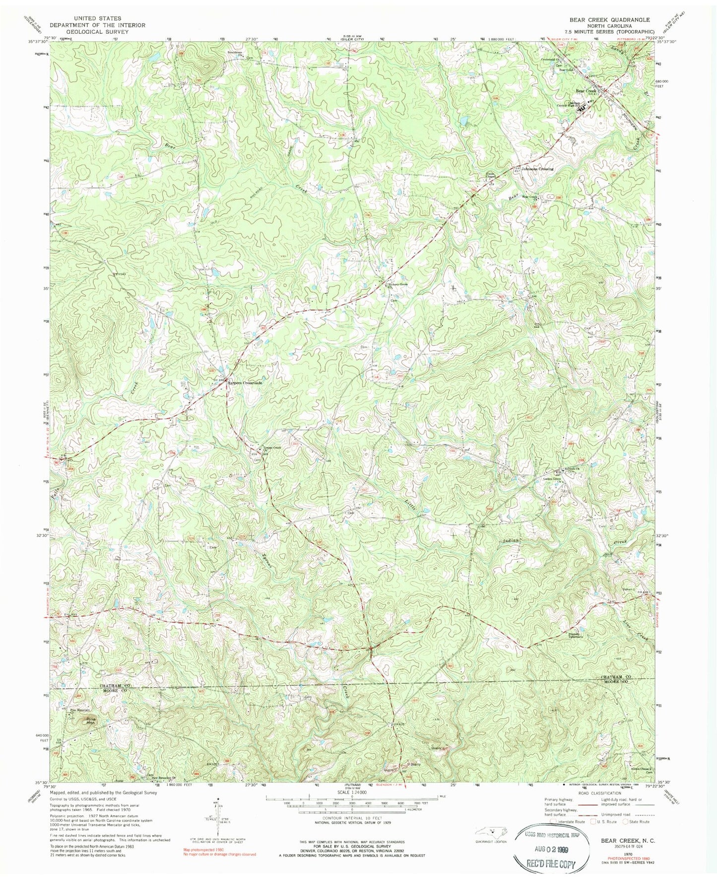
Historical USGS topographic quad map of Bear Creek in the state of North Carolina. Map scale may vary for some years, but is generally around 1:24,000. Print size is approximately 24" x 27"
This quadrangle is in the following counties: Chatham, Moore.
The map contains contour lines, roads, rivers, towns, and lakes. Printed on high-quality waterproof paper with UV fade-resistant inks, and shipped rolled.
Contains the following named places: Alston Chapel, Antioch Church, Bear Creek, Bear Creek Church, Bear Creek Post Office, Centennial Church, Chatham Central High School, Friendly Tabernacle, Gaines Grove Church, Harpers Crossroads, Hickory Grove Church, Johnsons Crossing, New Bensalem Church, Pine Mountain, Pine Mountain Church, Providence Church, Sandy Branch, Township of Bear Creek, Tysons Creek Church, Union Chapel, ZIP Code: 27207