MyTopo
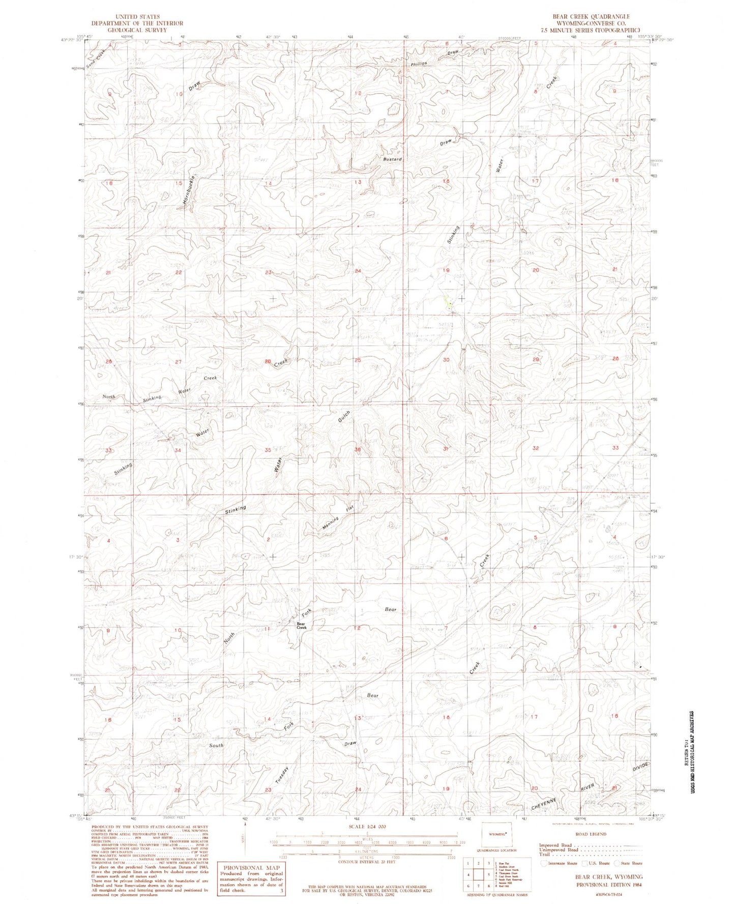
Classic USGS Bear Creek Wyoming 7.5'x7.5' Topo Map
Couldn't load pickup availability
Historical USGS topographic quad map of Bear Creek in the state of Wyoming. Map scale may vary for some years, but is generally around 1:24,000. Print size is approximately 24" x 27"
This quadrangle is in the following counties: Converse.
The map contains contour lines, roads, rivers, towns, and lakes. Printed on high-quality waterproof paper with UV fade-resistant inks, and shipped rolled.
Contains the following named places: Bustard Draw, Hardy Number 1 Dam, Hardy Number 1 Reservoir, Hardy Ranch, Hardy Ranch Airport, Hornbuckle Draw, Manning Flat, Manning Ranch, North Stinking Water Creek, Seepage Control Dam, Seepage Control Reservoir, Stinking Water Gulch, Tailings Disposal Dam, Tailings Disposal Reservoir