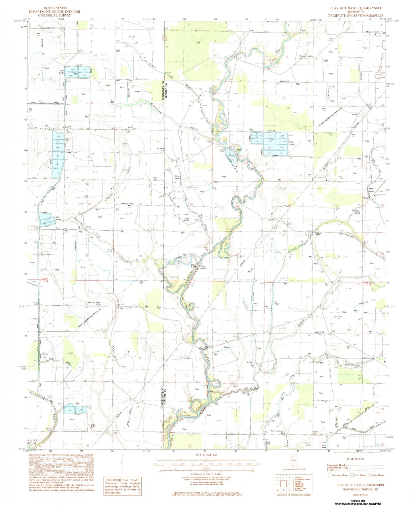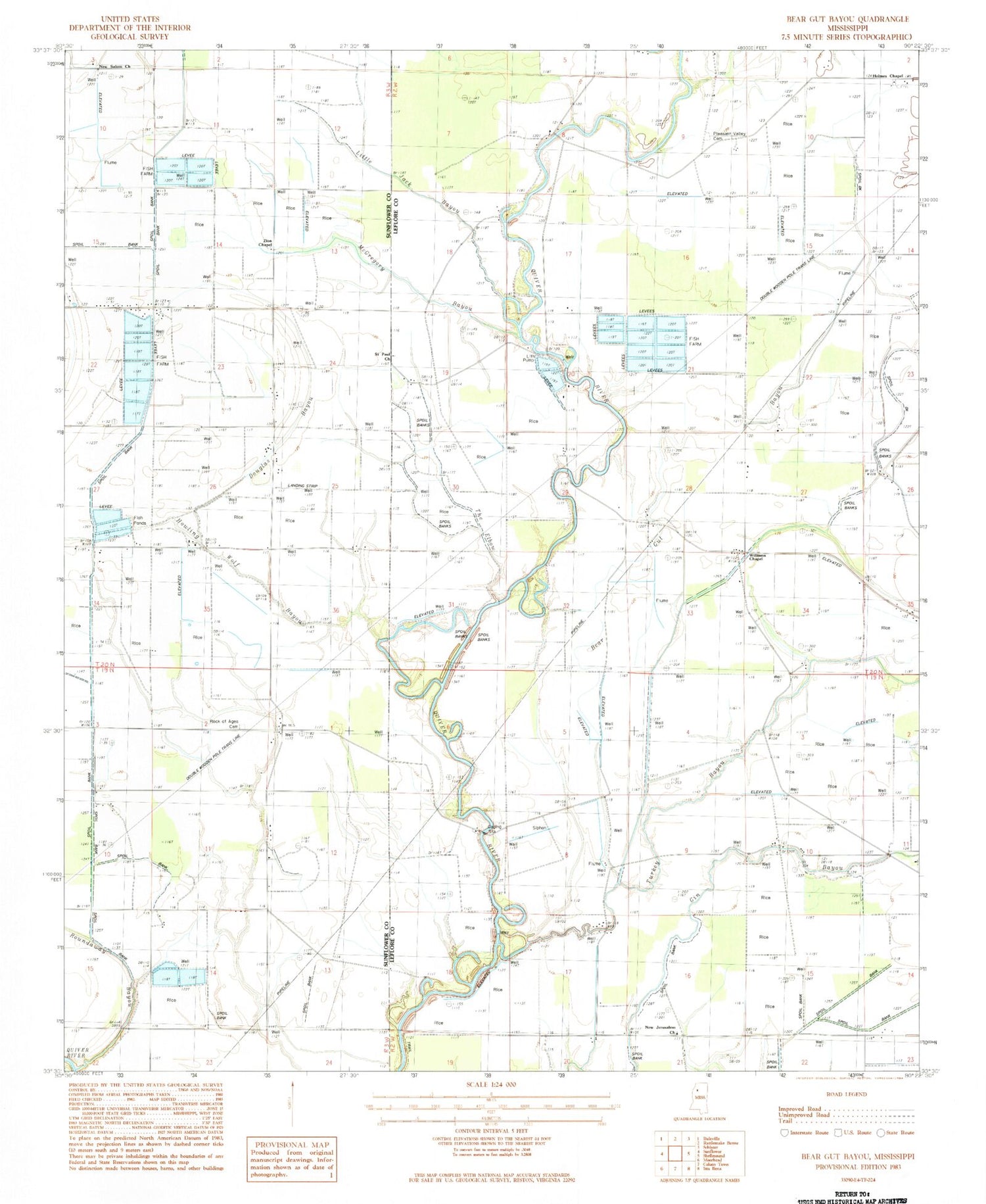
MyTopo
Classic USGS Bear Gut Bayou Mississippi 7.5'x7.5' Topo Map
Couldn't load pickup availability
Historical USGS topographic quad map of Bear Gut Bayou in the state of Mississippi. Map scale may vary for some years, but is generally around 1:24,000. Print size is approximately 24" x 27"
This quadrangle is in the following counties: Leflore, Sunflower.
The map contains contour lines, roads, rivers, towns, and lakes. Printed on high-quality waterproof paper with UV fade-resistant inks, and shipped rolled.
Contains the following named places: Bear Gut Bayou, Carl Pittman School, Douglas Bayou, Gin Bayou, Grayford School, Half Mile Church, Holmes Chapel, Hoteleon School, Howling Wolf Bayou, Jones Chapel, Little Jack Bayou, McGregory Creek, New Jerusalem Church, New Salem Church, Pitman School, Pleasant Valley Cemetery, Pleasant Valley Church, Rock of Ages Cemetery, Rock of Ages Church, Roundaway Bayou, Saint Paul Church, Tackett Fish Farms, Tackett Lake Dam, The Elbow, Turkey Bayou, Union Grove Church, Wabi School, Williams Chapel, Zion Chapel, Zion Rock Church