MyTopo
Classic USGS Bear Hills Arizona 7.5'x7.5' Topo Map
Regular price
$16.95
Regular price
Sale price
$16.95
Unit price
per
Couldn't load pickup availability
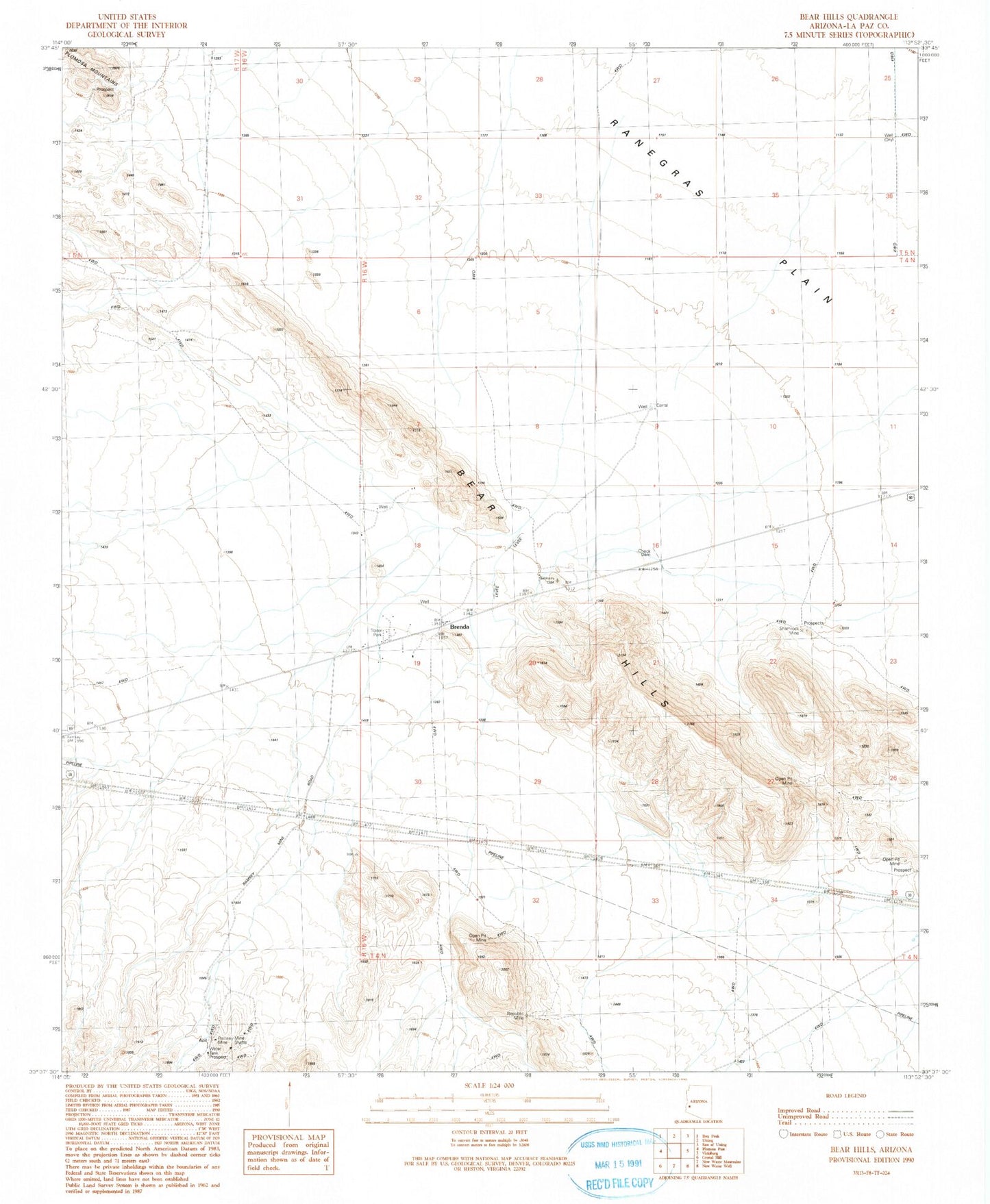
Historical USGS topographic quad map of Bear Hills in the state of Arizona. Typical map scale is 1:24,000, but may vary for certain years, if available. Print size: 24" x 27"
This quadrangle is in the following counties: La Paz.
The map contains contour lines, roads, rivers, towns, and lakes. Printed on high-quality waterproof paper with UV fade-resistant inks, and shipped rolled.
Contains the following named places: Bear Hills, Pioneer, Plomosa Windmill, Ramsey Mine, Republic Mine, Shamrock Mine, Brenda, La Paz County, Parker Division, Brenda Census Designated Place, The Black Rock Recreational Vehicle Village