MyTopo
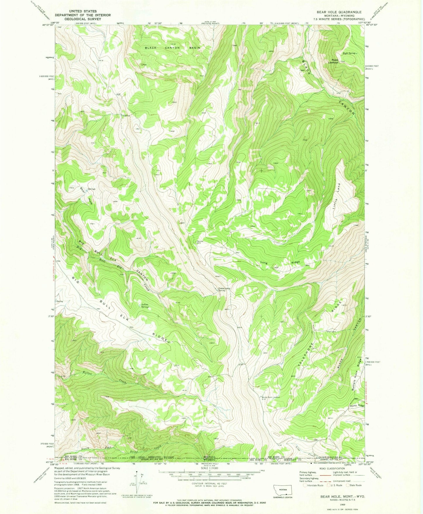
Classic USGS Bear Hole Montana 7.5'x7.5' Topo Map
Regular price
$16.95
Regular price
Sale price
$16.95
Unit price
per
Couldn't load pickup availability
Historical USGS topographic quad map of Bear Hole in the state of Montana. Map scale may vary for some years, but is generally around 1:24,000. Print size is approximately 24" x 27"
This quadrangle is in the following counties: Big Horn, Sheridan.
The map contains contour lines, roads, rivers, towns, and lakes. Printed on high-quality waterproof paper with UV fade-resistant inks, and shipped rolled.
Contains the following named places: Bear Hole, Big Bull Elk Ridge, Black Cabin, Black Canyon Basin, Commissary Spring, Eagle Spring, Indian Springs, Little Land, Long Ridge, Point Lookout, Rocky Ridge, Telephone Ridge, Windy Point Lookout