MyTopo
Classic USGS Bear Mountain Arizona 7.5'x7.5' Topo Map
Couldn't load pickup availability
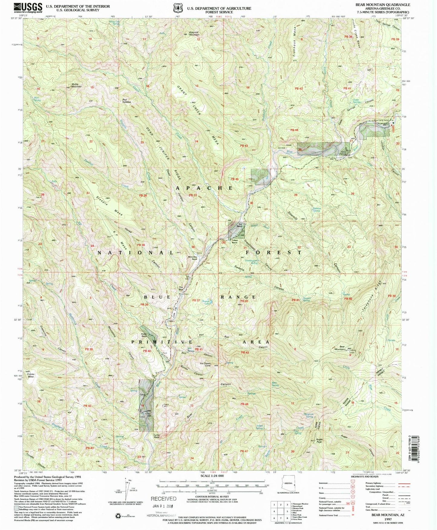
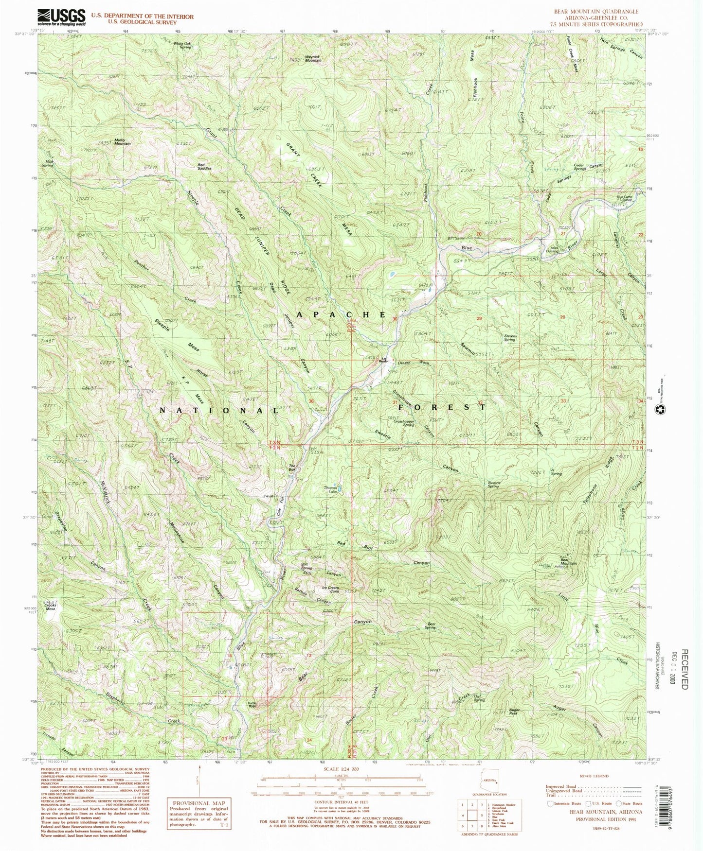
Historical USGS topographic quad map of Bear Mountain in the state of Arizona. Typical map scale is 1:24,000, but may vary for certain years, if available. Print size: 24" x 27"
This quadrangle is in the following counties: Greenlee.
The map contains contour lines, roads, rivers, towns, and lakes. Printed on high-quality waterproof paper with UV fade-resistant inks, and shipped rolled.
Contains the following named places: A Spring, Balke Crossing, Barnes Canyon, Bear Mountain Lookout, Blue Camp Administrative Site, Cole Flat, Coleman Ranch, Dead Juniper Canyon, Dead Juniper Ridge, Diaper Wash, Fishhook Mesa, Grant Creek Mesa, Grasshopper Canyon, Grasshopper Spring, Ice Cream Cone, Muhly Mountain, Owl Spring, Red Saddles, Robart Ranch, Stevens Spring, Waynick Mountain, Auger Peak, Bear Canyon, Bear Mountain, Bear Spring, Blue Ranger Station, Cedar Springs Canyon, Fishhook Creek, Foote Creek, Grant Creek, Grapevine Canyon, Horse Canyon, KP Creek, KP Mesa, Lanphier Canyon, Largo Creek, Mangrum Spring, McKittrick Creek, Moonshine Canyon, Mud Spring, Panther Creek, Raspberry Creek, Red Bull Canyon, Sawmill Canyon, Steeple Creek, Steeple Mesa, Still Canyon, Sweetie Canyon, Sweetie Spring, Telephone Ridge, The Box, Thomas Lake, Turtle Rock, White Oak Spring, Cedar Spring, Downs Cabin, K Bar K Ranch, Lee Cabin, Reynolds Ranch, Richardson Cabin, Steeple Mesa Seventy-Three Trail, Still Spring, Tolbert Cabin, Cosper, Blue Range Primitive Area, Bear Mountain Lookout, A Spring, Open Flat Corral