MyTopo
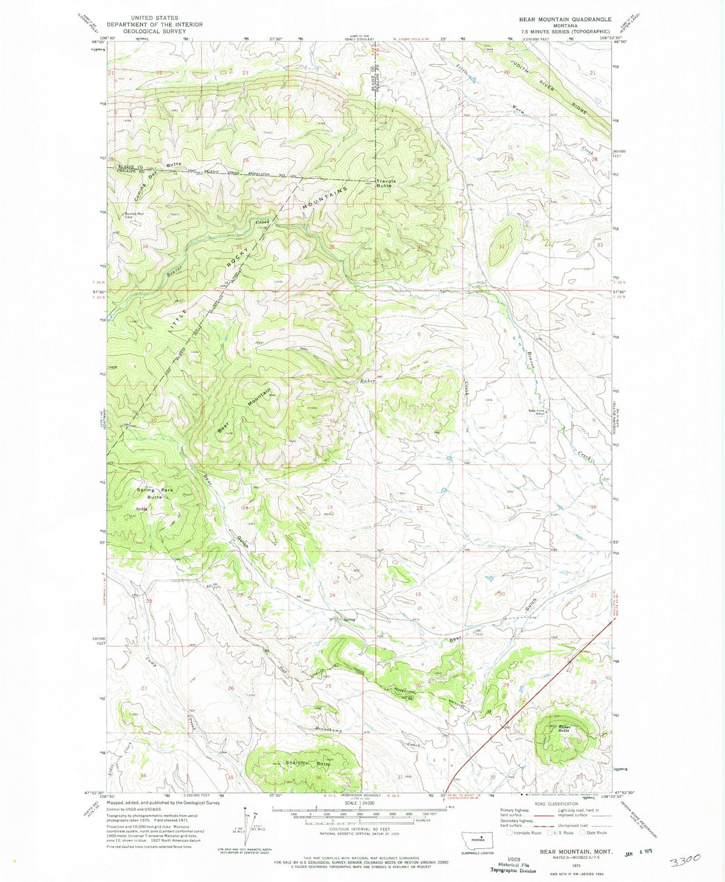
Classic USGS Bear Mountain Montana 7.5'x7.5' Topo Map
Couldn't load pickup availability
Historical USGS topographic quad map of Bear Mountain in the state of Montana. Map scale may vary for some years, but is generally around 1:24,000. Print size is approximately 24" x 27"
This quadrangle is in the following counties: Blaine, Phillips.
The map contains contour lines, roads, rivers, towns, and lakes. Printed on high-quality waterproof paper with UV fade-resistant inks, and shipped rolled.
Contains the following named places: 25N25E23ABC_01 Well, 25N25E24DCBA01 Well, 25N26E05BAC_01 Well, 25N26E05BADB01 Well, 25N26E05DDBA01 Well, 25N26E08ADAA01 Well, 25N26E08ADD_02 Well, 25N26E08ADDA01 Well, 25N26E09BCC_01 Well, 25N26E09CDB_01 Well, 25N26E16BDA_01 Well, 26N25E24BCDB01 Spring, 26N25E24BDBC01 Spring, 26N25E24BDDC01 Spring, 26N26E32ACAA01 Spring, 26N26E32ADBB01 Spring, Baker Creek School, Bear Mountain, Belmont Post Office, Coming Day Butte, Ricker Butte, Sharette Butte, Spring Park Butte, Travois Butte


