MyTopo
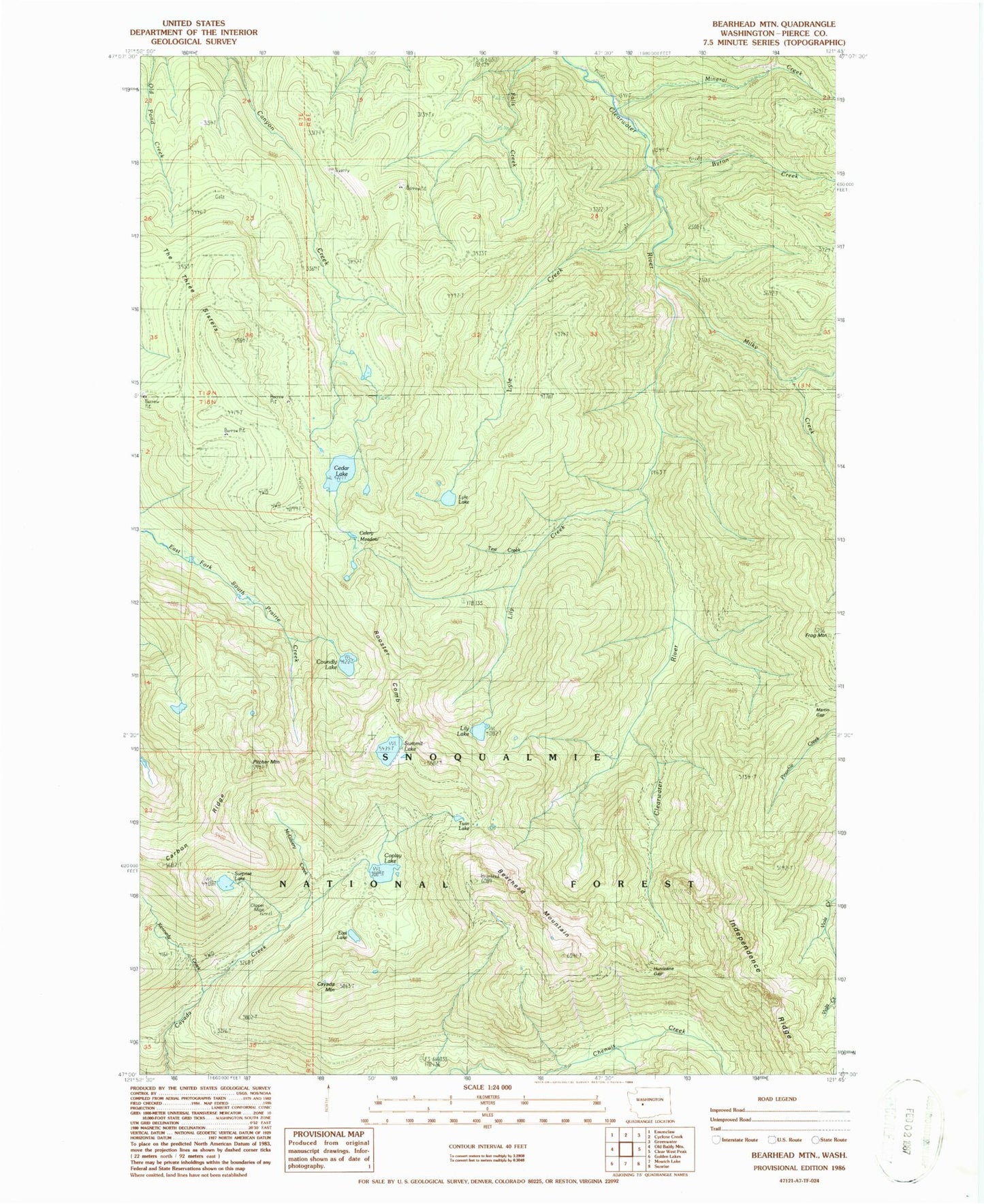
Classic USGS Bearhead Mountain Washington 7.5'x7.5' Topo Map
Couldn't load pickup availability
Historical USGS topographic quad map of Bearhead Mountain in the state of Washington. Map scale is 1:24000. Print size is approximately 24" x 27"
This quadrangle is in the following counties: Pierce.
The map contains contour lines, roads, rivers, towns, and lakes. Printed on high-quality waterproof paper with UV fade-resistant inks, and shipped rolled.
Contains the following named places: Bearhead Mountain, Byron Creek, Carbon Trail, Cayada Mountain, Cedar Lake, Celery Meadow, Clearwater Trail, Clearwater Wilderness, Clipper Mine, Coplay Lake, Copper King Mine, Coundly Lake, Double Camp Shelter, Dry Camp, East Lake, Falls Creek, Frog Mountain, Hurricane Gap, Kennedy Creek, Lily Creek, Lily Lake, Lyle Creek, Lyle Lake, Martin Gap, McGilvery Creek, Milky Creek, Mineral Creek, Pitcher Mountain, Queen Bee Mine, Rooster Comb, Summit Lake, Summit Lake Trail, Surprise Lake, Test Creek, The Three Sisters, Twin Lake, W-E Camp Shelter