MyTopo
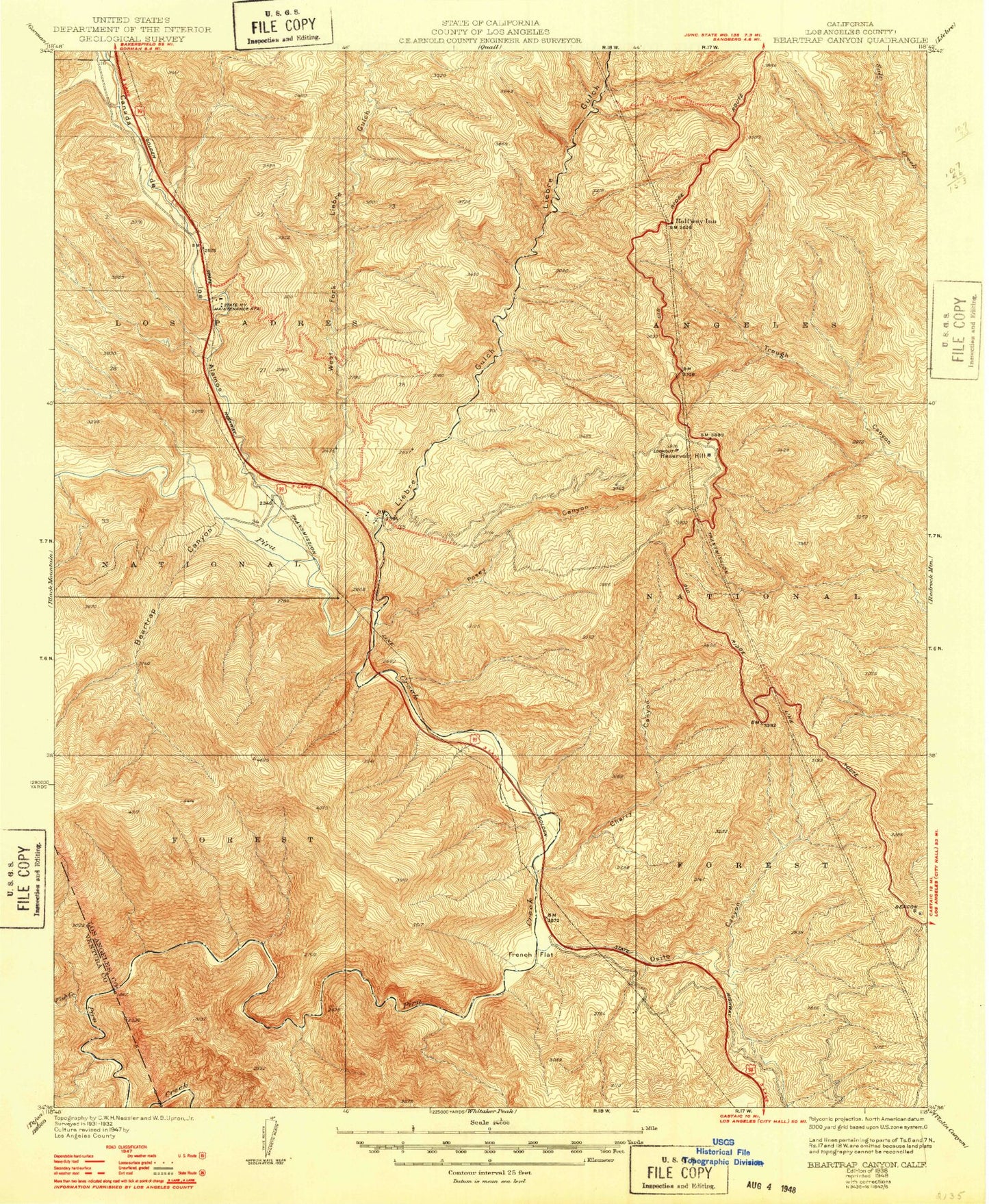
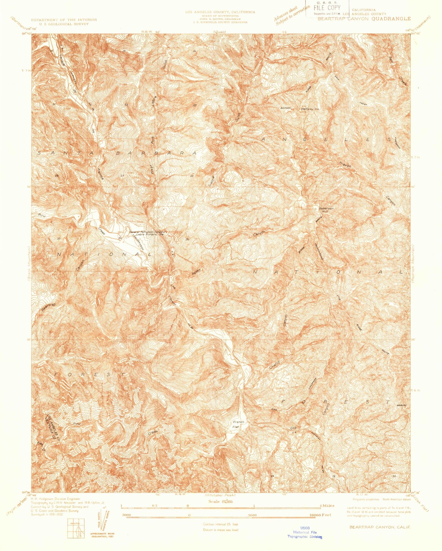
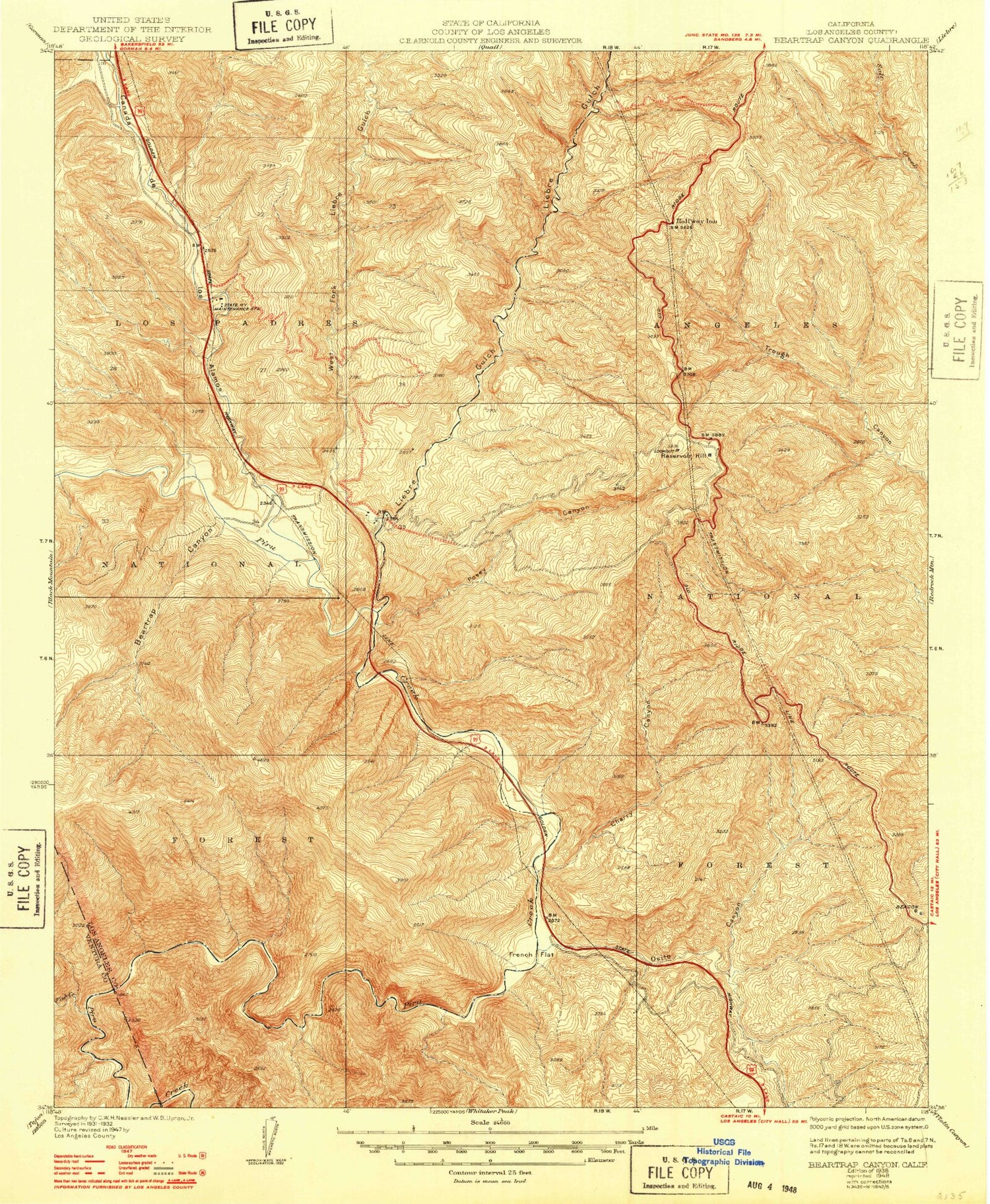
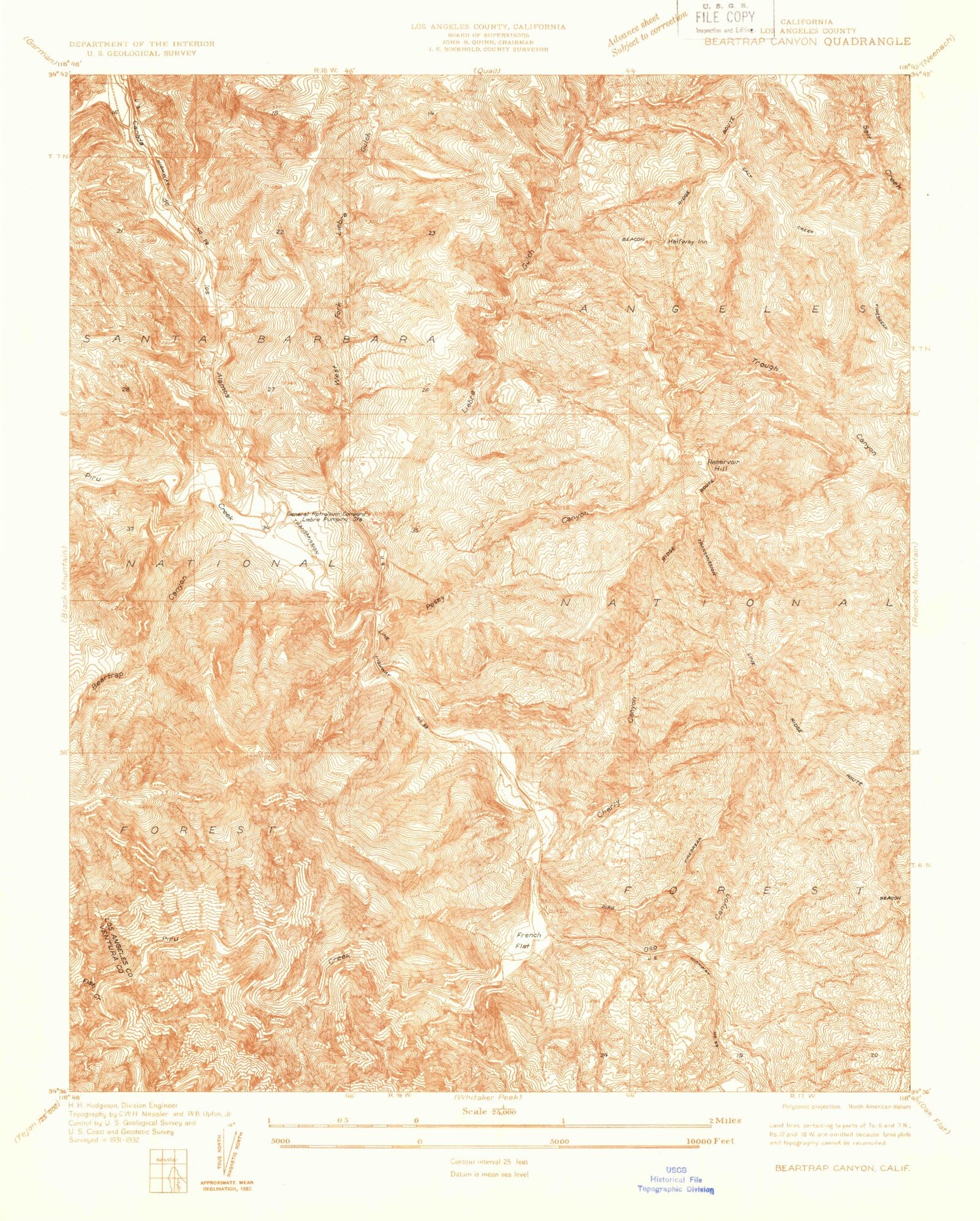
Classic USGS Beartrap Canyon California 7.5'x7.5' Topo Map
Couldn't load pickup availability
Historical USGS topographic quad map of Beartrap Canyon in the state of California. Map scale may vary for some years, but is generally around 1:24,000. Print size is approximately 24" x 27"
This quadrangle is in the following counties: Los Angeles, Ventura.
The map contains contour lines, roads, rivers, towns, and lakes. Printed on high-quality waterproof paper with UV fade-resistant inks, and shipped rolled.
Contains the following named places: Angeles Tunnel, Apple Canyon, Bailey Trail, Beartrap Canyon, Beartrap Picnic Area, Beartrap Spring, Carlos Canyon, Cherry Canyon, Chumash Island, Cold Canyon, Coyote Canyon, Emigrant Landing, Emigrant Landing Picnic Area, Fish Creek, Frenchmans Flat, Frenchmans Flat Campground, Glory Hole, Gorman Creek, Halfway Inn, Liebre Gulch, Liebre Gulch Maintenance Station, Liebre Pumping Station, Lost Mine, Nugget Point, Oak Flats, Osito Canyon, Piru Creek Wild and Scenic River, Piru Gorge, Posey Canyon, Priest, Pyramid 1-066 Dam, Pyramid Lake, Pyramid Rock, Quarry Spring, Reservoir Hill, Reservoir Summit, Royball Spring, Serrano Picnic Area, Side Hill Siphon, Slide Mountain, Slide Mountain Lookout, Spanish Point, Tin Cup Picnic Area, Vaquero Picnic Area, West Fork Liebre Gulch, William E Warne Power Plant, Yellow Bar Picnic Area


