MyTopo
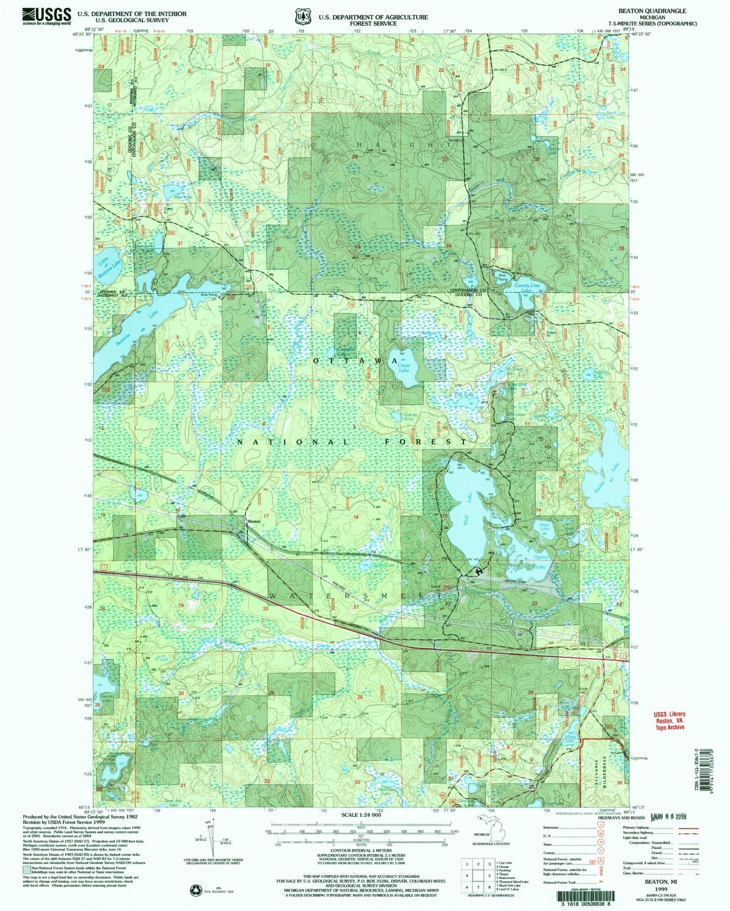
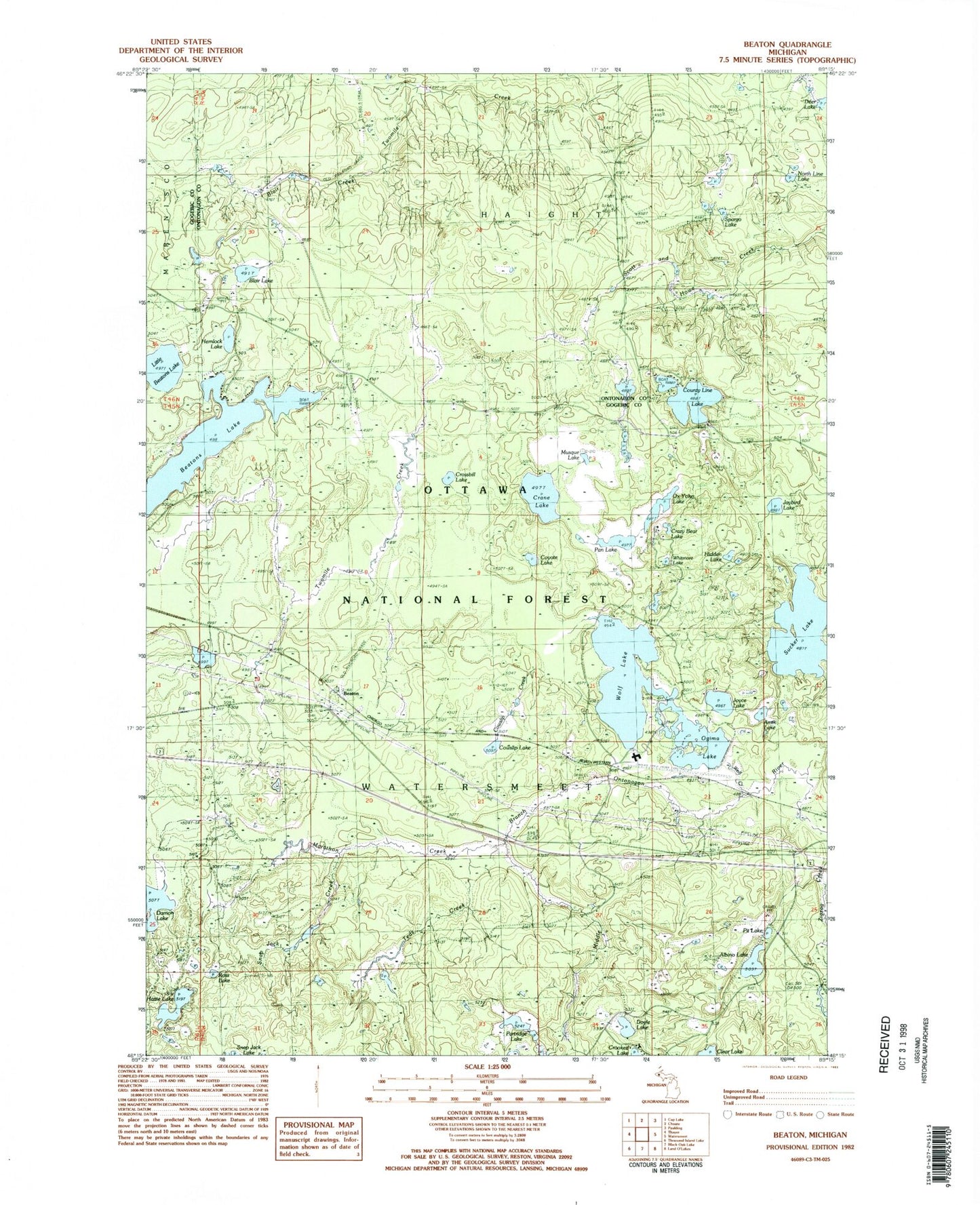
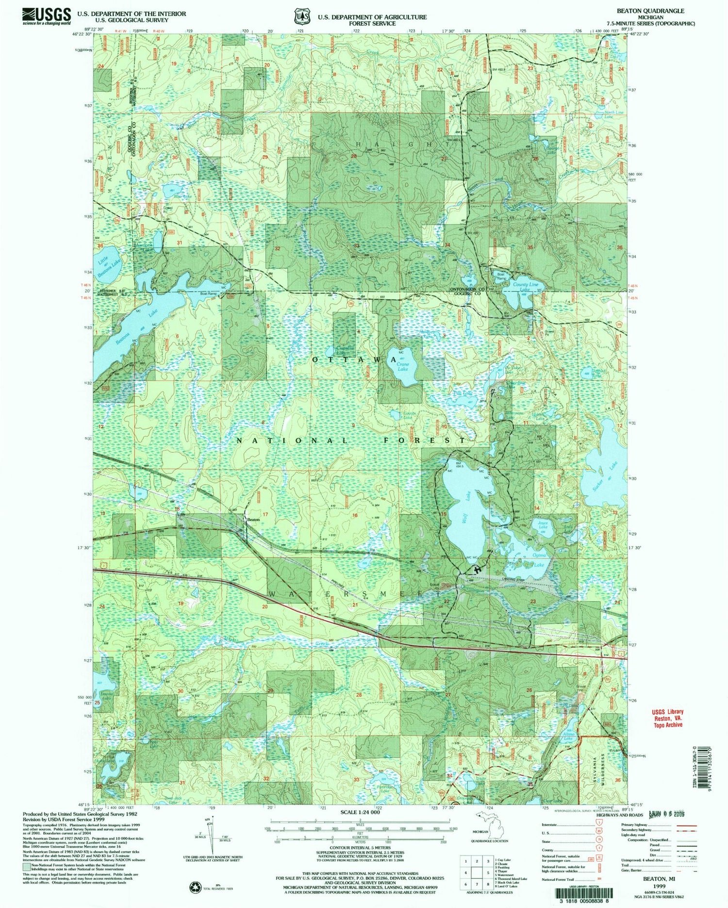
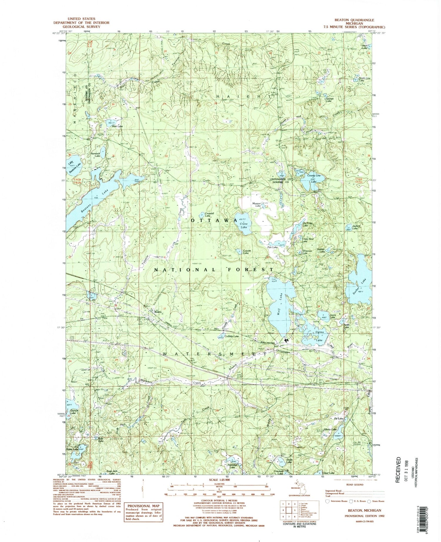
Classic USGS Beaton Michigan 7.5'x7.5' Topo Map
Couldn't load pickup availability
Historical USGS topographic quad map of Beaton in the state of Michigan. Map scale is 1:24000. Print size is approximately 24" x 27"
This quadrangle is in the following counties: Gogebic, Ontonagon.
The map contains contour lines, roads, rivers, towns, and lakes. Printed on high-quality waterproof paper with UV fade-resistant inks, and shipped rolled.
Contains the following named places: Albino Lake, Amik Lake, Beaton, Beatons Lake, Blair Creek, Blair Lake, Corssbill Lake, County Line Lake, Cowslip Creek, Cowslip Lake, Coyote Lake, Crane Lake, Crazy Bear Lake, Doyle Lake, Hattie Lake, Hemlock Lake, Hidden Lake, Immaculate Conception Church, Jaybird Lake, Jishib Lake, Little Beatons Lake, Marathon Creek, Musque Lake, North Line Lake, Northwoods Airport, Ogima Lake, Ogima Lake, Ottowa Campground, Ox Yoke Lake, Pan Lake, Partridge Lake, Pit Lake, Ross Lake, Snap Jack Creek, Spargo Lake, Sucker Lake, Teds Creek, Watersmeet Lookout Tower, Whitmore Lake, Winterberry Lake, Wolf Creek, Wolf Lake


