MyTopo
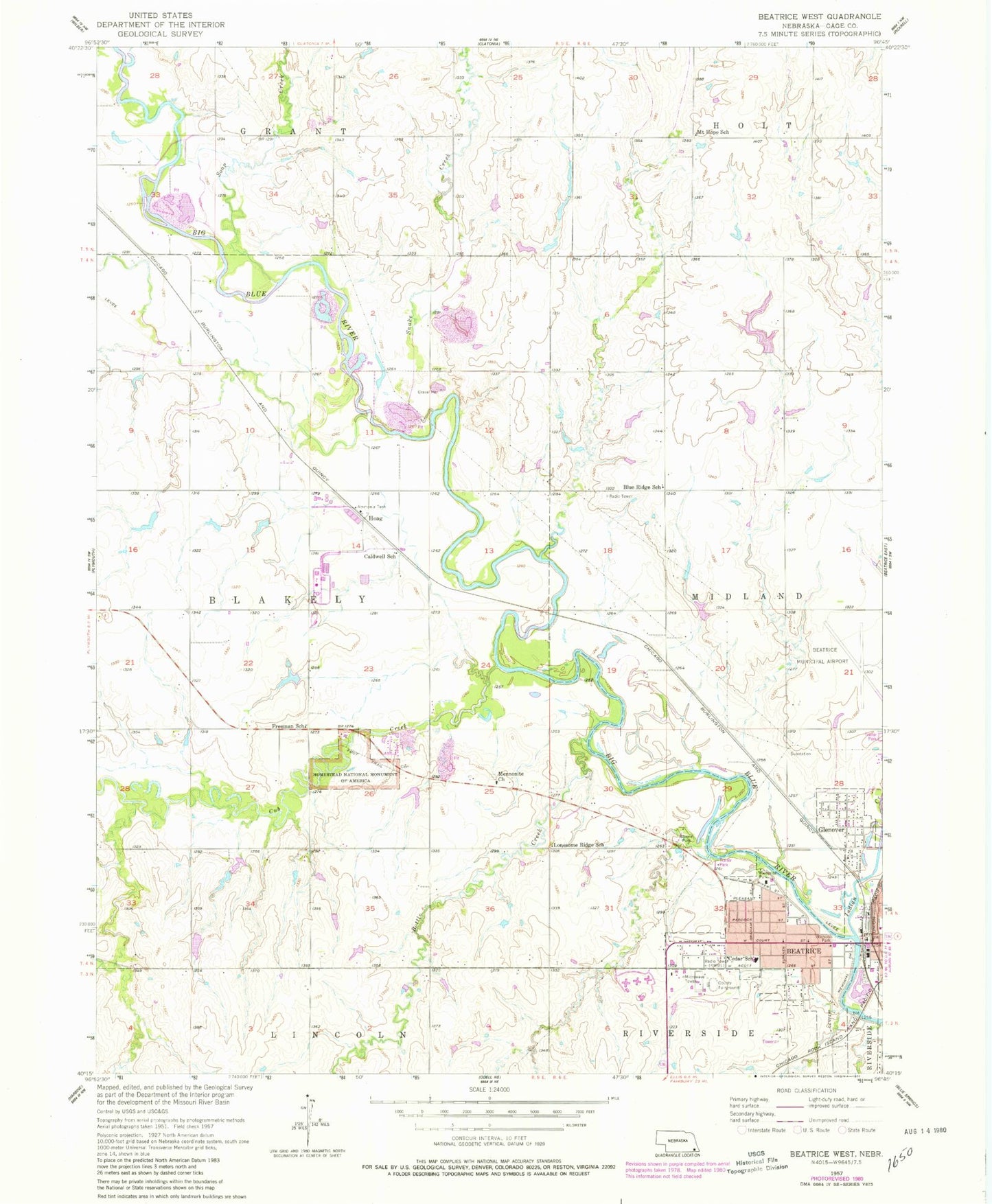
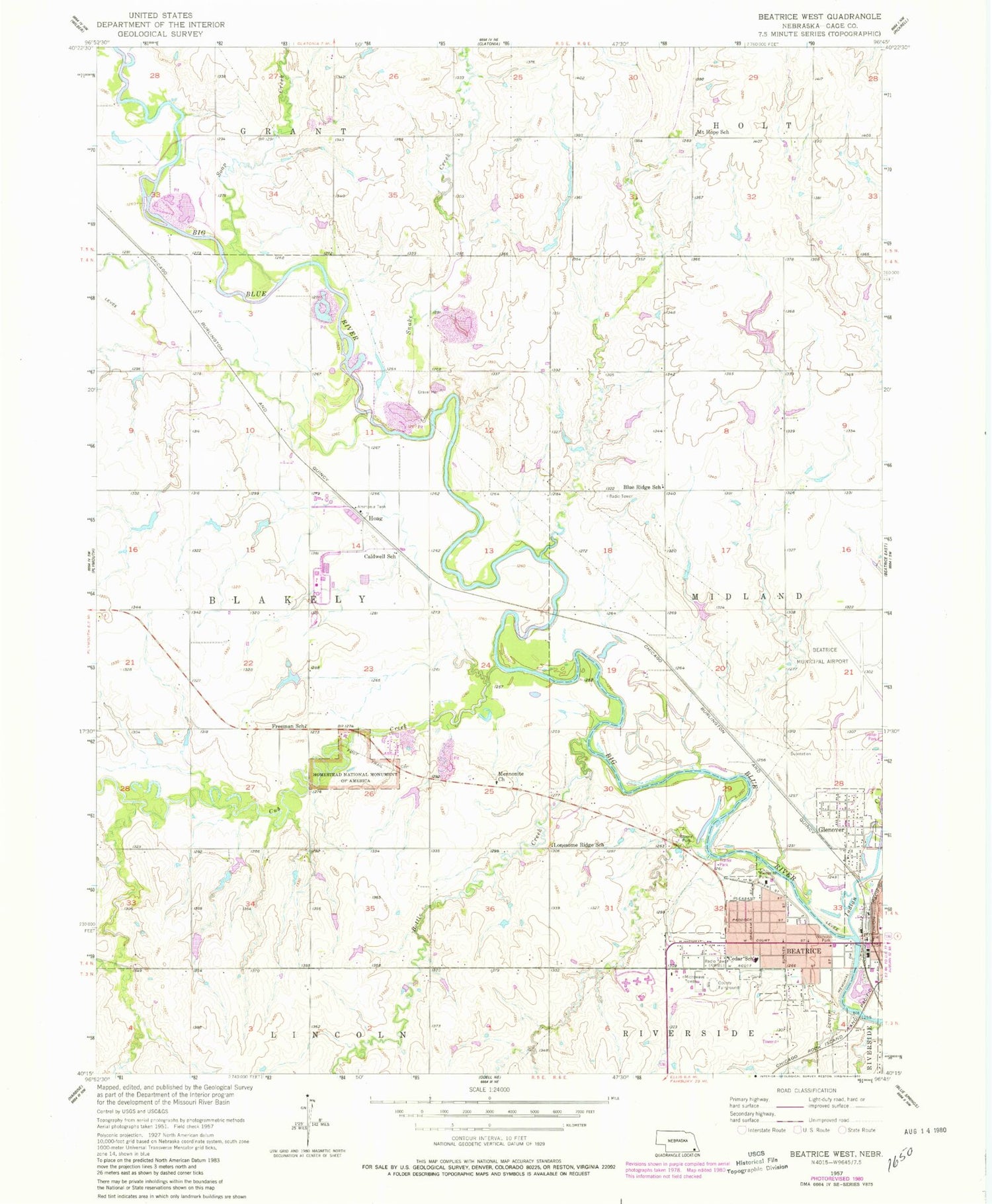
Classic USGS Beatrice West Nebraska 7.5'x7.5' Topo Map
Couldn't load pickup availability
Historical USGS topographic quad map of Beatrice West in the state of Nebraska. Map scale may vary for some years, but is generally around 1:24,000. Print size is approximately 24" x 27"
This quadrangle is in the following counties: Gage.
The map contains contour lines, roads, rivers, towns, and lakes. Printed on high-quality waterproof paper with UV fade-resistant inks, and shipped rolled.
Contains the following named places: Adams Hall, Beatrice, Beatrice Fire and Rescue, Beatrice Medical Center, Beatrice Municipal Airport, Beatrice Rural Fire District Substation, Beatrice Speedway, Blue Ridge School, Bottle Creek, Caldwell School, Campus Maintenance, Cedar Elementary School, Christenson Field, Cub Creek, Cub Creek Dam G-1, Cub Creek Dam G-6, Cub Creek Reservoir G-1, Cub Creek Reservoir G-6, Dolen School, Dusenbery-Doyle Dam, Dusenbery-Doyle Reservoir, Ebbers Dam Number 1, Ebbers Reservoir Number 1, Farmers Co-operative Elevator Company Elevator, Ford Hall, Freeman Grave Site, Freeman School, Gage County Fairgrounds, Gage County Fairgrounds Campground, Gage County Historical Museum, Gage County Industrial Park, Glenover, Hoag, Hoag Post Office, Homestead National Monument, Homestead National Monument Visitors Center, Homestead Trail, Hoover Hall, Indian Creek, Jackson Hall, KWBE-AM (Beatrice), Lincoln Center, Lonesome Ridge School, Mennonite Church, Mount Hope School, Nichols Park, Riverside Park, Riverside Park Campground, Roszell Park, Shrine Park, Snake Creek, Soap Creek, Southeast Community College - Beatrice Campus, Southeast Nebraska Co-operative Company Elevator, Township of Blakely, United Methodist Church, Wast Side Baptist Church, West Side Community Church


