MyTopo
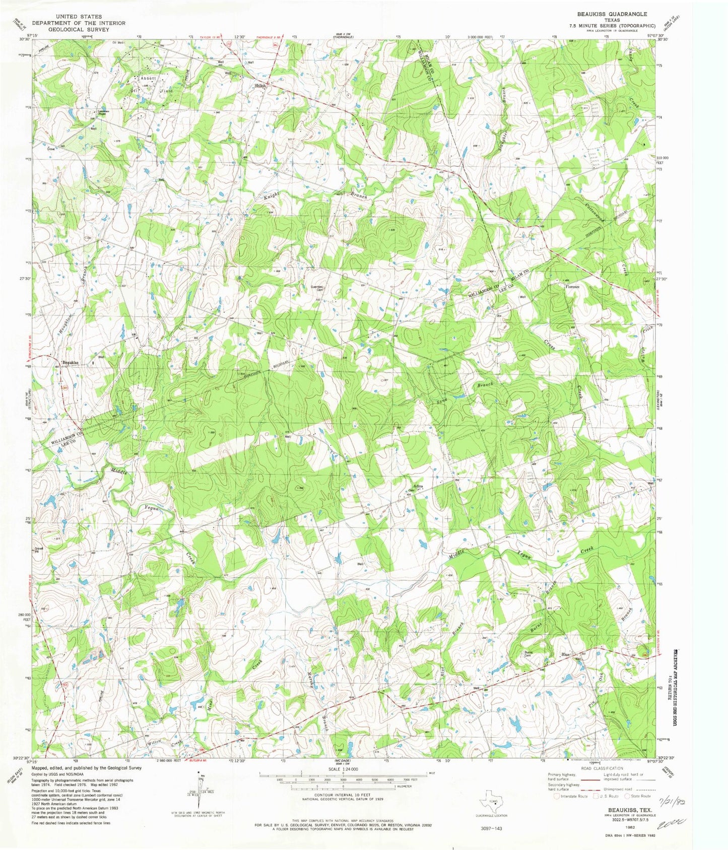
Classic USGS Beaukiss Texas 7.5'x7.5' Topo Map
Couldn't load pickup availability
Historical USGS topographic quad map of Beaukiss in the state of Texas. Map scale may vary for some years, but is generally around 1:24,000. Print size is approximately 24" x 27"
This quadrangle is in the following counties: Lee, Milam, Williamson.
The map contains contour lines, roads, rivers, towns, and lakes. Printed on high-quality waterproof paper with UV fade-resistant inks, and shipped rolled.
Contains the following named places: Abbott Oil Field, Adina, Beaukiss, Blue, Blue Branch, Blue School, Blue Volunteer Fire Department, Burns Branch, Burns Cemetery, Clay Hill, Cottonwood Creek, Draeger Lake, Draeger Lake Dam, Eckman School, Florence Church, Guentzel Cemetery, Houghton Branch, Knight Branch, Lawrence School, Marshy Branch, Mine Creek, Sand Branch, Shiloh, Shiloh Church, Slaughter Branch, Willow Creek, Wood Triple D Airport