MyTopo
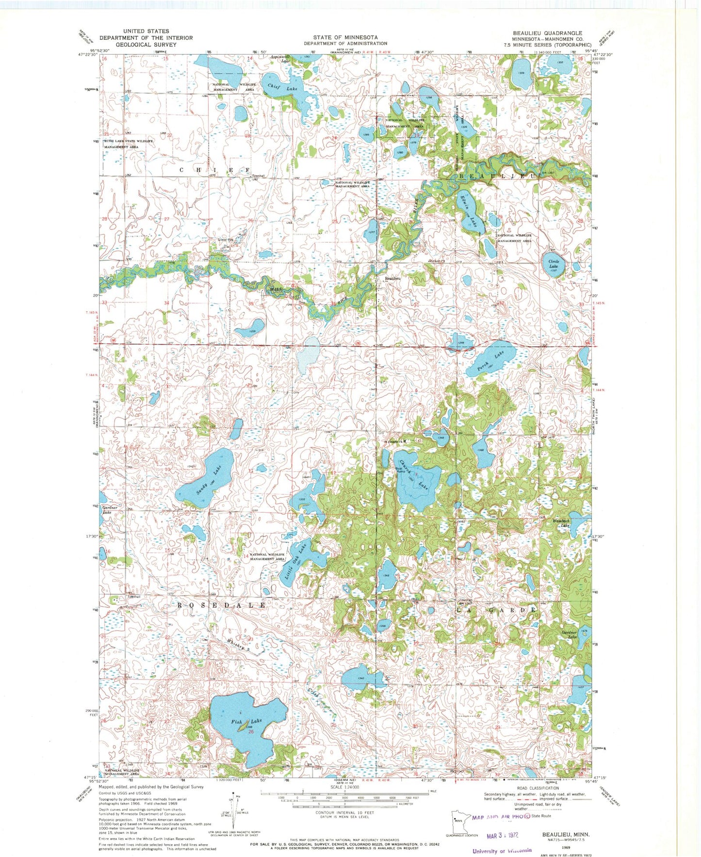
Classic USGS Beaulieu Minnesota 7.5'x7.5' Topo Map
Couldn't load pickup availability
Historical USGS topographic quad map of Beaulieu in the state of Minnesota. Map scale may vary for some years, but is generally around 1:24,000. Print size is approximately 24" x 27"
This quadrangle is in the following counties: Mahnomen.
The map contains contour lines, roads, rivers, towns, and lakes. Printed on high-quality waterproof paper with UV fade-resistant inks, and shipped rolled.
Contains the following named places: Beaulieu, Beaulieu Census Designated Place, Beaulieu Post Office, Beaulife State Wildlife Management Area, Chief Lake, Church Lake, Circle Lake, Edwin Lake, Fish Lake, Little Oak Lake, Mahnomen County, Midway Census Designated Place, Perch Lake, Saint Joseph's Catholic Cemetery, Saint Joseph's Cemetery, Saint Josephs Church, Sandy Lake, Township of Chief, Township of Rosedale, Wambach Lake, ZIP Code: 56557