MyTopo
Classic USGS Beaumont Kansas 7.5'x7.5' Topo Map
Couldn't load pickup availability
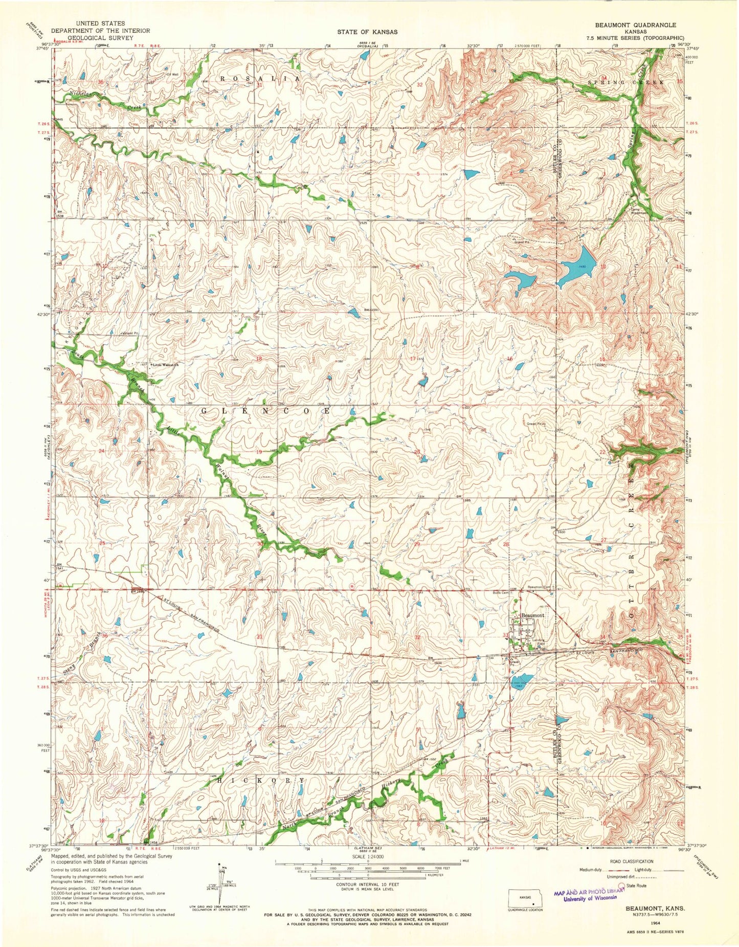
Historical USGS topographic quad map of Beaumont in the state of Kansas. Map scale may vary for some years, but is generally around 1:24,000. Print size is approximately 24" x 27"
This quadrangle is in the following counties: Butler, Greenwood.
The map contains contour lines, roads, rivers, towns, and lakes. Printed on high-quality waterproof paper with UV fade-resistant inks, and shipped rolled.
Contains the following named places: Beaumont, Beaumont Cemetery, Beaumont Census Designated Place, Beaumont Hotel Airport, Butts Cemetery, Camp Wiedemann, Kansas Department of Transportation Greenwood County Rest Area, Little Walnut Church, Little Walnut Glencoe Cemetery, Lower Wiedemann Dam, Township of Glencoe, Upper Wiedemann Dam, ZIP Code: 67012