MyTopo
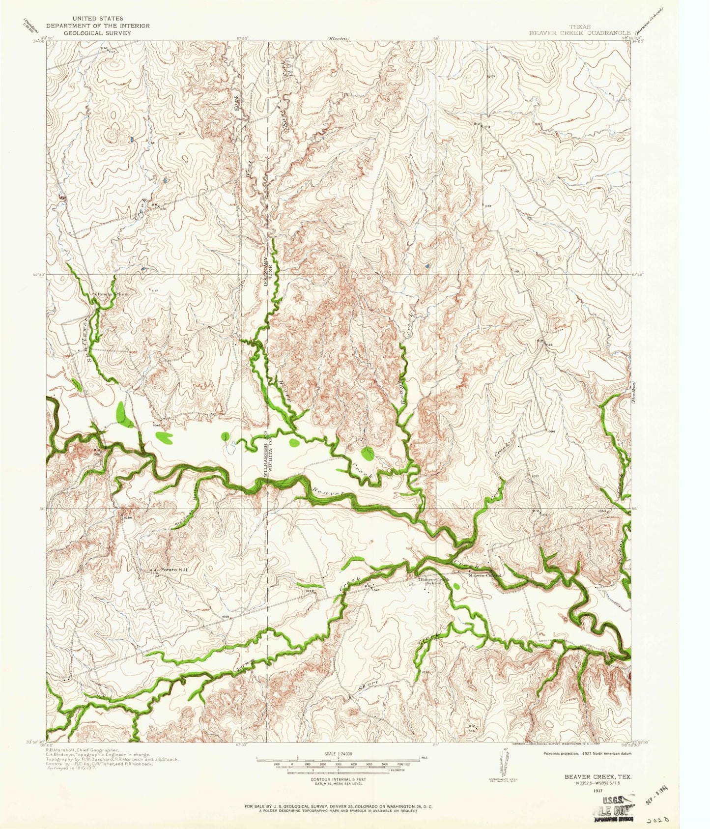
Classic USGS Beaver Creek Texas 7.5'x7.5' Topo Map
Couldn't load pickup availability
Historical USGS topographic quad map of Beaver Creek in the state of Texas. Map scale may vary for some years, but is generally around 1:24,000. Print size is approximately 24" x 27"
This quadrangle is in the following counties: Wichita, Wilbarger.
The map contains contour lines, roads, rivers, towns, and lakes. Printed on high-quality waterproof paper with UV fade-resistant inks, and shipped rolled.
Contains the following named places: Beaver Creek Bridge, Beaver Creek Cemetery, Bluff Creek, Consolidated Oil Field, Coon Creek, East Fork Bluff Creek, Electra Oil Field, Long Creek, Potato Hill, Ronda Cemetery, Rough Creek, Short Creek, Steinman Hollow, Sunflower Creek, Waggoner Ranch Lake Number 6, Waggoner Ranch Lake Number 6 Dam, West Fork Bluff Creek, West Fork Sunflower Creek, ZIP Code: 76360