MyTopo
Classic USGS Beaver Pond SE Maine 7.5'x7.5' Topo Map
Regular price
$16.95
Regular price
Sale price
$16.95
Unit price
per
Couldn't load pickup availability
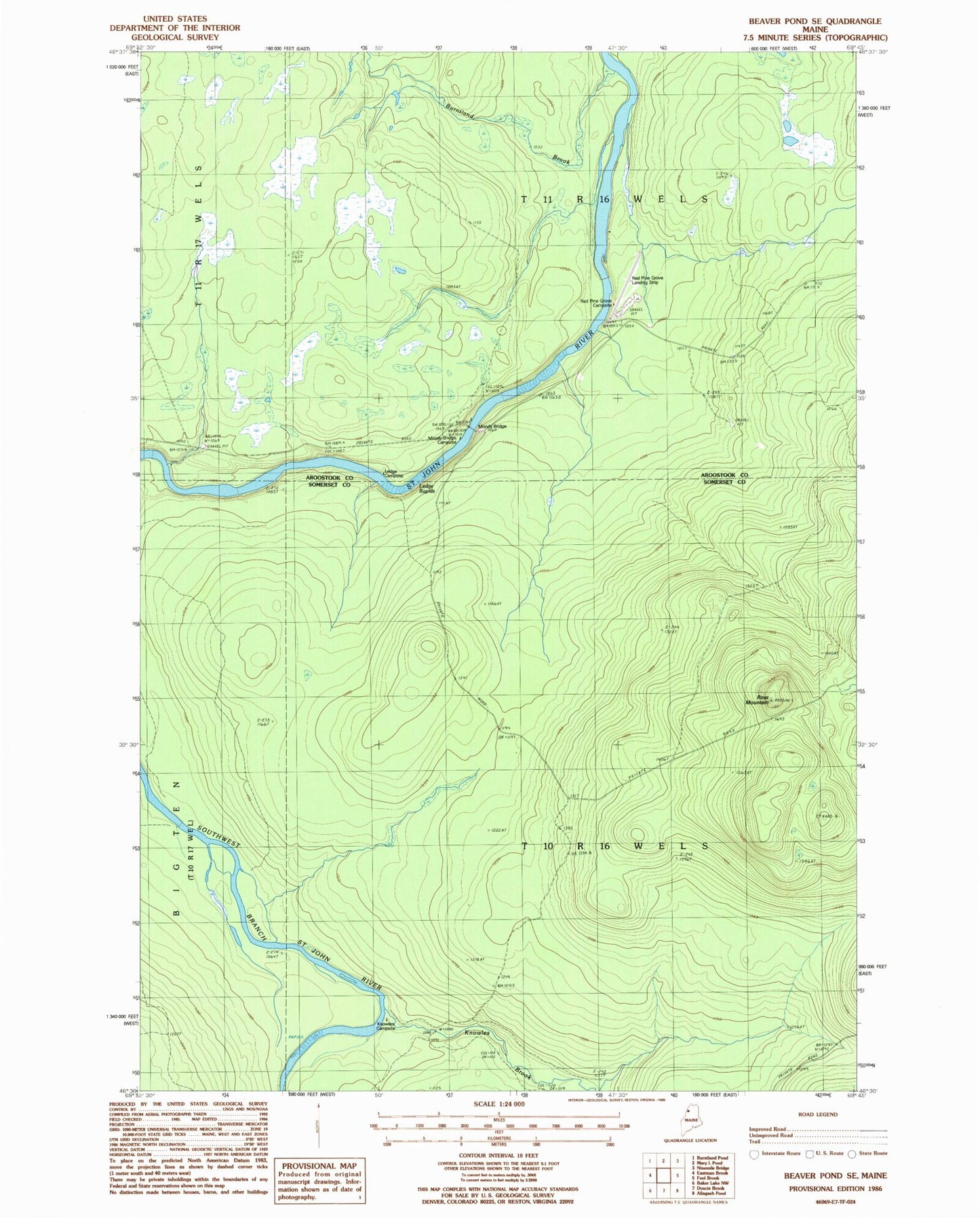
Historical USGS topographic quad map of Beaver Pond SE in the state of Maine. Typical map scale is 1:24,000, but may vary for certain years, if available. Print size: 24" x 27"
This quadrangle is in the following counties: Aroostook, Somerset.
The map contains contour lines, roads, rivers, towns, and lakes. Printed on high-quality waterproof paper with UV fade-resistant inks, and shipped rolled.
Contains the following named places: Burntland Brook, Knowles Brook, Red Pine Grove Landing Area (historical), Knowles Campsite, Ross Mountain, Ross Mountain Lookout Tower, Ledge Rapids, Moody Bridge, Moody Bridge Campsite, Red Pine Grove Campsite, T11 R16 WELS, T10 R16 WELS