MyTopo
Classic USGS Beaver Wall Nebraska 7.5'x7.5' Topo Map
Regular price
$16.95
Regular price
Sale price
$16.95
Unit price
per
Couldn't load pickup availability
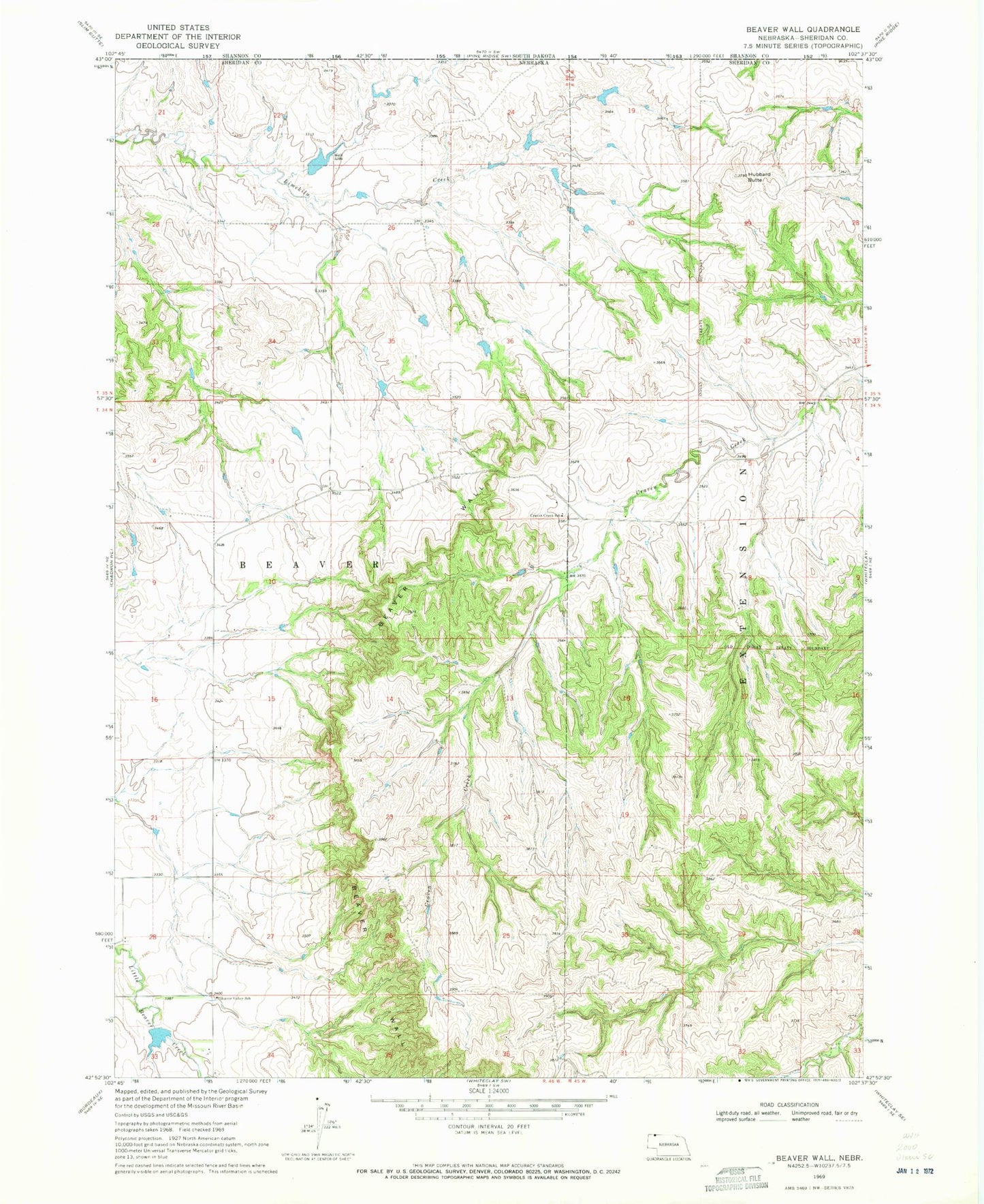
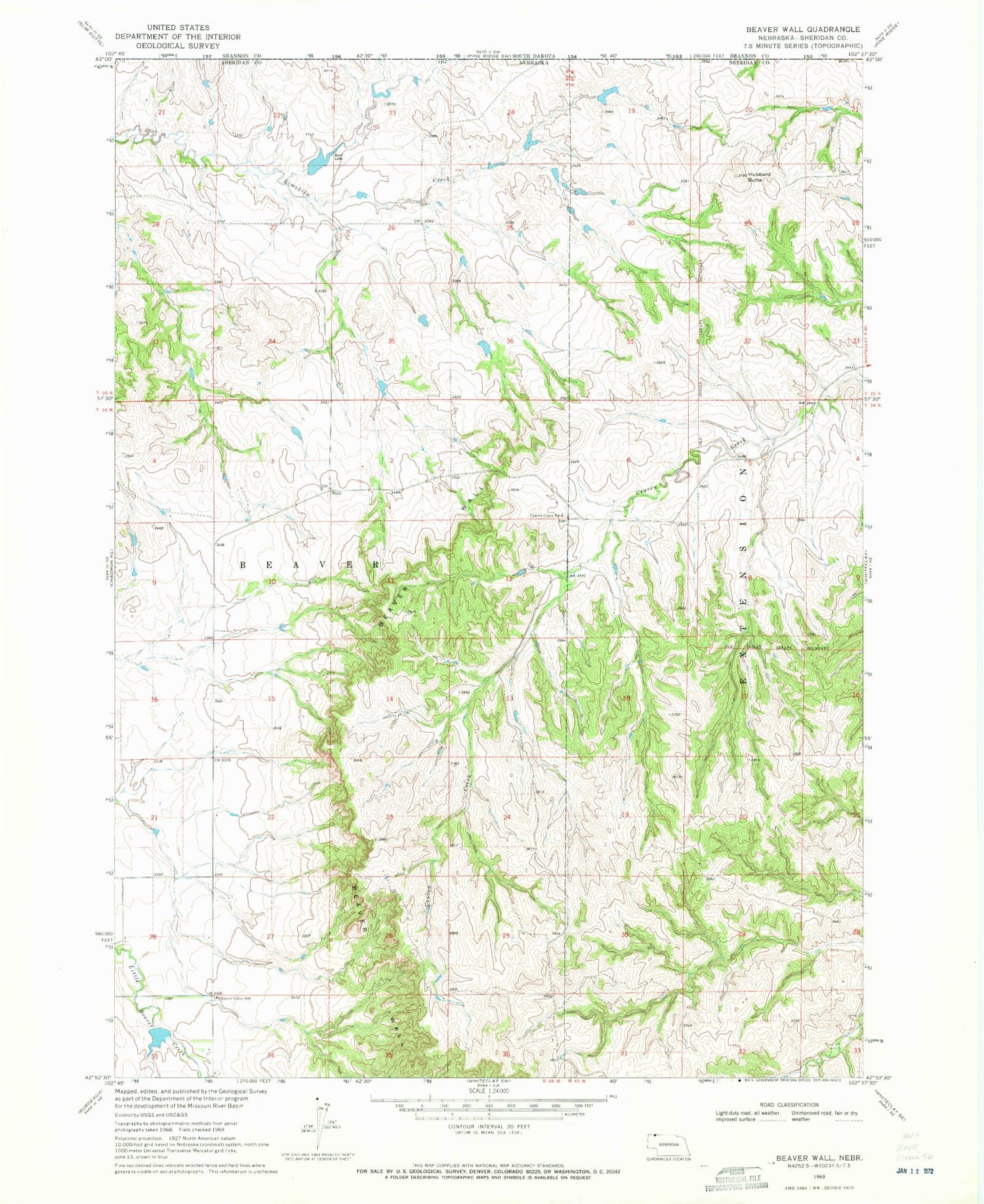
Historical USGS topographic quad map of Beaver Wall in the state of Nebraska. Map scale may vary for some years, but is generally around 1:24,000. Print size is approximately 24" x 27"
This quadrangle is in the following counties: Oglala Lakota, Sheridan.
The map contains contour lines, roads, rivers, towns, and lakes. Printed on high-quality waterproof paper with UV fade-resistant inks, and shipped rolled.
Contains the following named places: Beaver Valley School, Beaver Wall, Colwell Dam, Colwell Reservoir, Craven Creek School, Friends Church, Hubbard Butte, Lundy Dam, Lundy Reservoir