MyTopo
Classic USGS Beaver Arkansas 7.5'x7.5' Topo Map
Couldn't load pickup availability
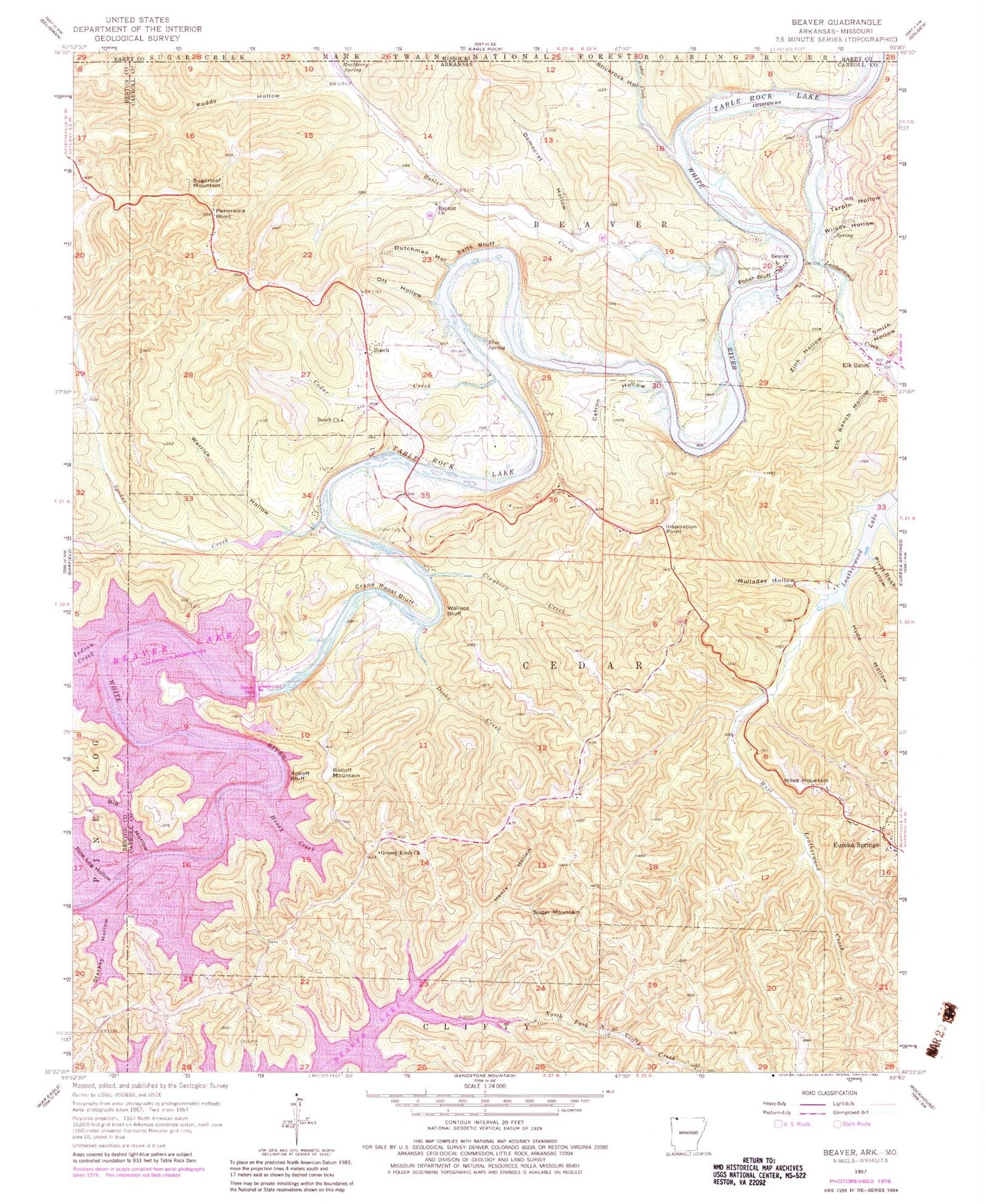
Historical USGS topographic quad map of Beaver in the state of Arkansas. Typical map scale is 1:24,000, but may vary for certain years, if available. Print size: 24" x 27"
This quadrangle is in the following counties: Barry, Benton, Carroll.
The map contains contour lines, roads, rivers, towns, and lakes. Printed on high-quality waterproof paper with UV fade-resistant inks, and shipped rolled.
Contains the following named places: Beaver Cemetery, Big Hollow, Blue Spring, Busch Church, Butler Creek, Catron Hollow, Cedar Creek, Cedar Creek, Clayborn Creek, Crane Roost Bluff, Democrat Hollow, Dicks Creek, Dutchman Hollow, Elk Ranch, Elk Ranch Hollow, Fuller Cemetery, Grassy Knob Church, Henry Hollow, Honey Creek, Hyde Hollow, Indian Creek, Inspiration Point, Leatherwood Creek, MacMerry Spring, Mulladay Hollow, North Fork North Clifty Creek, Ott Hollow, Panorama Point, Pine Log Hollow, Pivot Rock Hollow, Poddy Hollow, Poker Bluff, Rolloff Bluff, Salts Bluff, Smith Hollow, Spider Creek, Starkey Hollow, Tarpin Hollow, Walden Cemetery, Wallace Bluff, Warrick Hollow, Wilcox Hollow, Zink Hollow, Beaver, Busch, Miles Mountain, Rolloff Mountain, Sugar Mountain, Sugarloaf Mountain, Township of Beaver, Township of Cedar, Beaver Bridge, Beaver Dam Site Park, Mulladay Hollow Bridge, Walden (historical), Beaver Dam, Huffman Ford (historical), Farwell Spider Creek Lake Dam, Farwell Spider Creek Lake, Lake Leatherwood Dam, Leatherwood Lake, Busch Post Office, Slickrock Hollow, Grassy Knob Volunteer Fire Department, Holiday Island Fire Department Station 1, Holiday Island Volunteer Fire Department Station 3, Holiday Island Volunteer Fire Department Station 4, Inspiration Point Volunteer Fire Department Main Station, Inspiration Point Volunteer Fire Department Substation, Arkansas Game and Fish Commission Law Enforcement Northwest Regional Office, Holiday Island Fire Department Ambulance, Town of Beaver, Beaver Post Office, Banks Ranch Airport


