
MyTopo
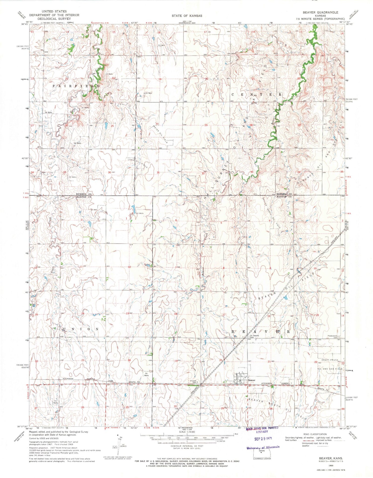
Classic USGS Beaver Kansas 7.5'x7.5' Topo Map
Couldn't load pickup availability
Historical USGS topographic quad map of Beaver in the state of Kansas. Map scale may vary for some years, but is generally around 1:24,000. Print size is approximately 24" x 27"
This quadrangle is in the following counties: Barton, Russell.
The map contains contour lines, roads, rivers, towns, and lakes. Printed on high-quality waterproof paper with UV fade-resistant inks, and shipped rolled.
Contains the following named places: Beaver, Beaver Census Designated Place, Beaver North Oil Field, Beaver Oil Field, Beaver Volunteer Fire Department, Dubuque Oil and Gas Field, Forest Hill, Friends Cemetery, Hall-Gurney Oil and Gas Field, Lang Oil Field, Meier Oil Field, Presbyterian Cemetery, Saint Joseph's Cemetery, Township of Beaver, Verbeck


