MyTopo
Classic USGS Beaver Ohio 7.5'x7.5' Topo Map
Couldn't load pickup availability
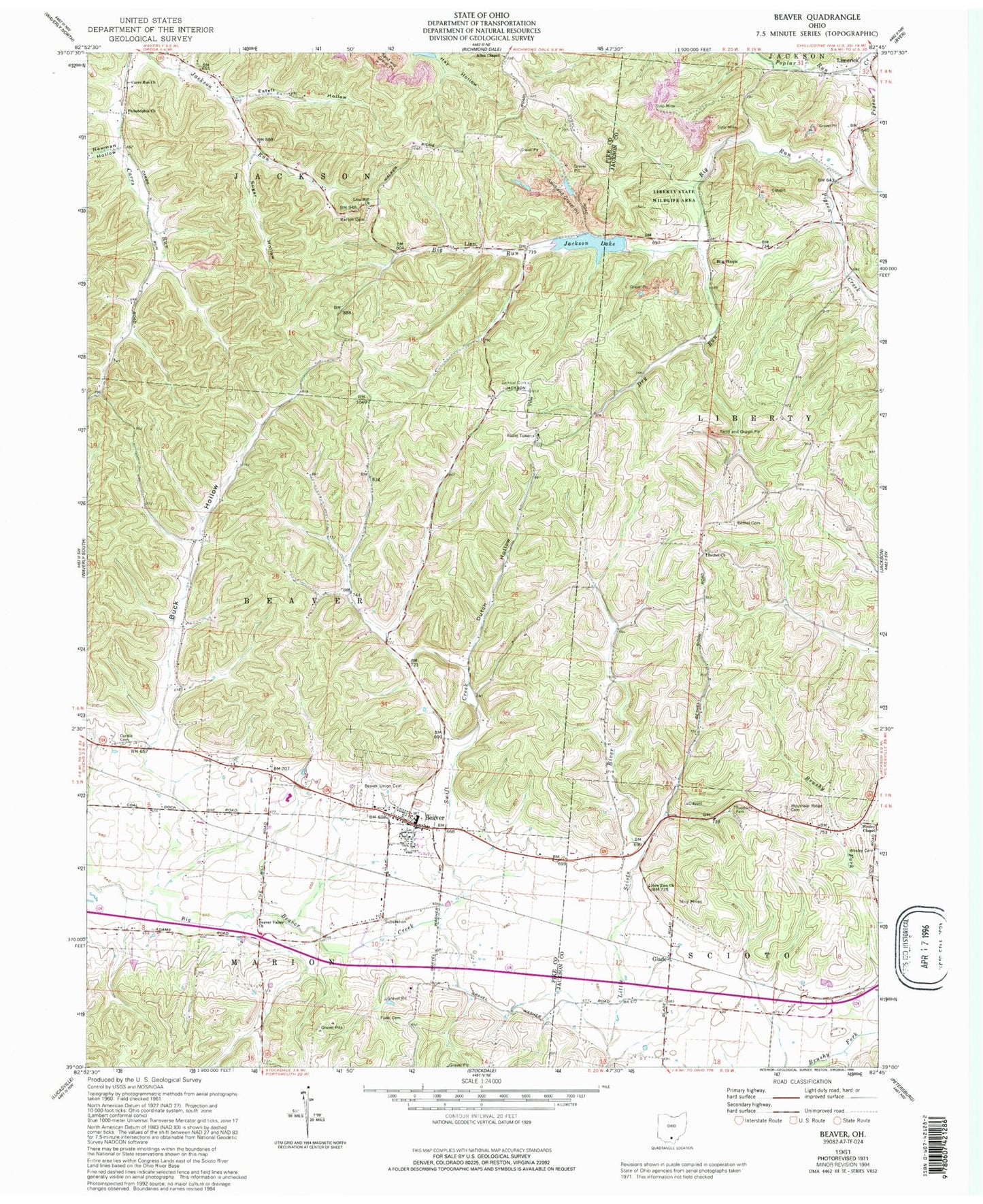
Historical USGS topographic quad map of Beaver in the state of Ohio. Typical map scale is 1:24,000, but may vary for certain years, if available. Print size: 24" x 27"
This quadrangle is in the following counties: Jackson, Pike.
The map contains contour lines, roads, rivers, towns, and lakes. Printed on high-quality waterproof paper with UV fade-resistant inks, and shipped rolled.
Contains the following named places: Allen Chapel, Barton Cemetery, Beaver Union Cemetery, Beaver Valley Church, Bethel Cemetery, Bethel Church, Big Run, Buck Hollow, Carrs Run Church, Cordle Cemetery, Dry Run, Dutch Hollow, Estell Hollow, Funk Cemetery, Jackson Cemetery, Jackson Lake, Liberty Wildlife Area, Linn Hill Church, New Zion Church, Newman Hollow, Philadelphia Church, Poplar Run, Sugar Hollow, Swift Creek, Big Rock, Big Rock, Howells Crossing, New Cove School (historical), Beaver Elementary School, Bee Lick, Buck Hollow Church (historical), Cars Run School (historical), Eastern High School, Mosher School (historical), Radar School (historical), Beaver, Glade, Linn, Cars Run (historical), Eastburn (historical), Big Rock Lake Dam, Big Rock Lake, Glade Airport (historical), Township of Beaver, Allen Chapel Cemetery, Carrs Run Cemetery, Emmanuel United Methodist Church, Old German Number 2 Cemetery, Mountain Ridge Cemetery, Eastburn Post Office (historical), Glade Post Office (historical), Cars Run Post Office (historical), Linn Post Office (historical), Beaver Post Office, Village of Beaver, Beaver Volunteer Fire Department, Beaver Sewage Treatment Plant


