MyTopo
Classic USGS Beaverdam Creek Oregon 7.5'x7.5' Topo Map
Couldn't load pickup availability
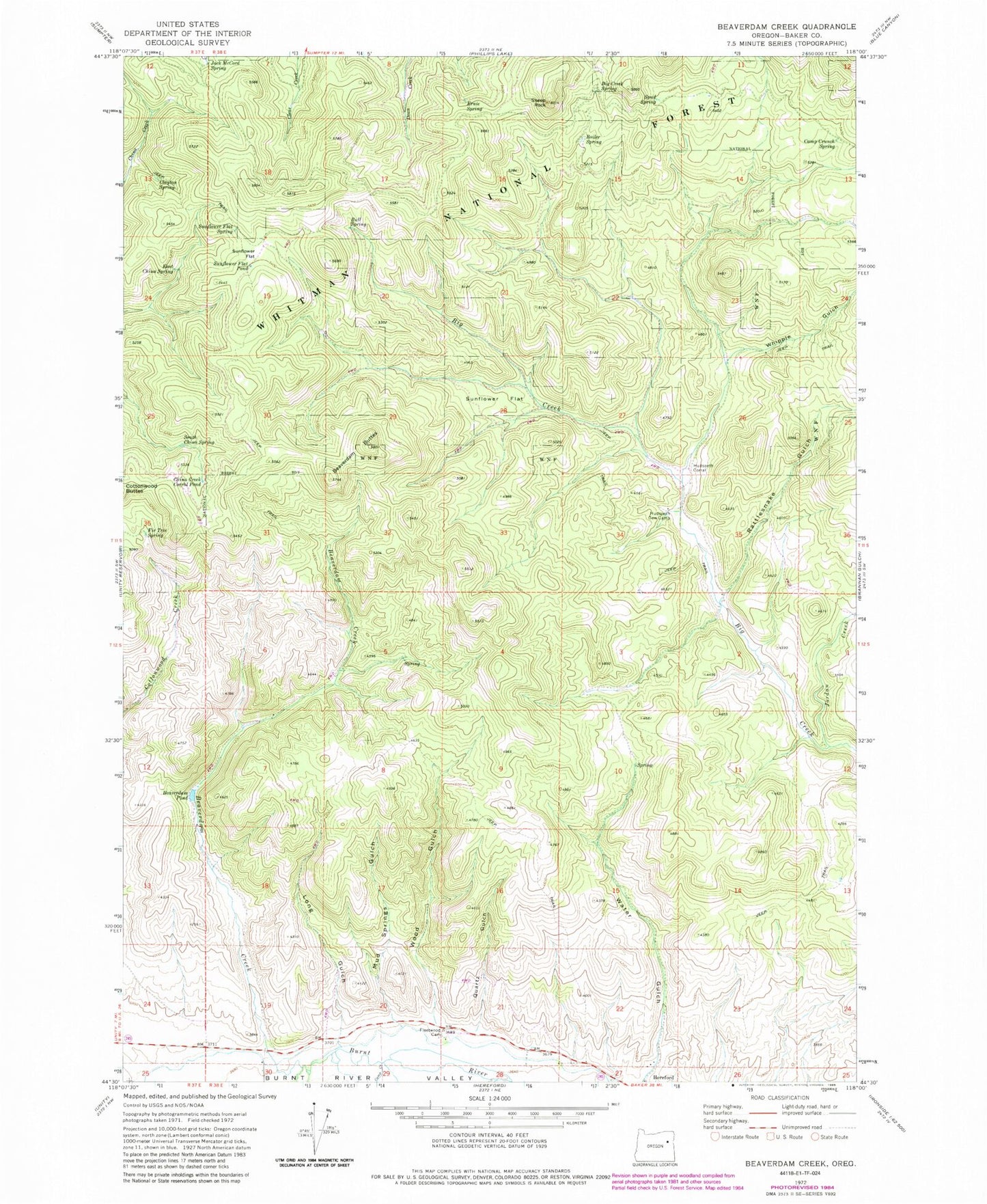
Historical USGS topographic quad map of Beaverdam Creek in the state of Oregon. Map scale may vary for some years, but is generally around 1:24,000. Print size is approximately 24" x 27"
This quadrangle is in the following counties: Baker.
The map contains contour lines, roads, rivers, towns, and lakes. Printed on high-quality waterproof paper with UV fade-resistant inks, and shipped rolled.
Contains the following named places: Alkali Spring, Asa Fleetwood Family Cemetery, Beaverdam Buttes, Beaverdam Creek, Beaverdam Pond, Big Creek Spring, Boiler Spring, Bull Spring, Camp Creek, Camp Crunch Spring, China Creek Corral Pond, Clayton Spring, Cleary Ditch, East China Spring, Ernie Spring, Fir Tree Spring, Hereford Ditch, Hudspeth Corral, Hudspeth Cow Camp, Jack McCord Spring, Jordan Creek, Long Gulch, Mud Springs, Mud Springs Gulch, Quartz Gulch, Rattlesnake Gulch, Sheep Rock, South China Spring, Spud Spring, Sunflower Flat, Sunflower Flat Pond, Sunflower Flat Spring, Whipple Gulch, Wood Gulch, ZIP Code: 97837