MyTopo
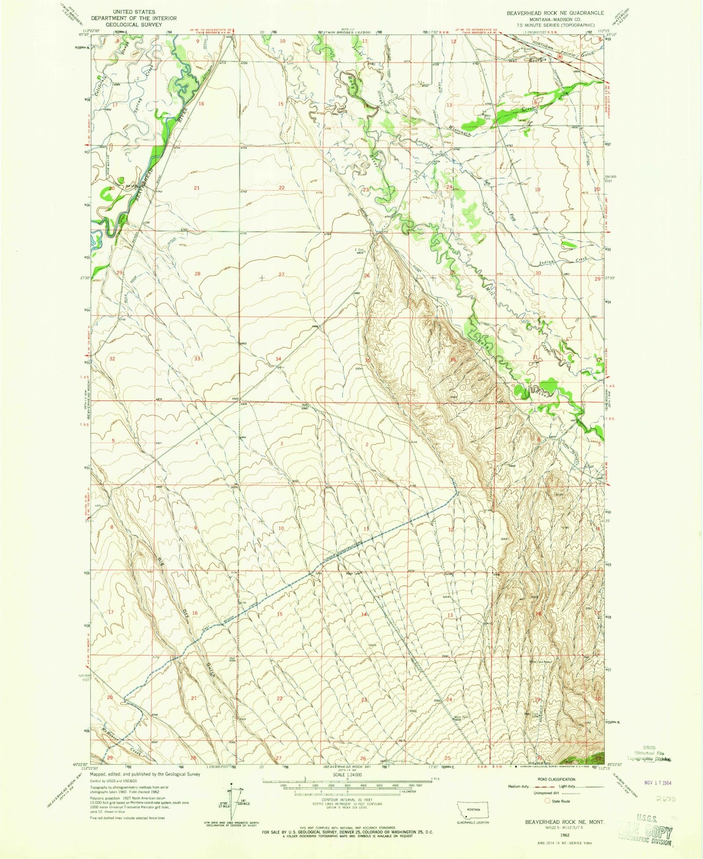
Classic USGS Beaverhead Rock NE Montana 7.5'x7.5' Topo Map
Couldn't load pickup availability
Historical USGS topographic quad map of Beaverhead Rock NE in the state of Montana. Map scale may vary for some years, but is generally around 1:24,000. Print size is approximately 24" x 27"
This quadrangle is in the following counties: Madison.
The map contains contour lines, roads, rivers, towns, and lakes. Printed on high-quality waterproof paper with UV fade-resistant inks, and shipped rolled.
Contains the following named places: 04S05W18CAAC01 Well, 04S06W16AAAA02 Well, 04S06W16DDDD02 Well, 04S06W26ABA_02 Well, 04S06W26ABB_02 Well, 04S06W27BAAA01 Well, 04S06W29AABA01 Well, 04S06W32ABB_02 Well, 04S06W32ABBA02 Well, 04S06W35BBBB01 Well, 05S05W05CCAA01 Well, 05S05W05CCCA01 Well, 05S06W03AAB_01 Well, 05S06W03BBB_01 Well, 05S06W04BDA_01 Well, 05S06W10BCCA01 Well, 05S06W12BBB01_ Well, 05S06W15ACB_01 Well, 05S06W17CAB_01 Well, 59754, Beaverhead River Bridge, Castle Rock, Cottonwood Ranch, Duncan School, Indian Creek, Left Fork Leonard Slough, Leonard Slough, Mill Creek, Sarge Hall Ditch, Silver Springs, Wet Georgia Gulch, Wisconsin Creek


