MyTopo
Classic USGS Beaverhead Rock SW Montana 7.5'x7.5' Topo Map
Couldn't load pickup availability
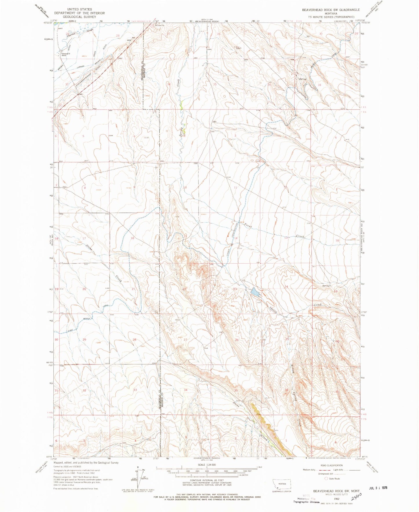
Historical USGS topographic quad map of Beaverhead Rock SW in the state of Montana. Map scale may vary for some years, but is generally around 1:24,000. Print size is approximately 24" x 27"
This quadrangle is in the following counties: Beaverhead, Madison.
The map contains contour lines, roads, rivers, towns, and lakes. Printed on high-quality waterproof paper with UV fade-resistant inks, and shipped rolled.
Contains the following named places: 05S06W30CBA_01 Well, 05S07W26CDD_01 Well, 05S07W32ACC_01 Well, 05S07W34DDDC01 Well, 05S07W35BBA_01 Well, 06S07W15DAA_02 Well, 06S07W16BBBB01 Well, 06S07W16DBCB01 Well, 06S07W18ADA_01 Well, 06S07W20AAD_01 Well, 06S07W21ABCB01 Well, 06S07W28DDAD01 Well, 06S07W34ABCC01 Well, Brown Ditch, Cosmic Nick Dam, Diamond O Ranch, Trout Creek, Willow Spring Creek