MyTopo
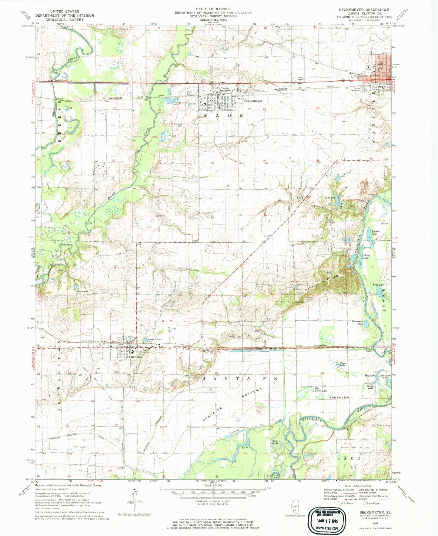
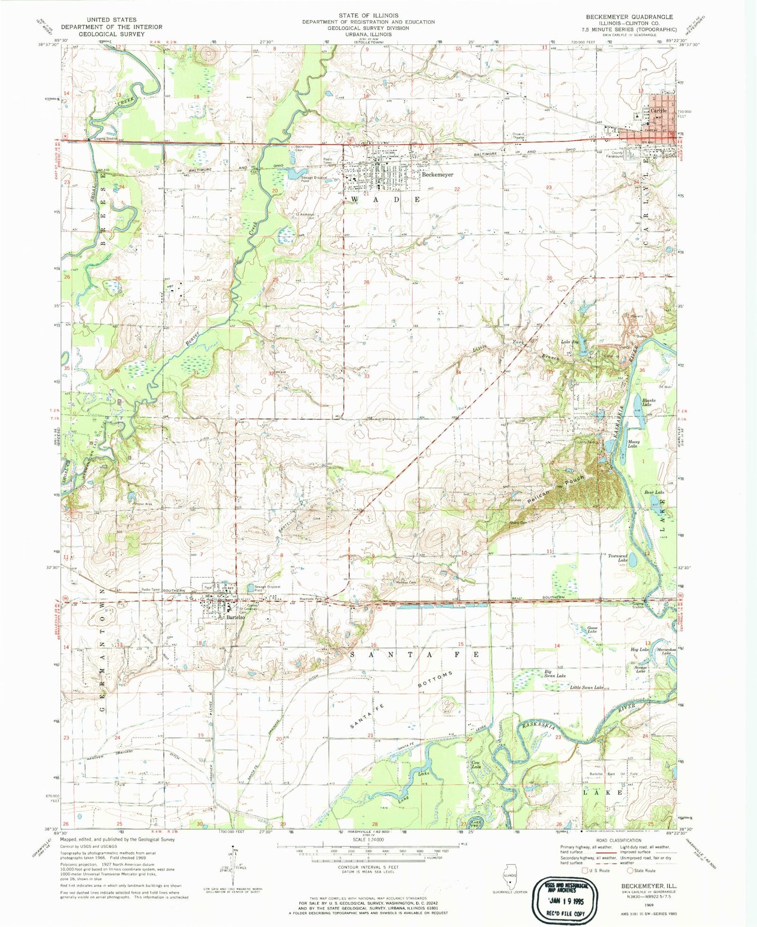
Classic USGS Beckemeyer Illinois 7.5'x7.5' Topo Map
Couldn't load pickup availability
Historical USGS topographic quad map of Beckemeyer in the state of Illinois. Map scale may vary for some years, but is generally around 1:24,000. Print size is approximately 24" x 27"
This quadrangle is in the following counties: Clinton.
The map contains contour lines, roads, rivers, towns, and lakes. Printed on high-quality waterproof paper with UV fade-resistant inks, and shipped rolled.
Contains the following named places: Appeal School, Bartelso, Bartelso East Oil Field, Bartelso Elementary School, Bartelso Oil Field, Bartelso Post Office, Bartelso Water Treatment Plant, Bartelso West Oil Field, Bear Lake, Beaver Creek, Beckemeyer, Beckemeyer - Wade Volunteer Fire Protection District, Beckemeyer Cemetery, Beckemeyer Elementary School, Beckemeyer Post Office, Becker School, Big Swan Lake, Blanke Lake, Bluff Lake, Calamus Lake, Camp Joy, Clinton County, Clinton County Fairground, Club Lake, Colmers Ferry, Cow Lake, Crocker School, Dennis Meier Heliport, Germantown East Oil Field, Goose Lake, Grassy Lake, Greenville Old City Lake, Greenville Old City Lake Dam, Hanover Levee, Hog Lake, Horseshoe Lake, Immanuel United Church of Christ, Ira Maddux Cemetery, Johnson Cemetery, Lake Joy, Lake Joy Dam, Little Swan Lake, Little York Branch, Little York School, Locey Cemetery, Loepker Dairy Farm, Long Lake, Mossy Lake, Pelican Pouch, Ridge School, Royal Lake Resort, Saint Anthonys Catholic Church, Saint Anthonys Cemetery, Saint Cecilia Parish Center, Saint Cecilia's Cemetery, Santa Fe Bottoms, Santa Fe Drainage Ditch, Santa Fe Fire Protection District, Santa Fe Levee, Savage Lake, Schuetz Farm, Sharp Cemetery, Snearlyville, Townsend Lake, Township of Santa Fe, Township of Wade, Varel Dairy, Village of Bartelso, Village of Beckemeyer, Zachary, ZIP Codes: 62218, 62219


