MyTopo
Classic USGS Becket NE Montana 7.5'x7.5' Topo Map
Regular price
$16.95
Regular price
Sale price
$16.95
Unit price
per
Couldn't load pickup availability
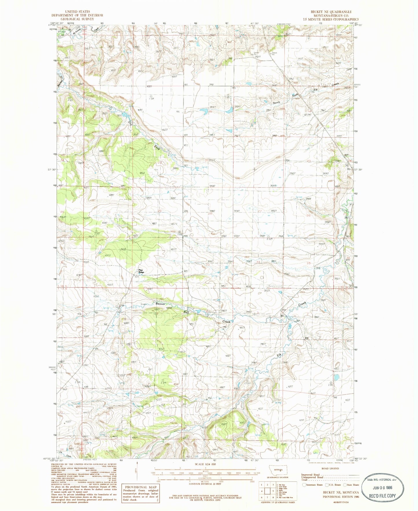
Historical USGS topographic quad map of Becket NE in the state of Montana. Map scale may vary for some years, but is generally around 1:24,000. Print size is approximately 24" x 27"
This quadrangle is in the following counties: Fergus.
The map contains contour lines, roads, rivers, towns, and lakes. Printed on high-quality waterproof paper with UV fade-resistant inks, and shipped rolled.
Contains the following named places: 14N23E18CDB_01 Well, Beaver Ball Creek, Butler Coulee, Dry Fork, Finkbeiner School, Kuhry Dam, Lundstrand School, Maddox School, O Lane Number 1 Dam, Pine Ridge