MyTopo
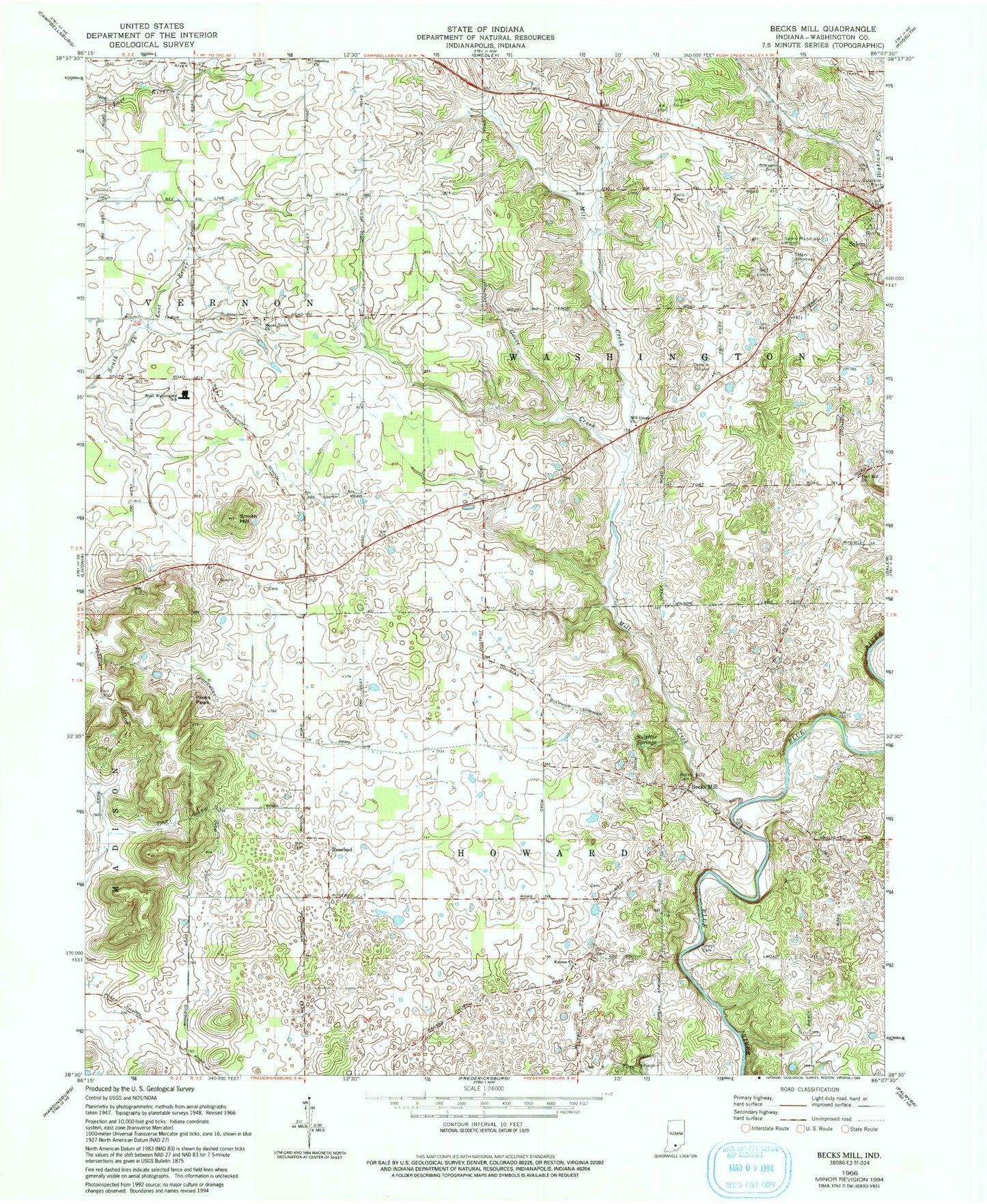
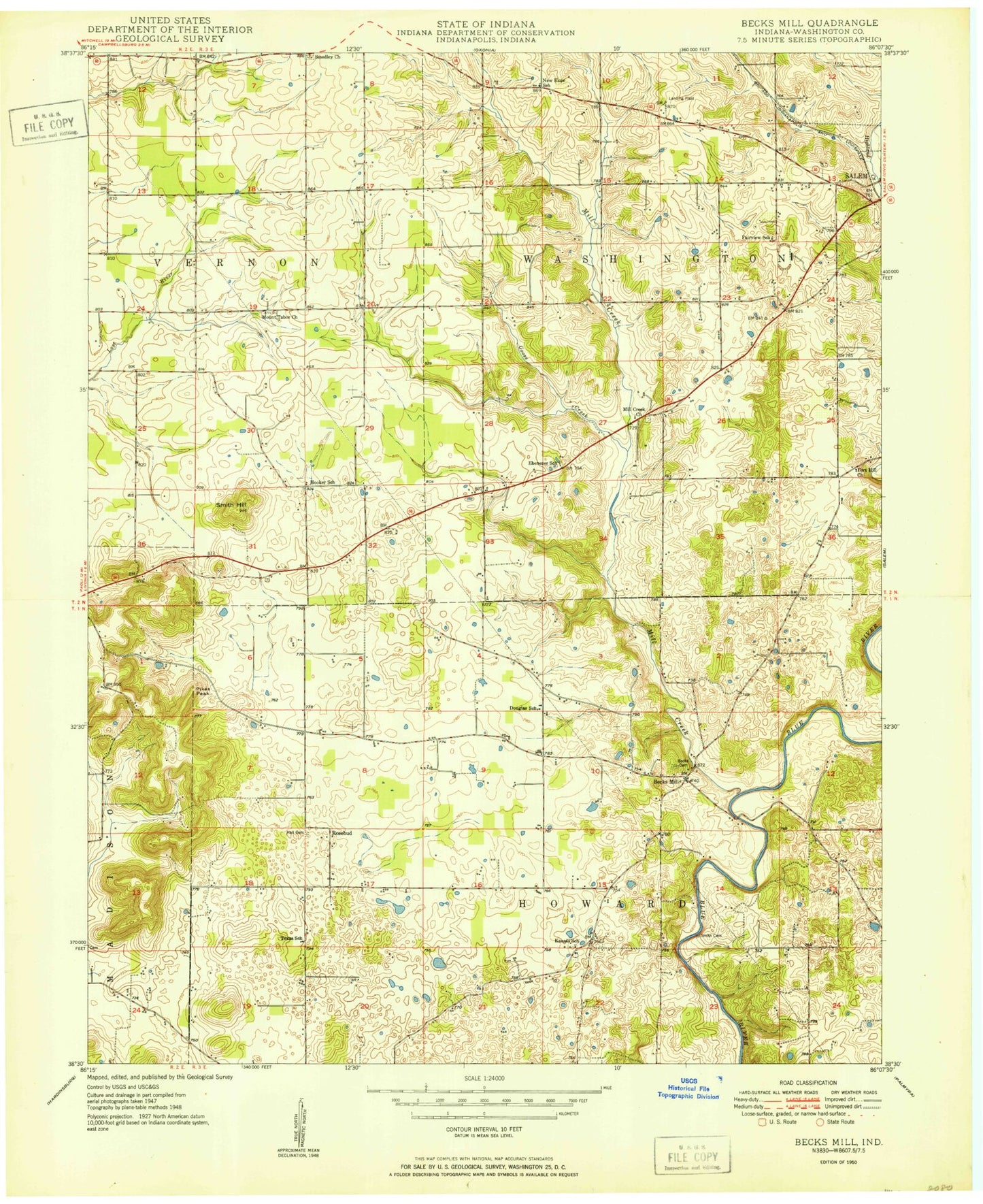
Classic USGS Becks Mill Indiana 7.5'x7.5' Topo Map
Couldn't load pickup availability
Historical USGS topographic quad map of Becks Mill in the state of Indiana. Map scale may vary for some years, but is generally around 1:24,000. Print size is approximately 24" x 27"
This quadrangle is in the following counties: Washington.
The map contains contour lines, roads, rivers, towns, and lakes. Printed on high-quality waterproof paper with UV fade-resistant inks, and shipped rolled.
Contains the following named places: Beck Cemetery, Becks Mill, Coggswell Cemetery, Douglas School, Ebenezer School, Fort Hill Church, Goose Creek, Hall Cemetery, Henry Poultry Farms, Indian Spring, Kansas Church, Kansas Church of Christ Cemetery, Kansas School, Mill Creek, Mill Creek Church, Mount Tabor Christian Church Cemetery, Mount Tabor Church, Owsley Quarry, Pikes Peak, Rosebud, Salem Municipal Airport, Salem Speedway, Smedley Church, Smith - Miller Cemetery, Smith Hill, Sulphur Springs, Texas School, Township of Howard, West Washington Elementary School, West Washington Junior-Senior High School


