MyTopo
Classic USGS Bedford Kentucky 7.5'x7.5' Topo Map
Couldn't load pickup availability
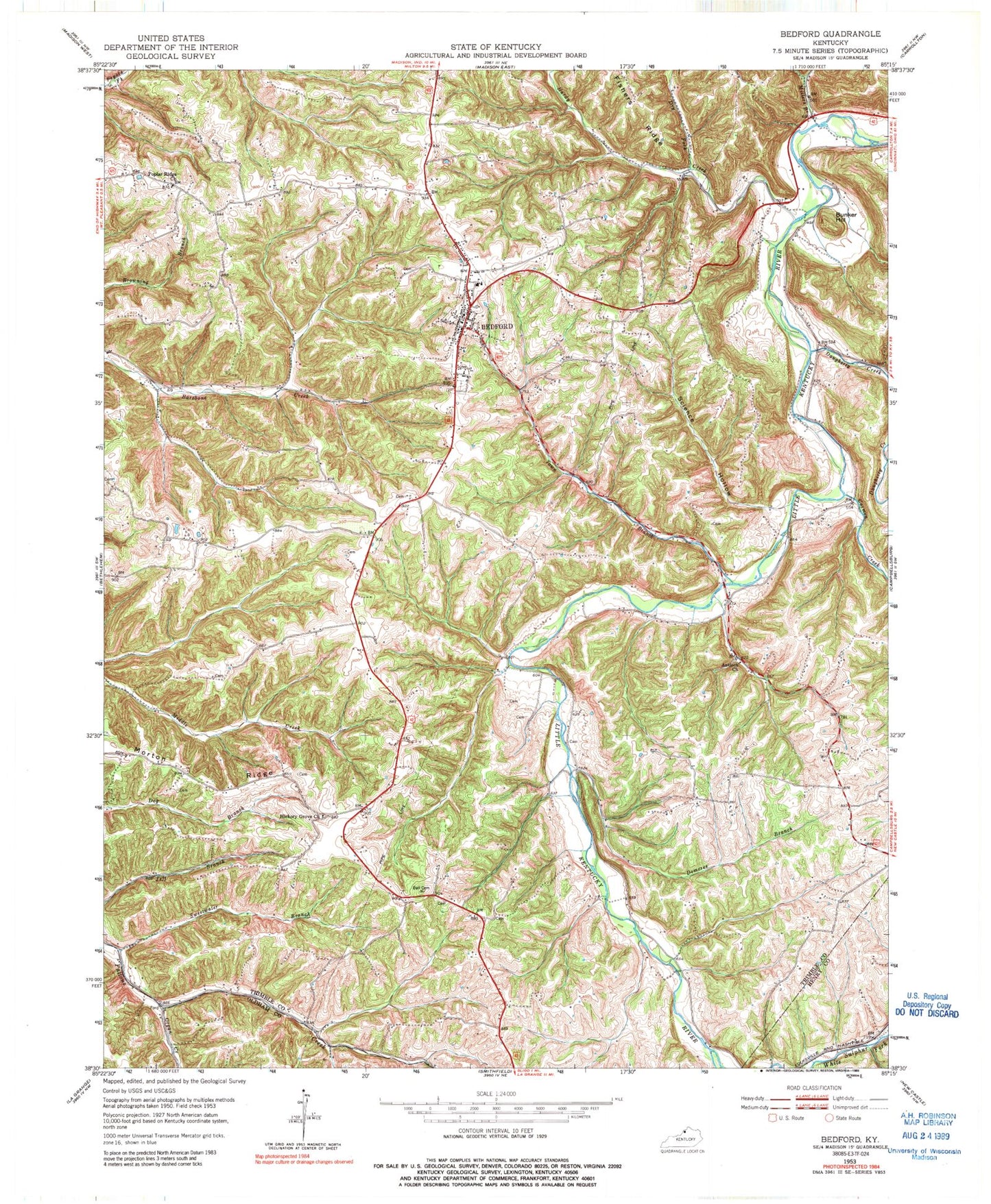
Historical USGS topographic quad map of Bedford in the state of Kentucky. Map scale may vary for some years, but is generally around 1:24,000. Print size is approximately 24" x 27"
This quadrangle is in the following counties: Henry, Oldham, Trimble.
The map contains contour lines, roads, rivers, towns, and lakes. Printed on high-quality waterproof paper with UV fade-resistant inks, and shipped rolled.
Contains the following named places: Antioch Church, Barebone, Bedford, Bedford Division, Bedford Post Office, Bedford Springs and Hotel Historical Marker, Bedford Volunteer Fire and Rescue, Bedford Volunteer Fire Department and Ambulance Service, Bunker Hill, Burroughs, Burrows Cemetery, Carmon, Carmon Creek, City of Bedford, Daugherty Creek, Demeree Branch, Dry Fork, Estes Cemetery, Foree Cemetery Number 2, Gill Ridge, Hardy Creek, Hickory Grove, Hickory Grove Church, Millers Branch, Morton Ridge, Organ Creek, Poplar Ridge, Poplar Ridge Church, Pruiett Cemetery, Science Hollow, Staten - Garriott Cemetery, Sweetwater Branch, Town Branch, Trimble County, Trimble County Historical Marker, Trimble County Jail Historical Marker, Trimble County Sheriff's Office, Upper Middle Creek, ZIP Code: 40006