MyTopo
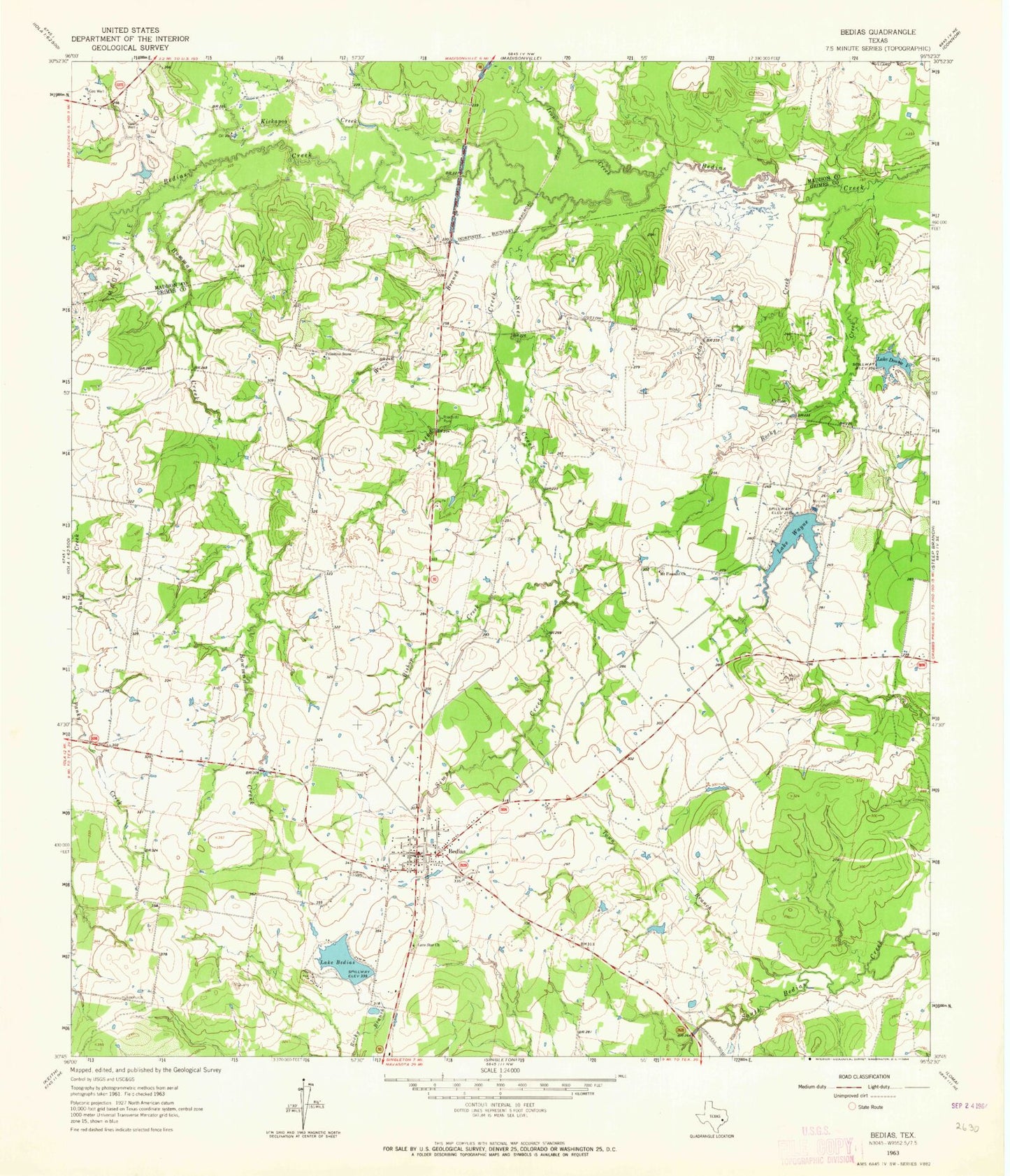
Classic USGS Bedias Texas 7.5'x7.5' Topo Map
Couldn't load pickup availability
Historical USGS topographic quad map of Bedias in the state of Texas. Typical map scale is 1:24,000, but may vary for certain years, if available. Print size: 24" x 27"
This quadrangle is in the following counties: Grimes, Madison.
The map contains contour lines, roads, rivers, towns, and lakes. Printed on high-quality waterproof paper with UV fade-resistant inks, and shipped rolled.
Contains the following named places: Bedias, Bedias Creek, Lake Bedias, Bishop Creek, Bowman Creek, Cedar Creek, Lake Donna V, Iron Creek, Kickapoo Creek, Lone Star Church, Mount Pleasant Church, Primitive Stone Church, Rocky Creek, Simes Creek, Town Branch, Twisted Creek, Lake Wayne, Wren Branch, Cotton, Lake Bedias Dam, Lake Wayne Dam, Lake Donna V Dam, Bullard Lake Dam, Bullard Lake, City of Bedias, Saint Joseph Emergency Medical Services, Bedias Post Office, Bedias City Office