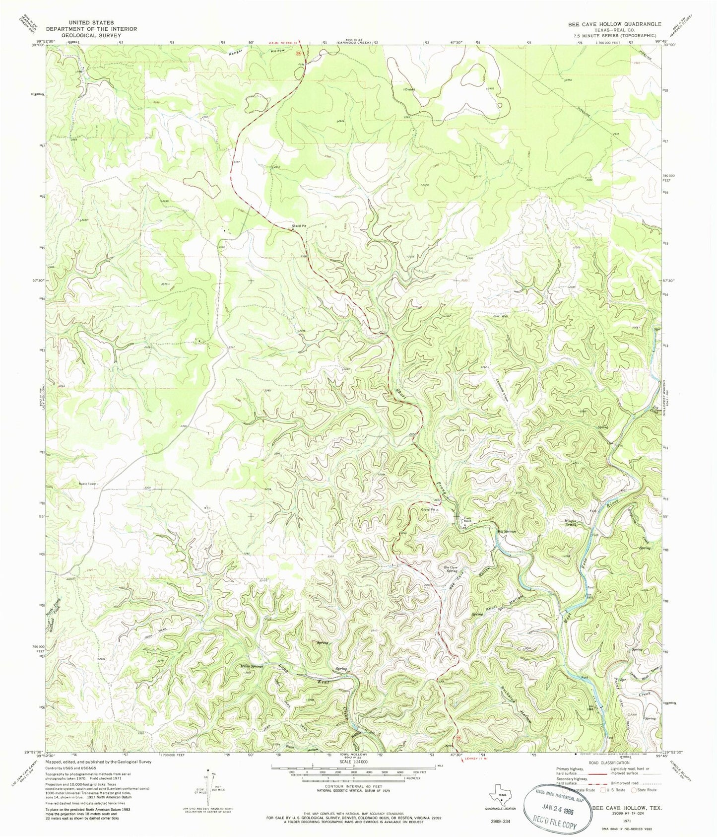
MyTopo
Classic USGS Bee Cave Hollow Texas 7.5'x7.5' Topo Map
Regular price
$16.95
Regular price
Sale price
$16.95
Unit price
per
Couldn't load pickup availability
Historical USGS topographic quad map of Bee Cave Hollow in the state of Texas. Map scale may vary for some years, but is generally around 1:24,000. Print size is approximately 24" x 27"
This quadrangle is in the following counties: Real.
The map contains contour lines, roads, rivers, towns, and lakes. Printed on high-quality waterproof paper with UV fade-resistant inks, and shipped rolled.
Contains the following named places: Anvil Hollow, Bee Cave Hollow, Bee Cave Spring, Big Springs, Chittim Springs, Grapevine Creek, Joy Creek, Miller Springs, Mingus Spring, Paint Creek, Plum Hollow, Prade Ranch, Prade Ranch Airport, Prade Springs, Short Prong West Frio River, Yellow Bluff Draw